|
|
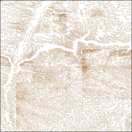
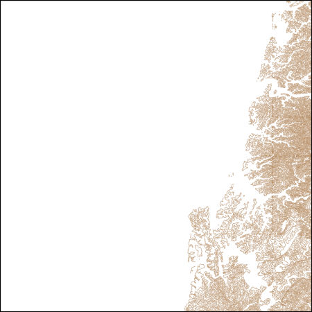
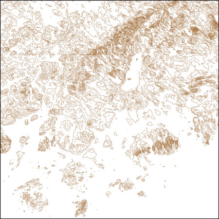
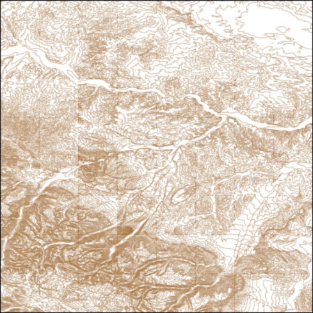
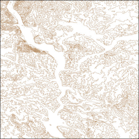
These vector contour lines are derived from the 3D Elevation Program using automated and semi-automated processes. They were created to support 1:24,000-scale CONUS and Hawaii, 1:25,000-scale Alaska, and 1:20,000-scale Puerto Rico / US Virgin Island topographic map products, but are also published in this GIS vector format. Contour intervals are assigned by 7.5-minute quadrangle, so this vector dataset is not visually seamless across quadrangle boundaries. The vector lines have elevation attributes (in feet above mean sea level on NAVD88), but this dataset does not carry line symbols or annotation.
Tags: 1 x 1 degree,
1 x 1 degree,
Downloadable Data,
Elevation,
Elevation Terrestrial, All tags...
FileGDB 10.1,
FileGDB 10.1,
Garfield County,
MT,
Montana,
National Elevation Dataset (NED),
National Elevation Dataset (NED) 1/3 arc-second - Contours,
National Elevation Dataset (NED) 1/3 arc-second - Contours,
Petroleum County,
Phillips County,
US,
US,
United States,
United States,
Valley County,
elevation,
ngda, Fewer tags
|
These vector contour lines are derived from the 3D Elevation Program using automated and semi-automated processes. They were created to support 1:24,000-scale CONUS and Hawaii, 1:25,000-scale Alaska, and 1:20,000-scale Puerto Rico / US Virgin Island topographic map products, but are also published in this GIS vector format. Contour intervals are assigned by 7.5-minute quadrangle, so this vector dataset is not visually seamless across quadrangle boundaries. The vector lines have elevation attributes (in feet above mean sea level on NAVD88), but this dataset does not carry line symbols or annotation.
Tags: 1 x 1 degree,
1 x 1 degree,
Coos County,
Douglas County,
Downloadable Data, All tags...
Elevation,
Elevation Terrestrial,
FileGDB 10.1,
FileGDB 10.1,
Lane County,
National Elevation Dataset (NED),
National Elevation Dataset (NED) 1/3 arc-second - Contours,
National Elevation Dataset (NED) 1/3 arc-second - Contours,
OR,
Oregon,
US,
US,
United States,
United States,
elevation,
ngda, Fewer tags
|
These vector contour lines are derived from the 3D Elevation Program using automated and semi-automated processes. They were created to support 1:24,000-scale CONUS and Hawaii, 1:25,000-scale Alaska, and 1:20,000-scale Puerto Rico / US Virgin Island topographic map products, but are also published in this GIS vector format. Contour intervals are assigned by 7.5-minute quadrangle, so this vector dataset is not visually seamless across quadrangle boundaries. The vector lines have elevation attributes (in feet above mean sea level on NAVD88), but this dataset does not carry line symbols or annotation.
Tags: 1 x 1 degree,
1 x 1 degree,
Downloadable Data,
Elevation,
Elevation Terrestrial, All tags...
FileGDB 10.1,
FileGDB 10.1,
HancockCounty,
KnoxCounty,
ME,
Maine,
National Elevation Dataset (NED),
National Elevation Dataset (NED) 1/3 arc-second - Contours,
National Elevation Dataset (NED) 1/3 arc-second - Contours,
PenobscotCounty,
US,
United States,
WaldoCounty,
WashingtonCounty,
elevation,
ngda, Fewer tags
|
These vector contour lines are derived from the 3D Elevation Program using automated and semi-automated processes. They were created to support 1:24,000-scale CONUS and Hawaii, 1:25,000-scale Alaska, and 1:20,000-scale Puerto Rico / US Virgin Island topographic map products, but are also published in this GIS vector format. Contour intervals are assigned by 7.5-minute quadrangle, so this vector dataset is not visually seamless across quadrangle boundaries. The vector lines have elevation attributes (in feet above mean sea level on NAVD88), but this dataset does not carry line symbols or annotation.
Tags: 1 x 1 degree,
1 x 1 degree,
Carbon County,
Downloadable Data,
Elevation, All tags...
Elevation Terrestrial,
FileGDB 10.1,
FileGDB 10.1,
MT,
Montana,
National Elevation Dataset (NED),
National Elevation Dataset (NED) 1/3 arc-second - Contours,
National Elevation Dataset (NED) 1/3 arc-second - Contours,
Park County,
Park County,
Stillwater County,
Sweet Grass County,
US,
US,
United States,
United States,
WY,
Wyoming,
elevation,
ngda, Fewer tags
|
These vector contour lines are derived from the 3D Elevation Program using automated and semi-automated processes. They were created to support 1:24,000-scale CONUS and Hawaii, 1:25,000-scale Alaska, and 1:20,000-scale Puerto Rico / US Virgin Island topographic map products, but are also published in this GIS vector format. Contour intervals are assigned by 7.5-minute quadrangle, so this vector dataset is not visually seamless across quadrangle boundaries. The vector lines have elevation attributes (in feet above mean sea level on NAVD88), but this dataset does not carry line symbols or annotation.
Tags: 1 x 1 degree,
1 x 1 degree,
Burleigh County,
Downloadable Data,
Elevation, All tags...
Elevation Terrestrial,
Emmons County,
FileGDB 10.1,
FileGDB 10.1,
Kidder County,
Morton County,
ND,
National Elevation Dataset (NED),
National Elevation Dataset (NED) 1/3 arc-second - Contours,
National Elevation Dataset (NED) 1/3 arc-second - Contours,
North Dakota,
Oliver County,
Sioux County,
US,
US,
United States,
United States,
elevation,
ngda, Fewer tags
|
View more...
|