USGS National Transportation Dataset (NTD) Downloadable Data Collection
Dates
Publication Date
2023
Start Date
2014
Citation
U.S. Geological Survey, National Geospatial Technical Operations Center, 2023, USGS National Transportation Dataset (NTD) Downloadable Data Collection: U.S. Geological Survey.
Summary
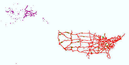
The USGS Transportation downloadable data from The National Map (TNM) is based on TIGER/Line data provided through U.S. Census Bureau and supplemented with HERE road data to create tile cache base maps. Some of the TIGER/Line data includes limited corrections done by USGS. Transportation data consists of roads, railroads, trails, airports, and other features associated with the transport of people or commerce. The data include the name or route designator, classification, and location. Transportation data support general mapping and geographic information system technology analysis for applications such as traffic safety, congestion mitigation, disaster planning, and emergency response. The National Map transportation data is commonly [...]
Summary
The USGS Transportation downloadable data from The National Map (TNM) is based on TIGER/Line data provided through U.S. Census Bureau and supplemented with HERE road data to create tile cache base maps. Some of the TIGER/Line data includes limited corrections done by USGS. Transportation data consists of roads, railroads, trails, airports, and other features associated with the transport of people or commerce. The data include the name or route designator, classification, and location. Transportation data support general mapping and geographic information system technology analysis for applications such as traffic safety, congestion mitigation, disaster planning, and emergency response. The National Map transportation data is commonly combined with other data themes, such as boundaries, elevation, hydrography, and structures, to produce general reference base maps. The National Map viewer allows free downloads of public domain transportation data in either Esri File Geodatabase or Shapefile formats. For additional information on the transportation data model, go to https://www.usgs.gov/core-science-systems/national-geospatial-program/national-map.
This dataset depicts geographic features on the surface of the earth. It is a general purpose dataset for users who are not GIS experts. One intended purpose is to support emergency response at all levels of government. The geospatial data are from selected National Map data holdings and other government sources.