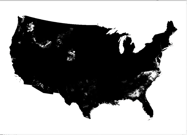
The national grids of the agricultural use of 199 pesticides weredeveloped to support hydrologic studies that are part of the U.S.Geological Survey's (USGS) National Water Quality Assessment (NAWQA)Program. The goal of the NAWQA program is to develop long-termconsistent and comparable information on streams, ground water, andaquatic ecosystems to support sound management and policy decisions(U.S. Geological Survey, 2001; Gilliom and others, 1995). The NAWQAprogram, which began in 1991, consists of long-term cyclical studiesin over 50 major river basins and aquifers in the United States.Pesticide-use grids are used in the NAWQA program to: 1) determineoverall estimates of agricultural pesticide use in major watersheds(as documented in Nakagaki and Wolock, 2005) and other large studyareas; 2) provide input into national models, such as theregression model for predicting concentration of pesticidedistributions in unmonitored rivers and streams (as described inLarson and others, 2004); and 3) display the spatial distributionand use intensity of agricultural pesticides in the conterminousUnited States in USGS publications (as shown in Gilliom andothers, 2006).Purpose References:Gilliom, R.J., Alley, W.M., and Gurtz, M.E., 1995, Design of theNational Water-Quality Assessment Program--occurrence anddistribution of water-quality conditions: U.S. Geological SurveyCircular 1112, 33 p.Gilliom, R.J., Barbash, J.E., Crawford, C.G., Hamilton, P.A.,Martin, J.D., Nakagaki, Naomi., Nowell, L.H., Scott, J.C., Stackelberg,P.E., Thelin, G.P., and Wolock, D.M., 2006, The Quality of OurNation's Waters -- Pesticides in the Nation's Streams and GroundWater, 1992-2001: U.S. Geological Survey Circular 1291, 172 p.Larson, S.J., Crawford, C.G., and Gilliom, R.J., 2004, Developmentand application of watershed regressions for pesticides (WARP)for estimating atrazine concentration distributions instreams: U.S. Geological Survey Water-Resources InvestigationsReport 03-4047, 68 p.Nakagaki, Naomi, and Wolock, D.M., 2005, Estimation of agriculturalpesticide use in drainage basins using land cover maps and countypesticide data: U.S. Geological Survey Open-File Report 2005-1188,46 p.U.S. Geological Survey, 2001, The National Water Quality AssessmentProgram-- entering a new decade of investigations: U.S. GeologicalSurvey Fact Sheet 071-01, accessed 1/30/06, athttp://pubs.usgs.gov/fs/fs-071-01/
