CoverType is a photo-interpreted delineation of the Tongass National Forest by land type and timber cover type. Classification of lands was done sequentially: 1) land and water identified; 2) forested and non-forested areas were identified; 3) forested areas were classified by forest type and forest productivity; and 4) productive forest lands were further characterized by volume class, tree size, species composition. The original classifications were based on photo-interpretation of 1:15840 aerial photographs in 1978. The minimum map unit size is approximately 10 acres, though the average area for forested polygons is 60 acres. Additionally, CoverType is updated for new stands created through natural events or management activity. [...]
Summary
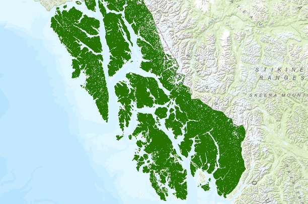
CoverType is a photo-interpreted delineation of the Tongass National Forest by land type and timber cover type. Classification of lands was done sequentially: 1) land and water identified; 2) forested and non-forested areas were identified; 3) forested areas were classified by forest type and forest productivity; and 4) productive forest lands were further characterized by volume class, tree size, species composition. The original classifications were based on photo-interpretation of 1:15840 aerial photographs in 1978. The minimum map unit size is approximately 10 acres, though the average area for forested polygons is 60 acres. Additionally, CoverType is updated for new stands created through natural events or management activity. The data has also been corrected for errors, as found, that occurred during the attributing and digitizing of the original classification data.