Elevation lines from United States Geological Survey (USGS) 7.5 minute quadrangle maps. Contour interval is 10, 20 or 40 feet, depending on quad. As additional quads become available from USGS, the map extent will be expanded.
Summary
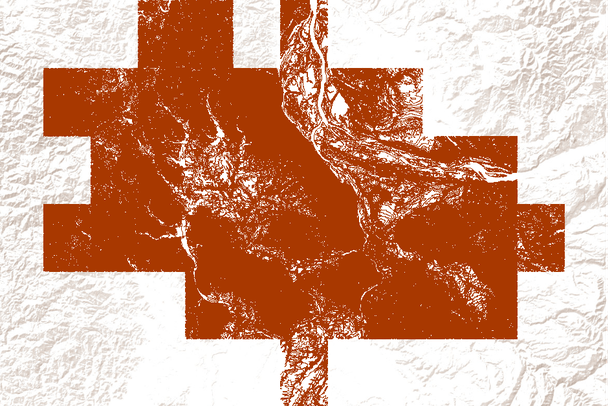
Elevation lines from United States Geological Survey (USGS) 7.5 minute quadrangle maps. Contour interval is 10, 20 or 40 feet, depending on quad. As additional quads become available from USGS, the map extent will be expanded.