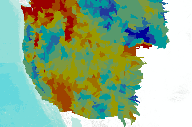
Weighted average soil clay fraction (<0.002 mm) for the western USA
Dates
Original Data Basin Creation Date
2010-12-27 09:10:35
Original Data Basin Modified Date
2011-05-13 18:55:44
Summary
Derived from 1:250,000-scale USGS HUC 8 boundaries, this dataset represents the soil clay fraction for the western USA. The values are expressed as percent by weight.
Summary
Derived from 1:250,000-scale USGS HUC 8 boundaries, this dataset represents the soil clay fraction for the western USA. The values are expressed as percent by weight.