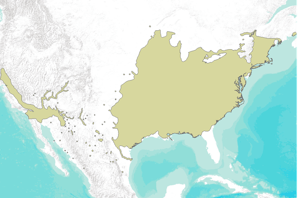
Black willow (Salix nigra) extent, North America

Dates

Original Data Basin Creation Date
2010-12-02 09:57:13
Original Data Basin Modified Date
2012-12-14 17:56:29

Summary

These maps are a digital representation of the individual tree species range maps of the Atlas of the United States Trees by Elbert L. Little, Jr. The atlas shows the natural distribution or range of the native tree species of North America. These coverages represent 3 volumes of the atlas. Little's tree extent maps can be found in the Data Basin gallery here: http://app.databasin.org/app/pages/galleryPage.jsp?id=5e449f3c91304f498a96299a9d5460a3

Contacts

Attached Files

Preview Image

Map

Communities

  • Data Basin

Tags

Provenance

Data source
Little, Elbert L., Jr. 1971. Atlas of United States trees. Volume 1. Conifers and important hardwoods. Miscellaneous Publication 1146. Washington, DC: U.S. Department of Agriculture, Forest Service. 9 p., illus. [313 maps, folio].
Harvested on Fri May 23 09:41:24 MDT 2014 from Data Basin Service

Additional Information

Identifiers

Type Scheme Key
UniqueKey Data Basin a45da217c0e643e8948e40532c5f6d08

Item Actions

View Item as ...

Save Item as ...

View Item...