This metadata describes water point data for the Oregon Framework Hydrography data and the standard system used to identify the state's surface water. The Water Points (WP) layer is the repository for springs, seeps and other hydrographic features with limited spatial extent (i.e. most easily represented by a point).
Summary
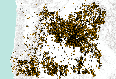
This metadata describes water point data for the Oregon Framework Hydrography data and the standard system used to identify the state's surface water. The Water Points (WP) layer is the repository for springs, seeps and other hydrographic features with limited spatial extent (i.e. most easily represented by a point).
