USGS Small-scale Dataset - 1:1,000,000-Scale Contours of Puerto Rico and the U.S. Virgin Islands 201404 Shapefile
Dates
Publication Date
2014-04
Time Period
2014-04
File Modification Date
2016-10-06 17:30:00
Citation
U.S. Geological Survey, 201404, USGS Small-scale Dataset - 1:1,000,000-Scale Contours of Puerto Rico and the U.S. Virgin Islands 201404 Shapefile: U.S. Geological Survey.
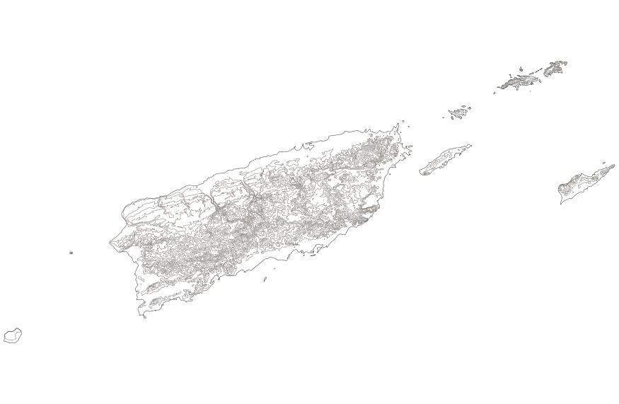
Summary
This map layer shows elevation contour lines for Puerto Rico and the U.S. Virgin Islands. The map layer was derived from the 100-meter resolution elevation data set which is published by the National Atlas of the United States, and is in the same Albers Equal-area Conic projection as that source data set. Contour intervals match the steps used in the National Atlas Color-Sliced Elevation data sets. Contours were adjusted so that they are in the proper relationship to National Atlas 1:1,000,000-scale lakes, reservoirs, and wide (double-line) streams.
These data are intended for geographic display and analysis at the national level, and for large regional areas. The data should be displayed and analyzed at scales appropriate for 1:1,000,000-scale data. No responsibility is assumed by the National Atlas of the United States in the use of these data.