USGS Small-scale Dataset - 1:1,000,000-Scale County Boundary Lines of the United States 201406 Shapefile
Dates
Publication Date
2014-06
Time Period
2014-06
File Modification Date
2016-10-06 17:30:00
Citation
U.S. Geological Survey, 201406, USGS Small-scale Dataset - 1:1,000,000-Scale County Boundary Lines of the United States 201406 Shapefile: U.S. Geological Survey.
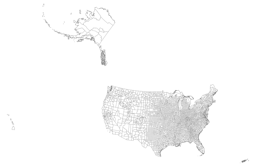
Summary
This map layer portrays the county boundaries of the United States, Puerto Rico, and the U.S. Virgin Islands as linework. The map layer was derived from the 1:1,000,000-Scale County Boundaries of the United States polygon data set by applying the Arc/Info Clean function. The Clean function eliminates the duplicate arcs present in polygon shapefiles, leaving one copy of each line.
These data are intended for geographic display and analysis at the national level, and for large regional areas. The data should be displayed and analyzed at scales appropriate for 1:1,000,000-scale data. No responsibility is assumed by the National Atlas of the United States in the use of these data.