USGS Small-scale Dataset - 1:1,000,000-Scale State Boundaries of the United States 201403 Shapefile
Dates
Publication Date
2014-03
Time Period
2014-03
File Modification Date
2016-10-06 17:30:00
Citation
U.S. Geological Survey, 201403, USGS Small-scale Dataset - 1:1,000,000-Scale State Boundaries of the United States 201403 Shapefile: U.S. Geological Survey.
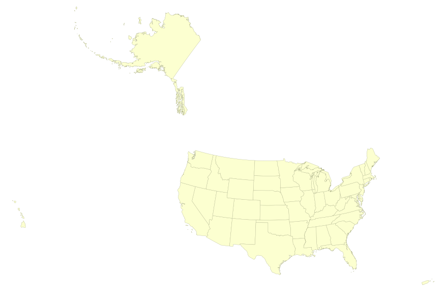
Summary
This map layer portrays the State boundaries of the United States, Puerto Rico, and the U.S. Virgin Islands. The map layer was created by extracting county polygon features from the CENSUS 2006 TIGER/Line files produced by the U.S. Census Bureau. These files were then merged into a single file and county boundaries within States were removed. This is a revised version of the July 2012 map layer.
These data are intended for geographic display and analysis at the national level, and for large regional areas. The data should be displayed and analyzed at scales appropriate for 1:1,000,000-scale data. No responsibility is assumed by the National Atlas of the United States in the use of these data.