USGS Imagery Overlay Map Service from The National Map - National Geospatial Data Asset (NGDA) High Resolution Orthoimagery
Dates
Publication Date
2016
Time Period
2016
File Modification Date
2016-09-26 16:50:00
Citation
U.S. Geological Survey, 2016, USGS Imagery Overlay Map Service from The National Map - National Geospatial Data Asset (NGDA) High Resolution Orthoimagery: USGS - National Geospatial Technical Operations Center (NGTOC).
Summary
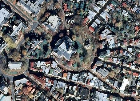
USGS_EROS_Ortho_SCALE service contains orthorectified digital aerial photographs and satellite imagery that are commonly referred to as orthoimagery. The imagery in this service is derived from high resolution images that combine the visual attributes of an aerial photograph with the spatial accuracy and geometric characteristics of a map. The resolution is primarily 1-meter, and the source imagery is acquired through partnerships with U.S. Department of Agriculture’s Farm Service Agency and other cooperating Federal, State, and local agencies. One meter resolution imagery means that each pixel in the orthoimage covers one meter on the earth’s surface. TNM_Large_Scale_Imagery service data is viewed at scales of 1:144,000 and larger [...]
Summary
USGS_EROS_Ortho_SCALE service contains orthorectified digital aerial photographs and satellite imagery that are commonly referred to as orthoimagery. The imagery in this service is derived from high resolution images that combine the visual attributes of an aerial photograph with the spatial accuracy and geometric characteristics of a map. The resolution is primarily 1-meter, and the source imagery is acquired through partnerships with U.S. Department of Agriculture’s Farm Service Agency and other cooperating Federal, State, and local agencies. One meter resolution imagery means that each pixel in the orthoimage covers one meter on the earth’s surface. TNM_Large_Scale_Imagery service data is viewed at scales of 1:144,000 and larger in The National Map Viewer. The National Map also has higher resolution orthoimagery acquired through partnerships with the National Geospatial-Intelligence Agency, and other State and local cooperating agencies. This data may be viewed at scales of 1:13,500 and larger in the National Map Viewer. The resolution of this higher resolution orthoimagery is commonly 1-foot (0.3048-meter), such that each pixel in the orthoimage represents one foot on the earth’s surface. However, this orthoimagery can be an even higher resolution, such as 6-inch (0.1524-meter).
This dynamic overlay map service provides visualization of the free data that is available for download from The National Map at http://viewer.nationalmap.gov.