U.S. Geological Survey, National Geospatial Technical Operations Center, 20220823, USGS Topo Map Vector Data (Vector) 38690 Rotan TX (published 20220823) FileGDB: U.S. Geological Survey.
Summary
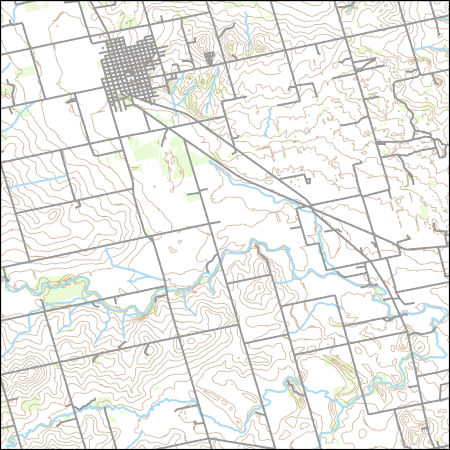
Layers of geospatial data include contours, boundaries, land cover, hydrography, roads, transportation, geographic names, structures, and other selected map features.
Summary
Layers of geospatial data include contours, boundaries, land cover, hydrography, roads, transportation, geographic names, structures, and other selected map features.
This dataset depicts geographic features on the surface of the earth. It is a general purpose dataset for users who are not GIS experts. The geospatial data in this dataset are from selected National Map data holdings and other government sources.