
USGS National Map Index Names (published 20240120) Shapefile

Dates

Publication Date
Start Date
2024-01-20
End Date
2024-01-20
File Modification Date
2024-01-21 00:16:51

Citation

U.S. Geological Survey, National Geospatial Technical Operations Center, 20240120, USGS National Map Index Names (published 20240120) Shapefile: U.S. Geological Survey.

Summary

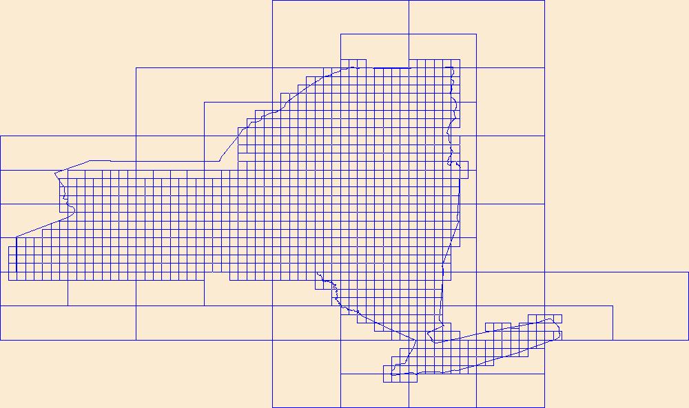
This data represents the map extent for current and historical USGS topographic maps for the United States and Territories, including 1 X 2 Degree, 1 X 1 Degree, 30 X 60 Minute, 15 X 15 Minute, 7.5 X 7.5 Minute, and 3.75 X 3.75 Minute. The grid was generated using ESRI ArcInfo GIS software.

Contacts

Attached Files

Purpose

This dataset depicts delineations of map and product extents. It is general purpose data for users who are not GIS experts.

Additional Information

Identifiers

Type Scheme Key
uuid inventory d3bdc92e-a988-80e0-5dba-bdc747932b50

Item Actions

View Item as ...

Save Item as ...

View Item...