USGS National Landcover - Woodland in Arizona 20210912 State or Territory FileGDB 10.1
Dates
Publication Date
2021-09-12
Start Date
1970-01-01
End Date
2012-01-01
File Modification Date
2021-09-13 00:15:15
Citation
U.S. Geological Survey, National Geospatial Technical Operations Center, 20210912, USGS National Landcover - Woodland in Arizona 20210912 State or Territory FileGDB 10.1: U.S. Geological Survey.
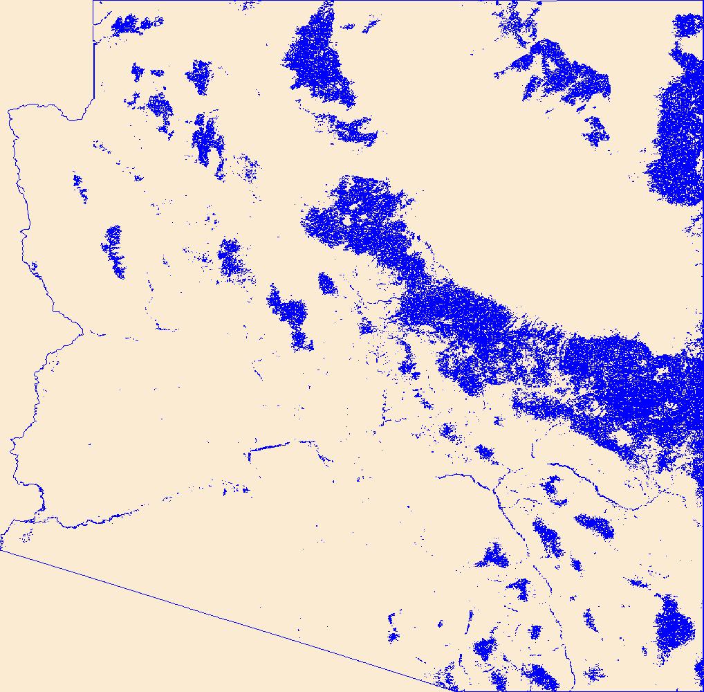
Summary
Geospatial data that is a derivative land cover product depicting woodland on topographic maps.
Summary
Geospatial data that is a derivative land cover product depicting woodland on topographic maps.
This dataset depicts woodland features on the surface of the earth. It is a general purpose dataset for users who are not GIS
experts. The geospatial data in this map are from selected National Map data holdings and other government sources.