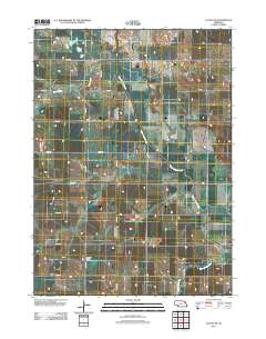
USGS US Topo 7.5-minute map for Altona NE, NE 2011
Dates
Publication Date
2011-10-19
Start Date
1972-01-01
End Date
2011-01-01
Orthoimagery
2009-07-01
File Modification Date
2021-07-10 06:29:16
Citation
U.S. Geological Survey, 20111019, USGS US Topo 7.5-minute map for Altona NE, NE 2011: USGS - National Geospatial Technical Operations Center (NGTOC).
Summary
Layered GeoPDF 7.5 Minute Quadrangle Map. Layers of geospatial data include orthoimagery, roads, grids, geographic names, elevation contours, hydrography, and other selected map features.
Summary
Layered GeoPDF 7.5 Minute Quadrangle Map. Layers of geospatial data include orthoimagery, roads, grids, geographic names, elevation contours, hydrography, and other selected map features.
This map depicts geographic features on the surface of the earth. It is a general purpose map for users who are not GIS experts. One intended purpose is to support emergency response at all levels of government. The geospatial data in this map are from selected National Map data holdings and other government sources.