
Photograph of US Borax Corporation Core Hole TRA-1, Box Number 16, Interval 365.4-391.2 ft, from Piney River/Roseland, Nelson County, VA

Dates

Dataset Reference Date
2021-08-31
Info Date
1978-01-01

Summary

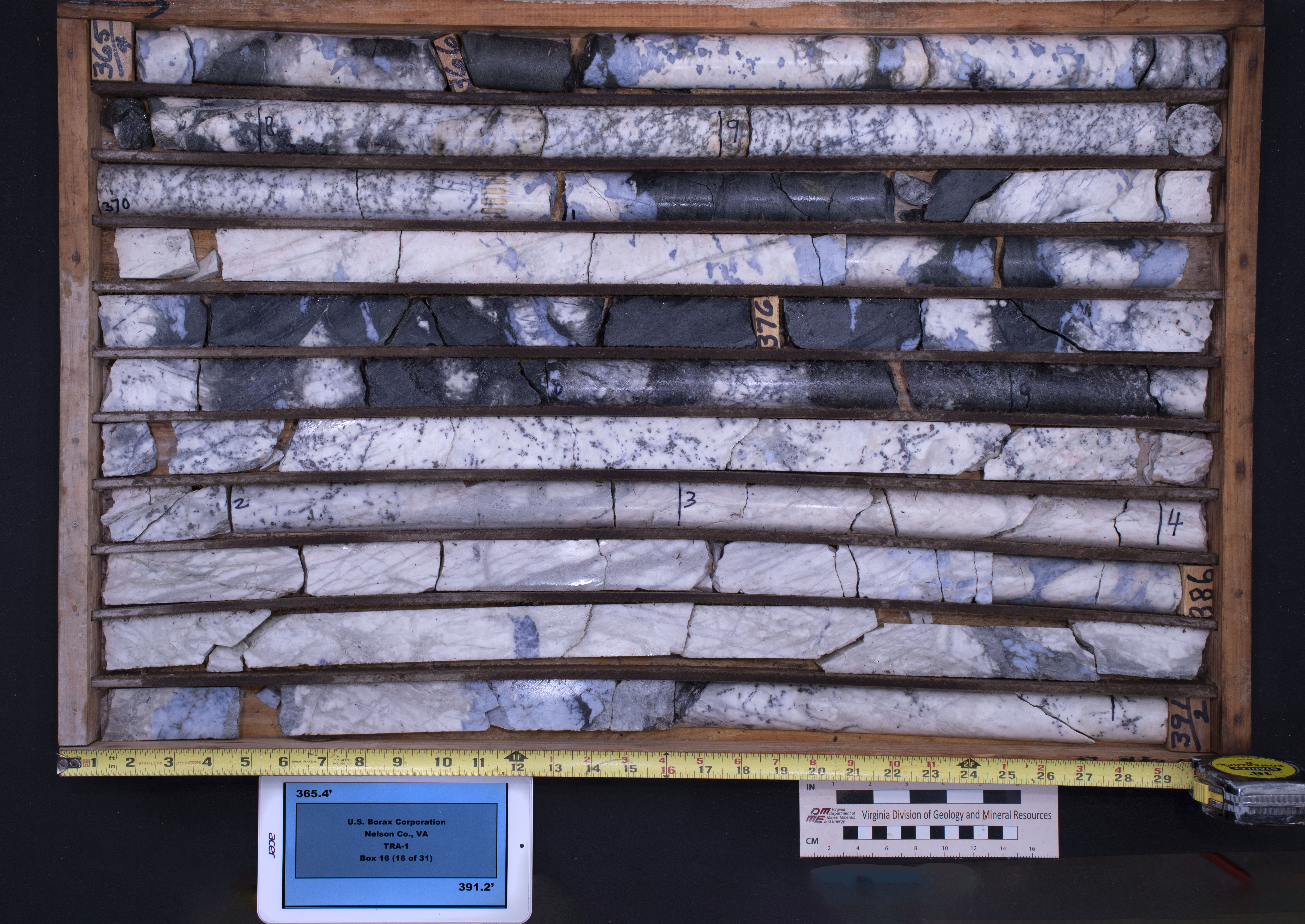
High and low resolution photos, scanned reports, maps, and geologic logs are available for Core Hole TRA-1, Box Number 16, Interval 365.4-391.2 ft, from Piney River/Roseland, Nelson County. The conventional core hole was completed in 1978 by US Borax Corporation. The Vertical hole was drilled from ground surface, TD was 759', bit size was BX,NX. Critical mineral commodities identified in this core hole include Ti(ilmenite, rutile). Geologic logs available? Yes; Chemical analyses available? Unknown; Mineralogic data available? Unknown.

Attached Files

Material Request Instructions

Physical samples are located in the DGMR Core Repository in Charlottesville, VA. Detailed reports are available in PDF format online through the VGIC using the OnlineResource link. JPG scans of images are available using BrowseGraphic Link. TIFF images are available upon request. Contact the Virginia Department of Mines, Minerals and Energy, Division of Geology and Mineral Resources at (434) 951-6341.
Preview Image

Map

Communities

  • ReSciColl Archive

Tags

Categories
Other

Provenance

Data source
File Processing
File Process
Type
NGGDPP
Reference Item
Core Photography (Virginia)
Reference File
CorePhotography2020.csv

Additional Information

Alternate Titles

  • CP_202100052

Identifiers

Type Scheme Key
title Parent-5f46568b82ce4c3d12254af4 Photograph of US Borax Corporation Core Hole TRA-1, Box Number 16, Interval 365.4-391.2 ft, from Piney River/Roseland, Nelson County, VA

NGGDPP Item Extension

alternateGeometryNelson County, Virginia

Item Actions

View Item as ...

Save Item as ...

View Item...