USGS Topo Map Vector Data (Vector) 4579 Bluestem Lake OK GeoPackage
Dates
Publication Date
2022-07-27
Start Date
2022-07-27
End Date
2022-07-27
File Modification Date
2022-07-28 00:17:13
Citation
U.S. Geological Survey, National Geospatial Technical Operations Center, 20220727, USGS Topo Map Vector Data (Vector) 4579 Bluestem Lake OK GeoPackage: U.S. Geological Survey.
Summary
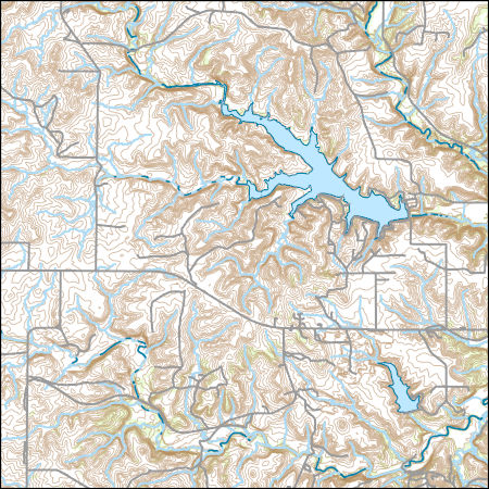
Layers of geospatial data include contours, boundaries, land cover, hydrography, roads, transportation, geographic names, structures, and other selected map features.
Summary
Layers of geospatial data include contours, boundaries, land cover, hydrography, roads, transportation, geographic names, structures, and other selected map features.
This dataset depicts geographic features on the surface of the earth. It is a general purpose dataset for users who are not GIS experts. The geospatial data in this dataset are from selected National Map data holdings and other government sources.