1 meter Digital Elevation Models (DEMs) - USGS National Map 3DEP Downloadable Data Collection
Dates
Publication Date
2023
Start Date
2015
Citation
U.S. Geological Survey, 2023, 1 meter Digital Elevation Models (DEMs) - USGS National Map 3DEP Downloadable Data Collection: U.S. Geological Survey.
Summary
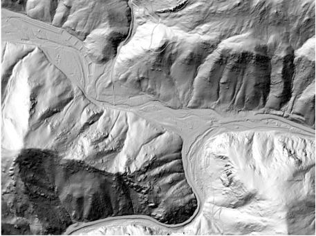
This is a tiled collection of the 3D Elevation Program (3DEP) and is one meter resolution. The 3DEP data holdings serve as the elevation layer of The National Map, and provide foundational elevation information for earth science studies and mapping applications in the United States. Scientists and resource managers use 3DEP data for hydrologic modeling, resource monitoring, mapping and visualization, and many other applications. The elevations in this DEM represent the topographic bare-earth surface. USGS standard one-meter DEMs are produced exclusively from high resolution light detection and ranging (lidar) source data of one-meter or higher resolution. One-meter DEM surfaces are seamless within collection projects, but, not necessarily [...]
Summary
This is a tiled collection of the 3D Elevation Program (3DEP) and is one meter resolution. The 3DEP data holdings serve as the elevation layer of The National Map, and provide foundational elevation information for earth science studies and mapping applications in the United States. Scientists and resource managers use 3DEP data for hydrologic modeling, resource monitoring, mapping and visualization, and many other applications. The elevations in this DEM represent the topographic bare-earth surface. USGS standard one-meter DEMs are produced exclusively from high resolution light detection and ranging (lidar) source data of one-meter or higher resolution. One-meter DEM surfaces are seamless within collection projects, but, not necessarily seamless across projects. The spatial reference used for tiles of the one-meter DEM within the conterminous United States (CONUS) is Universal Transverse Mercator (UTM) in units of meters, and in conformance with the North American Datum of 1983 (NAD83). All bare earth elevation values are in meters and are referenced to the North American Vertical Datum of 1988 (NAVD88). Each tile is distributed in the UTM Zone in which it lies. If a tile crosses two UTM zones, it is delivered in both zones. The one-meter DEM is the highest resolution standard DEM offered in the 3DEP product suite. Other 3DEP products are nationally seamless DEMs in resolutions of 1/3, 1, and 2 arc seconds. These seamless DEMs were referred to as the National Elevation Dataset (NED) from about 2000 through 2015 at which time they became the seamless DEM layers under the 3DEP program and the NED name and system were retired. Other 3DEP products include five-meter DEMs in Alaska as well as various source datasets including the lidar point cloud and interferometric synthetic aperture radar (Ifsar) digital surface models and intensity images. All 3DEP products are public domain.
This data serves as the elevation layer of The National Map, and provides basic elevation information for earth science studies and mapping applications in the United States. The data are utilized by the scientific and resource management communities for global change research, hydrologic modeling, resource monitoring, mapping and visualization, and many other applications.