Filters: Types: Citation (X) > Date Range: {"choice":"year"} (X)
22,371 results (89ms)|
Filters
Date Types (for Date Range)
Types (Less)
Contacts (Less)
Categories (Less)
Tag Types
|
The Yukon North Slope is an arctic “hot spot” of climate change-induced effects with profound significance for the Inuvialuit and the larger region. In 1984, the Inuvialuit entered into a land claim agreement – the Inuvialuit Final Agreement (IFA) – with the governments of Canada, Yukon and Northwest Territories. A co-management body formed to make a plan, which was developed in 2003 but never ratified and is now considered out-of-date. Round River Conservation Studies is assisting WMAC(NS) in the collection, development and synthesis of spatial data, models and analyses of cultural and ecological values of the YNS.The project is a collaboration among the NWB LCC, Round River Conservation Studies, and the Arctic...
Categories: Data,
Project,
Publication;
Types: Citation,
Map Service,
OGC WFS Layer,
OGC WMS Layer,
OGC WMS Service;
Tags: Academics & scientific researchers,
CONSERVATION,
CONSERVATION,
CONSERVATION,
CONSERVATION,
The purpose of this volume is to create a resource for regional land and resource managers and researchers by synthesizing the latest research on the 1) historical/current status of landscape-scale drivers and ecosystem processes, including anthropogenic activities, 2) future projected changes of each, and 3) the impacts of changes on important resources. The individual sections can be informative alone, but when combined we can see a holistic picture of the drivers of landscape change in our region. The sections are short but contain a wealth of information and resources for more in-depth knowledge, and they highlight key findings and key information gaps so the most important information is easy to find and digest....
Categories: Data,
Publication;
Types: Citation;
Tags: Academics & scientific researchers,
CLIMATE INDICATORS,
CLIMATE INDICATORS,
Conservation NGOs,
ENVIRONMENTAL GOVERNANCE/MANAGEMENT,
Climate change remains a primary threat to inland fishes and fisheries. Using topic modeling to examine trends and relationships across 36 years of scientific literature on documented and projected climate impacts to inland fish, we identify ten representative topics within this body of literature: assemblages, climate scenarios, distribution, climate drivers, population growth, invasive species, populations, phenology, physiology, and reproduction. These topics are largely similar to the output from artificial intelligence application (i.e., ChatGPT) search prompts, but with some key differences. The field of climate impacts on fish has seen dramatic growth since the mid-2000s with increasing popularity of topics...
Categories: Publication;
Types: Citation
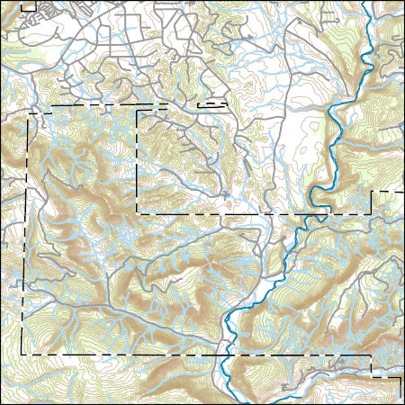
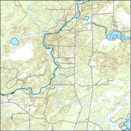
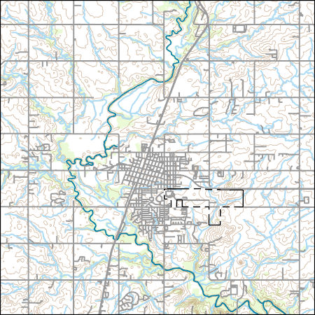
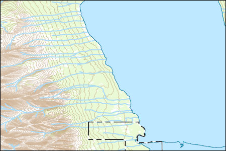
Layers of geospatial data include contours, boundaries, land cover, hydrography, roads, transportation, geographic names, structures, and other selected map features.
Layers of geospatial data include contours, boundaries, land cover, hydrography, roads, transportation, geographic names, structures, and other selected map features.
Layers of geospatial data include contours, boundaries, land cover, hydrography, roads, transportation, geographic names, structures, and other selected map features.
Types: Citation;
Tags: 7.5 x 7.5 minute,
7_5_Min,
Combined Vector,
Combined Vector,
Combined Vector,
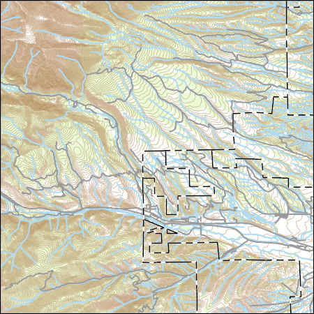
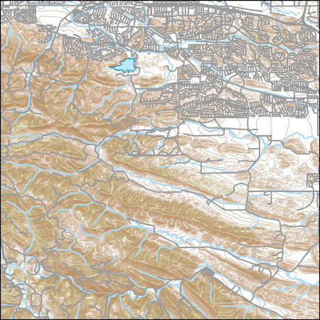
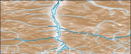
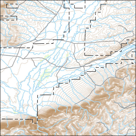
Layers of geospatial data include contours, boundaries, land cover, hydrography, roads, transportation, geographic names, structures, and other selected map features.
Types: Citation;
Tags: 7.5 x 7.5 minute,
7_5_Min,
Combined Vector,
Combined Vector,
Combined Vector,
Layers of geospatial data include contours, boundaries, land cover, hydrography, roads, transportation, geographic names, structures, and other selected map features.
Types: Citation;
Tags: 7.5 x 7.5 minute,
7_5_Min,
Combined Vector,
Combined Vector,
Combined Vector,
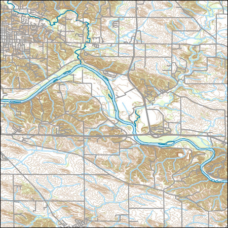
Layers of geospatial data include contours, boundaries, land cover, hydrography, roads, transportation, geographic names, structures, and other selected map features.
The capacity of ecosystems to provide services such as carbon storage, clean water, and forest products is determined not only by variations in ecosystem properties across landscapes, but also by ecosystem dynamics over time. ForWarn is a system developed by the U.S. Forest Service to monitor vegetation change using satellite imagery for the continental United States. It provides near real-time change maps that are updated every eight days, and summaries of these data also provide long-term change maps from 2000 to the present. Based on the detection of change in vegetation productivity, the ForWarn system monitors the effects of disturbances such as wildfires, insects, diseases, drought, and other effects of weather,...
Categories: Data;
Types: ArcGIS REST Map Service,
ArcGIS Service Definition,
Citation,
Downloadable,
Map Service;
Tags: Academics & scientific researchers,
AppLCC,
Appalachian,
Conservation NGOs,
Data,
WaSSI (Water Supply Stress Index) predicts how climate, land cover, and human population change may impact water availability and carbon sequestration at the watershed level (about the size of a county) across the lower 48 United States. WaSSI users can select and adjust temperature, precipitation, land cover, and water use factors to simulate change scenarios for any timeframe from 1961 through the year 2100. Simulation results are available as downloadable maps, graphs, and data files that users can apply to their unique information and project needs. WaSSI generates useful information for natural resource planners and managers who must make informed decisions about water supplies and related ecosystem services...
Categories: Data;
Types: ArcGIS REST Map Service,
ArcGIS Service Definition,
Citation,
Downloadable,
Map Service;
Tags: Academics & scientific researchers,
AppLCC,
AppLCC,
Appalachian,
Conservation NGOs,
Layers of geospatial data include contours, boundaries, land cover, hydrography, roads, transportation, geographic names, structures, and other selected map features.
Types: Citation;
Tags: 7.5 x 7.5 minute,
7_5_Min,
Combined Vector,
Combined Vector,
Combined Vector,
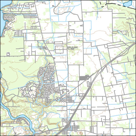
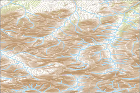
Layers of geospatial data include contours, boundaries, land cover, hydrography, roads, transportation, geographic names, structures, and other selected map features.
Layers of geospatial data include contours, boundaries, land cover, hydrography, roads, transportation, geographic names, structures, and other selected map features.
Types: Citation;
Tags: 7.5 x 7.5 minute,
7_5_Min,
Combined Vector,
Combined Vector,
Combined Vector,
USGS Topo Map Vector Data (Vector) 334407 Demarcation Point A-3 NW AK (published 20240104) Shapefile
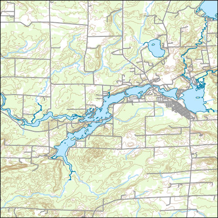
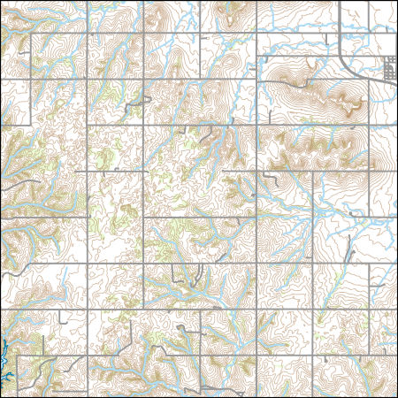
Layers of geospatial data include contours, boundaries, land cover, hydrography, roads, transportation, geographic names, structures, and other selected map features.
Layers of geospatial data include contours, boundaries, land cover, hydrography, roads, transportation, geographic names, structures, and other selected map features.
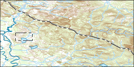
Layers of geospatial data include contours, boundaries, land cover, hydrography, roads, transportation, geographic names, structures, and other selected map features.
Layers of geospatial data include contours, boundaries, land cover, hydrography, roads, transportation, geographic names, structures, and other selected map features.
Layers of geospatial data include contours, boundaries, land cover, hydrography, roads, transportation, geographic names, structures, and other selected map features.
Types: Citation;
Tags: 7.5 x 7.5 minute,
7_5_Min,
Combined Vector,
Combined Vector,
Combined Vector,
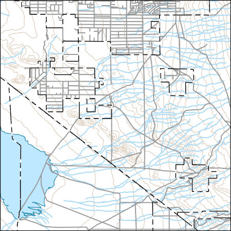
Layers of geospatial data include contours, boundaries, land cover, hydrography, roads, transportation, geographic names, structures, and other selected map features.
|

|
