Filters: Types: Citation (X) > Tags: {"scheme":"The National Map Product Format Thesaurus","name":"geopdf"} (X)
291 results (80ms)|
Filters
Date Range
Contacts
Tag Types Tags (with Scheme=The National Map Product Format Thesaurus) |
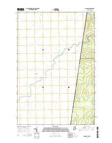
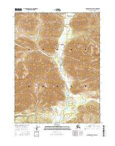
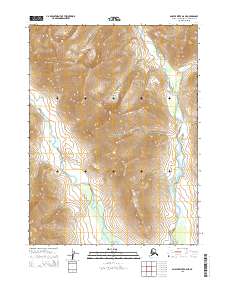
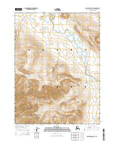
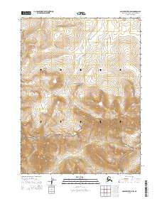
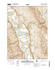
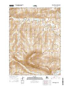
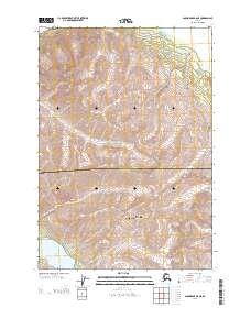
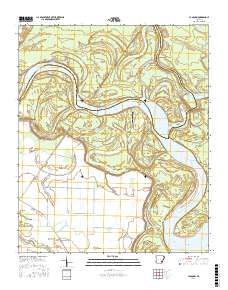
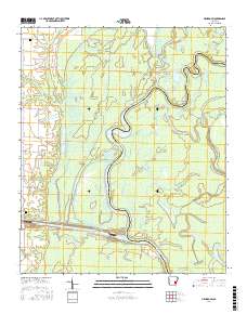
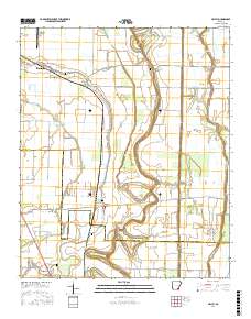
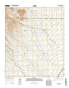
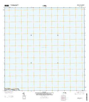
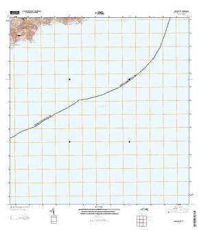
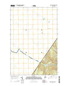
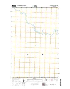
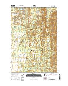
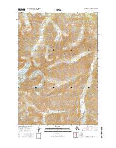
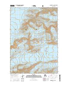
Layered GeoPDF 7.5 Minute Quadrangle Map. Layers of geospatial data include orthoimagery, roads, grids, geographic names, elevation contours, hydrography, and other selected map features.
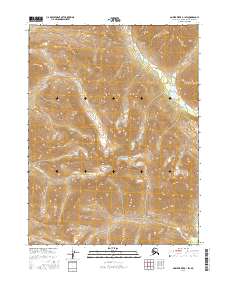
Layered geospatial PDF Map. Layers of geospatial data include orthoimagery, roads, grids, geographic names, elevation contours, hydrography, and other selected map features.
Types: Citation;
Tags: 7.5 x 7.5 minute,
Alaska,
Ambler River B-1 SW, AK,
Downloadable Data,
EarthCover,
Layered geospatial PDF Map. Layers of geospatial data include orthoimagery, roads, grids, geographic names, elevation contours, hydrography, and other selected map features.
Types: Citation;
Tags: 7.5 x 7.5 minute,
Alaska,
Ambler River B-2 NW, AK,
Downloadable Data,
EarthCover,
Layered GeoPDF Quadrangle Map. Layers of geospatial data include orthoimagery, roads, grids, geographic names, elevation contours, hydrography, and other selected map features.
Types: Citation;
Tags: 7.5 x 7.5 minute,
Alaska,
Ambler River B-6 NE, AK,
Downloadable Data,
EarthCover,
Layered GeoPDF Quadrangle Map. Layers of geospatial data include orthoimagery, roads, grids, geographic names, elevation contours, hydrography, and other selected map features.
Types: Citation;
Tags: 7.5 x 7.5 minute,
Alaska,
Ambler River C-4 SW, AK,
Downloadable Data,
EarthCover,
Layered GeoPDF Quadrangle Map. Layers of geospatial data include orthoimagery, roads, grids, geographic names, elevation contours, hydrography, and other selected map features.
Types: Citation;
Tags: 7.5 x 7.5 minute,
Alaska,
Ambler River C-5 SW, AK,
Downloadable Data,
EarthCover,
Layered GeoPDF Quadrangle Map. Layers of geospatial data include orthoimagery, roads, grids, geographic names, elevation contours, hydrography, and other selected map features.
Types: Citation;
Tags: 7.5 x 7.5 minute,
Alaska,
Ambler River D-5 NW, AK,
Downloadable Data,
EarthCover,
Layered GeoPDF Quadrangle Map. Layers of geospatial data include orthoimagery, roads, grids, geographic names, elevation contours, hydrography, and other selected map features.
Types: Citation;
Tags: 7.5 x 7.5 minute,
Alaska,
Ambler River D-6 SE, AK,
Downloadable Data,
EarthCover,
Layered GeoPDF Quadrangle Map. Layers of geospatial data include orthoimagery, roads, grids, geographic names, elevation contours, hydrography, and other selected map features.
Types: Citation;
Tags: 7.5 x 7.5 minute,
Alaska,
Anchorage,
Anchorage B-6 NE, AK,
Downloadable Data,
Layered geospatial PDF Map. Layers of geospatial data include orthoimagery, roads, grids, geographic names, elevation contours, hydrography, and other selected map features.
Layered geospatial PDF Map. Layers of geospatial data include orthoimagery, roads, grids, geographic names, elevation contours, hydrography, and other selected map features.
Layered geospatial PDF Map. Layers of geospatial data include orthoimagery, roads, grids, geographic names, elevation contours, hydrography, and other selected map features.
Layered GeoPDF 7.5 Minute Quadrangle Map. Layers of geospatial data include orthoimagery, roads, grids, geographic names, elevation contours, hydrography, and other selected map features.
Layered GeoPDF Quadrangle Map. Layers of geospatial data include orthoimagery, roads, grids, geographic names, elevation contours, hydrography, and other selected map features.
Layered GeoPDF Quadrangle Map. Layers of geospatial data include orthoimagery, roads, grids, geographic names, elevation contours, hydrography, and other selected map features.
Layered GeoPDF 7.5 Minute Quadrangle Map. Layers of geospatial data include orthoimagery, roads, grids, geographic names, elevation contours, hydrography, and other selected map features.
Layered GeoPDF 7.5 Minute Quadrangle Map. Layers of geospatial data include orthoimagery, roads, grids, geographic names, elevation contours, hydrography, and other selected map features.
Types: Citation;
Tags: 7.5 x 7.5 minute,
Downloadable Data,
EarthCover,
GeoPDF,
Imagery and Base Maps,
Layered geospatial PDF Map. Layers of geospatial data include orthoimagery, roads, grids, geographic names, elevation contours, hydrography, and other selected map features.
Types: Citation;
Tags: 7.5 x 7.5 minute,
Alaska,
Anchorage D-8 NW, AK,
Downloadable Data,
EarthCover,
Layered geospatial PDF Map. Layers of geospatial data include orthoimagery, roads, grids, geographic names, elevation contours, hydrography, and other selected map features.
Types: Citation;
Tags: 7.5 x 7.5 minute,
Alaska,
Anchorage C-3 NW, AK,
Downloadable Data,
EarthCover,
Layered geospatial PDF Map. Layers of geospatial data include orthoimagery, roads, grids, geographic names, elevation contours, hydrography, and other selected map features.
Types: Citation;
Tags: 7.5 x 7.5 minute,
Alaska,
Anchorage B-1 SE, AK,
Downloadable Data,
EarthCover,
|

|
