Filters: Tags: {"scheme":"The National Map Product Extent Thesaurus","name":"contiguous us"} (X)
1 result (30ms)|
Filters
Date Range
Types (Less) Contacts (Less)
Tag Types Tags (with Scheme=The National Map Product Extent Thesaurus) |
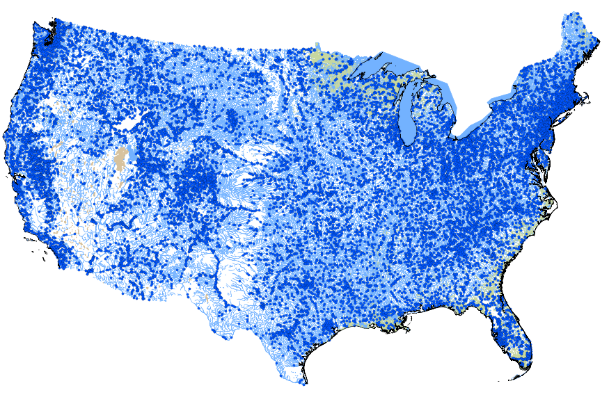
This geodatabase contains streams, waterbodies and wetlands, streamflow gaging stations, and coastlines for the conterminous United States. The streams are incorporated into a geometric network. All feature classes are vertically integrated with each other and with 1:1,000,000-scale transportation and boundary data sets.
|

|
