Filters: Tags: 10,000 meter DEM (X) > Types: Citation (X) > partyWithName: U.S. Geological Survey (X)
1 result (8ms)|
Filters
|
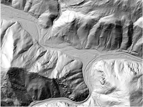
This is a tiled collection of the 3D Elevation Program (3DEP) and is one meter resolution. The 3DEP data holdings serve as the elevation layer of The National Map, and provide foundational elevation information for earth science studies and mapping applications in the United States. Scientists and resource managers use 3DEP data for hydrologic modeling, resource monitoring, mapping and visualization, and many other applications. The elevations in this DEM represent the topographic bare-earth surface. USGS standard one-meter DEMs are produced exclusively from high resolution light detection and ranging (lidar) source data of one-meter or higher resolution. One-meter DEM surfaces are seamless within collection projects,...
|

|
