Filters: Tags: Alberta (X)
288 results (31ms)|
Filters
Date Range
Extensions
Types Contacts
Categories Tag Types
|
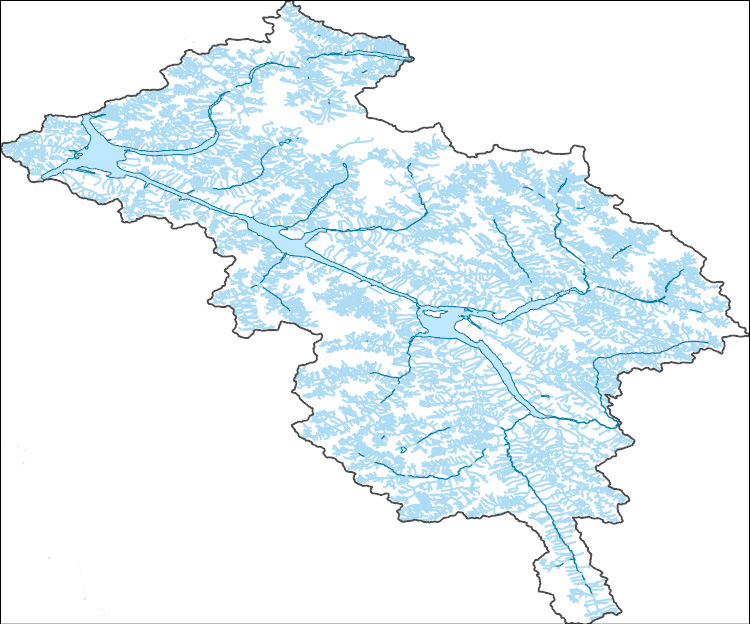
This layer has been updated in 2016 This shapefile represents the watersheds present within the Crown of the Continent Ecosystem (CCE) boundary.(Note: a different CCE boundary layer was used at the time of creation, so the area amounts within the CCE may not be accurate)This dataset was developed by the Crown Managers Partnership, as part of a transboundary collaborative management initiative for the Crown of the Continent Ecosystem, based on commonly identified management priorities that are relevant at the landscape scale. The CMP is collaborative group of land managers, scientists, and stakeholder in the CCE. For more information on the CMP and its collaborators, programs, and projects please visit: http://crownmanagers.org/
Categories: Data;
Types: Citation,
Downloadable,
Map Service,
OGC WFS Layer,
OGC WMS Layer,
Shapefile;
Tags: Alberta,
British Columbia,
CCE,
CMP,
Crown Manager's Partnership,
This dataset contains a seamless 1:1,000,000 scale British Columbia, Alberta and Montana lakes layer.
Categories: Data;
Types: Downloadable,
Map Service,
OGC WFS Layer,
OGC WMS Layer,
Shapefile;
Tags: 1:1 000 000,
1:1 000 000,
Alberta,
Alberta,
British Columbia,
Climate change over the past century has altered vegetation community composition and species distributions across rangelands in the western United States. The scale and magnitude of climatic influences are largely unknown. We used fractional component cover data for rangeland functional groups and weather data from the 1985 to 2023 reference period in conjunction with soils and topography data to develop empirical models describing the spatio-temporal variation in component cover. To investigate the ramifications of future change across the western US, we extended models based on historical relationships over the reference period to model landscape effects based on future weather conditions from two emissions scenarios...
Wildlife species face threats from climate and land use change, which may exacerbate how extreme climatic events influence population persistence and biodiversity. Migratory waterbirds are especially vulnerable to hydrological drought via reduced availability of surface water habitats. We assessed how whooping cranes, an endangered species in the U.S. and Canada, modified habitat use and migration strategies during drought to understand this species’ resilience to changing conditions and adaptive capacity. The data included 8,555 night-roost sites used by 145 cranes, 2010–2022, under non-drought conditions, moderate drought, and extreme drought conditions.
Conclusions:The Sprague's pipit tends to occupy native grassland habitats containing very little or no woody vegetation, with non-native areas populated to a significantly lower extentThresholds/Learnings:
Categories: Publication;
Types: Citation;
Tags: Alberta,
Natural cover amount,
birds,
grassland extent,
habitat suitability,
Synopsis: The purpose of this model is to indicate potential habitat for olive-backed pocket mice (Perohnathus fasciatus) within the Milk River Basin. As this is a landscape level model with course variaqbles, it may not be directly applicable to other areas for site-specific analysis. Conclusions: Olive-backed pocket mice require high proportions of grassland habitat and low proportions of shrub cover. Sites with low densities of shrubs are preferred because they provide cover from large and aerial predators, such as owls. A threshold of below 40% shrub coverage represents ideal shrub cover proportions.
Categories: Publication;
Types: Citation,
Map Service,
OGC WFS Layer,
OGC WMS Layer,
OGC WMS Service;
Tags: Alberta,
Natural cover amount,
habitat suitability,
pocket mice,
prairie,
This time-enabled map service depicts the infestation of the mountain pine beetle within Banff, Kootenay and Yoho National Parks between 1999 and 2007. It also contains reference boundaries for the parks, areas susceptible to the mountain pine beetle and areas of lodgepole pine.
Categories: Data;
Types: ArcGIS REST Map Service,
Map Service;
Tags: Alberta,
British Columbia,
Canada,
ESRI Canada,
Education,
Synopsis: Prior to European settlement, the Northern Mixed-grass Prairie was a mosaic of wetland, grassland and grass-shrub habitats, with riparian and floodplain forests along major drainages. Even today, the physiographic area can be characterized as being one of the largest still relatively intact grassland landscapes that persist in North America. It is the continent’s most important production area for waterfowl and is the heart of the breeding range for some of North America’s rarest species of grassland birds. A comparison of relative abundance estimates among physiographic areas sampled by the North American Breeding Bird Survey indicates that more than 40% of the world’s population of Baird’s Sparrows,...
Categories: Publication;
Types: Citation,
Map Service,
OGC WFS Layer,
OGC WMS Layer,
OGC WMS Service;
Tags: Alberta,
Landscape fragmentation,
Montana,
Natural cover amount,
Natural cover heterogeneity,
The National Hydrography Dataset (NHD) is a feature-based database that interconnects and uniquely identifies the stream segments or reaches that make up the nation's surface water drainage system. NHD data was originally developed at 1:100,000-scale and exists at that scale for the whole country. This high-resolution NHD, generally developed at 1:24,000/1:12,000 scale, adds detail to the original 1:100,000-scale NHD. (Data for Alaska, Puerto Rico and the Virgin Islands was developed at high-resolution, not 1:100,000 scale.) Local resolution NHD is being developed where partners and data exist. The NHD contains reach codes for networked features, flow direction, names, and centerline representations for areal water...
These data were compiled using a new multivariate matching algorithm that transfers simulated soil moisture conditions (Bradford et al. 2020) from an original 10-km resolution to a 30-arcsec spatial resolution. Also, these data are a supplement to a previously published journal article (Bradford et al., 2020) and USGS data release (Bradford and Schlaepfer, 2020). The objectives of our study were to (1) characterize geographic patterns in ecological drought under historical climate, (2) quantify the direction and magnitude of projected responses in ecological drought under climate change, (3) identify areas and drought metrics with projected changes that are robust across climate models for a representative set of...
This map was developed to examine multi-scale spatial relationships between percentage of sagebrush and other response variables of interest. A map of sagebrush in the western United States was used as a base layer for a moving window analysis to calculate the percentage of the area classified as sagebrush within a 50-km search radius.
This data set contains imagery from the National Agriculture Imagery Program (NAIP). The NAIP program is administered by USDA FSA and has been established to support two main FSA strategic goals centered on agricultural production. These are increase stewardship of America's natural resources while enhancing the environment, and to ensure commodities are procured and distributed effectively and efficiently to increase food security. The NAIP program supports these goals by acquiring and providing ortho imagery that has been collected during the agricultural growing season in the U.S. The NAIP ortho imagery is tailored to meet FSA requirements and is a fundamental tool used to support FSA farm and conservation programs....
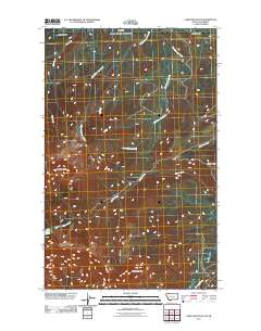
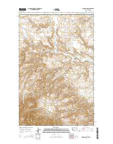
Layered GeoPDF 7.5 Minute Quadrangle Map. Layers of geospatial data include orthoimagery, roads, grids, geographic names, elevation contours, hydrography, and other selected map features.
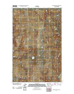
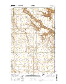
Layered GeoPDF 7.5 Minute Quadrangle Map. Layers of geospatial data include orthoimagery, roads, grids, geographic names, elevation contours, hydrography, and other selected map features.
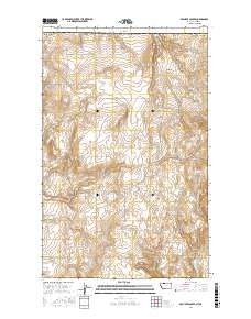
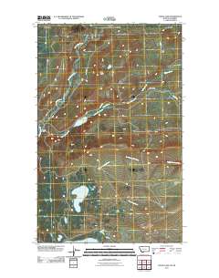
Layered geospatial PDF Map. Layers of geospatial data include orthoimagery, roads, grids, geographic names, elevation contours, hydrography, and other selected map features.
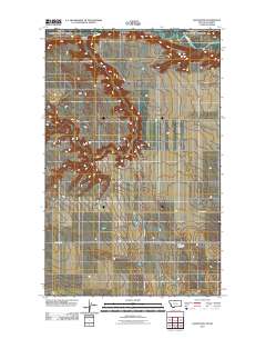
Layered GeoPDF 7.5 Minute Quadrangle Map. Layers of geospatial data include orthoimagery, roads, grids, geographic names, elevation contours, hydrography, and other selected map features.
Layered geospatial PDF Map. Layers of geospatial data include orthoimagery, roads, grids, geographic names, elevation contours, hydrography, and other selected map features.
Overview This directory was developed to provide discovery information for anyone looking for publicly accessible repositories that house geological materials in the U.S. and Canada. In addition, this resource is intended to be a tool to facilitate a community of practice. The need for the directory was identified during planning for and follow-up from a drill core repository webinar series in Spring 2020 for public repository curators and staff in the U.S. and Canada hosted by the Minnesota Geological Survey and the Minnesota Department of Natural Resources. Additional supporting sponsors included the U.S. Geological Survey National Geological and Geophysical Data Preservation Program and the Association of American...
Categories: Data;
Types: Downloadable,
Map Service,
OGC WFS Layer,
OGC WMS Layer,
Shapefile;
Tags: Alabama,
Alaska,
Alberta,
Arkansas,
British Columbia,
Layered GeoPDF 7.5 Minute Quadrangle Map. Layers of geospatial data include orthoimagery, roads, grids, geographic names, elevation contours, hydrography, and other selected map features.
Layered GeoPDF 7.5 Minute Quadrangle Map. Layers of geospatial data include orthoimagery, roads, grids, geographic names, elevation contours, hydrography, and other selected map features.
|

|
