Filters: Tags: Arizona (X)
30,049 results (55ms)|
Filters
Date Range
Extensions Types
Contacts
Categories Tag Types
|
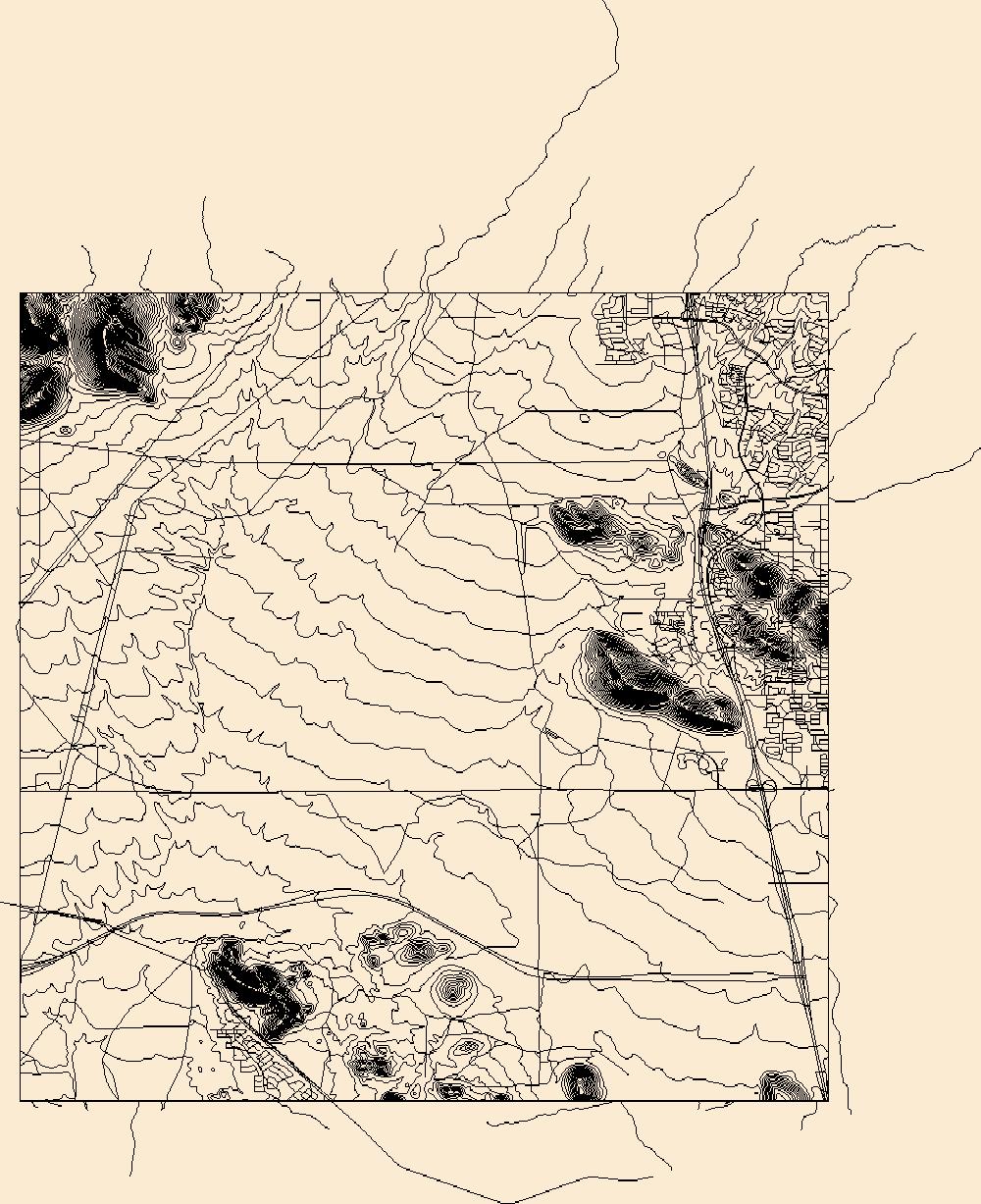
Layers of geospatial data include contours, boundaries, land cover, hydrography, roads, transportation, geographic names, structures, and other selected map features.
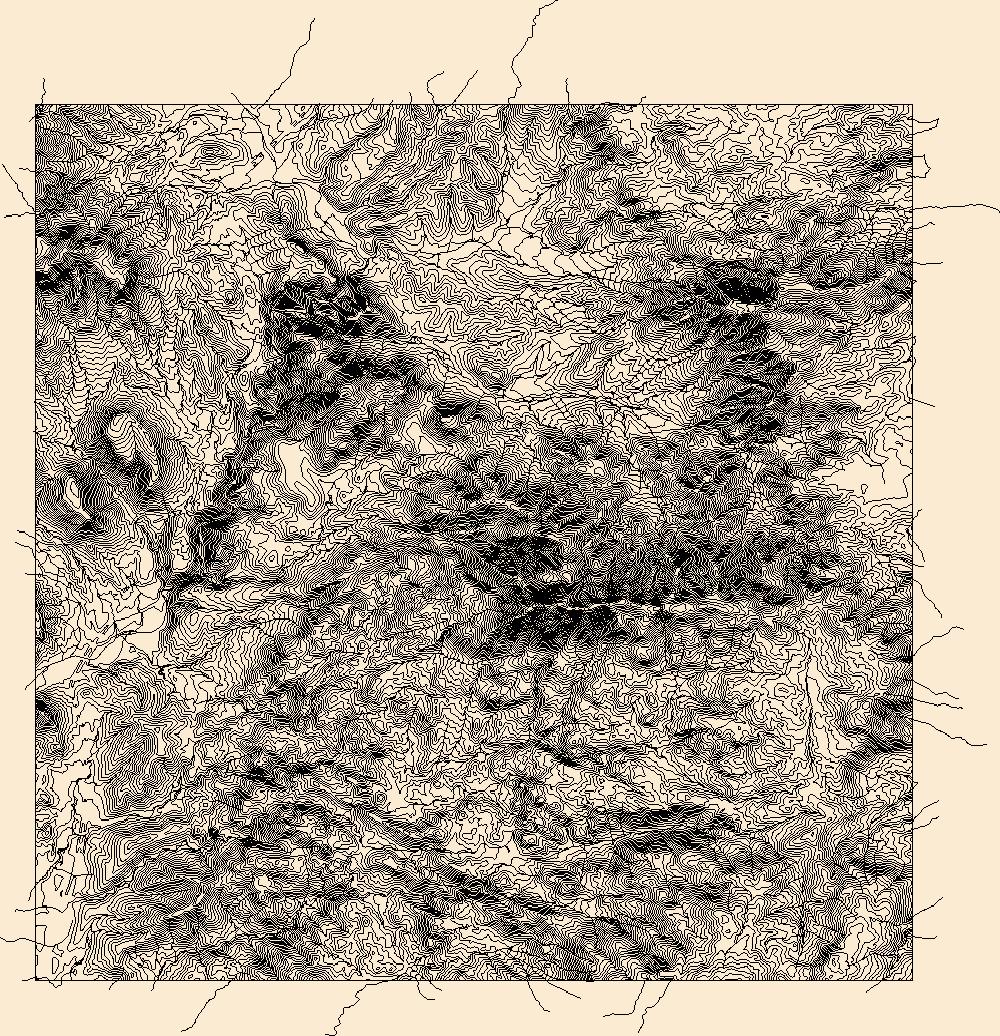
Layers of geospatial data include contours, boundaries, land cover, hydrography, roads, transportation, geographic names, structures, and other selected map features.
View east toward flood-damaged travertine pools below Havasu Falls, Havasu Creek, Cataract Canyon.
View north toward basalt dike (photograph EI10) in Hakatai Shale, Unkar Group, on north side of river mile 77.2, at beginning of Hance Rapids. Shinumo Sandstone forms cliff at upper edge of photograph.
Four men at the base of a headframe at the Goldfield mine.
Two adits at the Rock House Group.
Gold, or possibly iron staining, showing in quartz at an unidentified mine near the superstition Mountians.
Three people standing by the remains of the Rio Vista mill.
Categories: Data;
Tags: 1990s,
Arizona,
Black Peak - 15 Min,
Cienega metallic mineral dist.,
Copper Top,
Dumps of the Foy Group.
Categories: Data;
Tags: 1940s,
Arizona,
Bradshaw Mts. physiographic area,
Columbia - 7.5 Min,
Dataset,
The 1950s-era mill at the Turning Point mine.
A collage of photographs of the mill and lab showing views of the cyanide tanks.
Categories: Data;
Tags: 1980s,
Acm Corp Mill,
Aguila - 15 Min,
Aguila Copper Reduction Plt.,
Aguila Valley physiographic area,
A Phelps Dodge locamotive at the Morenci mine.
An adit at the Octave mine with a wooden and stone entrance and two sets of rail tracks.
A portal is out of sight on the left; a pack is on the ground in front of it.
Categories: Data;
Tags: 1980s,
Arizona,
Copper Basin metallic mineral dist.,
Dataset,
Iron Springs - 7.5 Min,
This location is part of the Arizona Mineral Industry Location System (AzMILS), an inventory of mineral occurences, prospects and mine locations in Arizona. LaPaz43 is located in T7N R13W Sec 11 SE in the Salome - 15 Min quad. This collection consists of various reports, maps, records and related materials acquired by the Arizona Department of Mines and Mineral Resources regarding mining properties in Arizona. Information was obtained by various means, including the property owners, exploration companies, consultants, verbal interviews, field visits, newspapers and publications. Some sections may be redacted for copyright. Please see the access statement.
Heinrichs Geoexploration Co. Maps: Chloride Project Geochemical Location Plan - Zinc; 1 in. to 500 feet; 19 x 22 in.
In 2011 through 2013, when nests were found, notes were kept on whether it held eggs or hatchlings at the time of discovery, and how it was found. Ammodramus savannarum ammolegus (commonly referred to as the Arizona Grasshopper Sparrow) occurs in the desert and plains grasslands of southeastern Arizona, southwestern New Mexico, and northern Sonora, Mexico. Although a subspecies of conservation concern, this data was produced as part of the first intensive study of its life history and breeding ecology, providing baseline data and facilitating comparisons with other North American Grasshopper Sparrow subspecies. This study is described in the publication listed in the larger work citation of this metadata record.
This location is part of the Arizona Mineral Industry Location System (AzMILS), an inventory of mineral occurences, prospects and mine locations in Arizona. Pima1165 is located in T12S R9E Sec 11 SE in the Silver Bell East - 7.5 Min quad. This collection consists of various reports, maps, records and related materials acquired by the Arizona Department of Mines and Mineral Resources regarding mining properties in Arizona. Information was obtained by various means, including the property owners, exploration companies, consultants, verbal interviews, field visits, newspapers and publications. Some sections may be redacted for copyright. Please see the access statement.
This location is part of the Arizona Mineral Industry Location System (AzMILS), an inventory of mineral occurences, prospects and mine locations in Arizona. Coconino41 is located in T21N R2E Sec 16 NE in the Bill Williams Mtn - 15 Min quad. This collection consists of various reports, maps, records and related materials acquired by the Arizona Department of Mines and Mineral Resources regarding mining properties in Arizona. Information was obtained by various means, including the property owners, exploration companies, consultants, verbal interviews, field visits, newspapers and publications. Some sections may be redacted for copyright. Please see the access statement.
|

|
