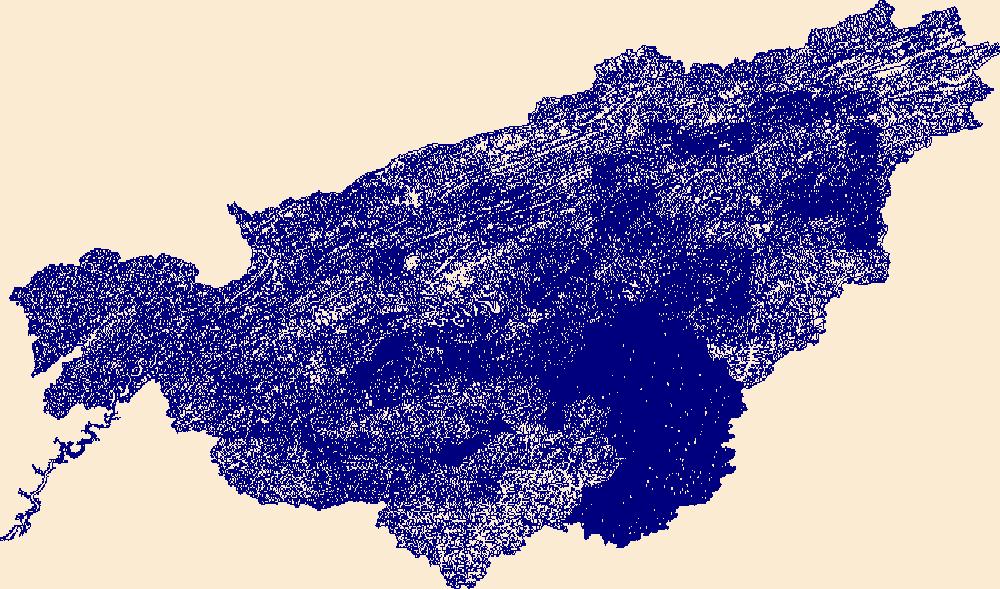
Filters: Tags: Buncombe County (X) > Date Range: {"choice":"year"} (X)
7 results (9ms)|
Filters
Date Types (for Date Range)
Tag Types Tag Schemes |

The High Resolution National Hydrography Dataset Plus (NHDPlus HR) is an integrated set of geospatial data layers, including the best available National Hydrography Dataset (NHD), the 10-meter 3D Elevation Program Digital Elevation Model (3DEP DEM), and the National Watershed Boundary Dataset (WBD). The NHDPlus HR combines the NHD, 3DEP DEMs, and WBD to create a stream network with linear referencing, feature naming, "value added attributes" (VAAs), elevation-derived catchments, and other features for hydrologic data analysis. The stream network with linear referencing is a system of data relationships applied to hydrographic systems so that one stream reach "flows" into another and "events" can be tied to and traced...
In January 2020, the North Carolina Department of Transportation (NCDOT) began work on the Interstate 26 (I 26) highway widening project that involves a bridge crossing over the French Broad River (FBR) near Asheville, North Carolina. The U.S Geological Survey (USGS) in cooperation with the NCDOT conducted a pre-construction bathymetric survey of the streambed in June 2019 (Whaling and Wagner, 2021) within a one-kilometer reach of the FBR at the bridge construction site. A canoe-based repeat bathymetric survey was collected with a single-beam echosounder approximately 18 months after construction began, with the purpose to monitor geomorphological changes to the streambed and inform the NCDOT of potential impacts...
In January 2020, the North Carolina Department of Transportation (NCDOT) began work on the Interstate 26 (I 26) highway widening project that involves a bridge crossing over the French Broad River (FBR) near Asheville, North Carolina. The U.S Geological Survey (USGS) in cooperation with the NCDOT conducted a pre-construction bathymetric survey of the streambed in June 2019 (Whaling and Wagner, 2021) within a one-kilometer reach of the FBR at the bridge construction site. A canoe-based repeat bathymetric survey was collected with a single-beam echosounder approximately 23 months after construction began, with the purpose to monitor geomorphological changes to the streambed and inform the NCDOT of potential impacts...
In January 2020, the North Carolina Department of Transportation (NCDOT) began work on the Interstate 26 (I 26) highway widening project that involves a bridge crossing over the French Broad River (FBR) near Asheville, North Carolina. To track potential impacts from construction activities, the U.S. Geological Survey (USGS) in cooperation with the NCDOT conducted a single-beam bathymetric survey in June of 2019, approximately seven months before construction began. The survey extended from 300 meters (m) upstream to 500 m downstream from the I 26 bridge located south of Asheville, North Carolina. Depth data were collected using a CEESCOPE single-beam echosounder mounted to a canoe. Position and elevation data were...
In January 2020, the North Carolina Department of Transportation (NCDOT) began work on the Interstate 26 (I 26) highway widening project that involves a bridge crossing over the French Broad River (FBR) near Asheville, North Carolina. The U.S Geological Survey (USGS) in cooperation with the NCDOT conducted a pre-construction bathymetric survey of the streambed in June 2019 (Whaling and Wagner, 2021) within a one-kilometer reach of the FBR at the bridge construction site. A canoe-based repeat bathymetric survey was collected with a single-beam echosounder approximately 30 months after construction began, with the purpose to monitor geomorphological changes to the streambed and inform the NCDOT of potential impacts...
The High Resolution National Hydrography Dataset Plus (NHDPlus HR) is an integrated set of geospatial data layers, including the National Hydrography Dataset (NHD), National Watershed Boundary Dataset (WBD), and 3D Elevation Program Digital Elevation Model (3DEP DEM). The NHDPlus HR combines the NHD, 3DEP DEMs, and WBD to a data suite that includes the NHD stream network with linear referencing functionality, the WBD hydrologic units, elevation-derived catchment areas for each stream segment, "value added attributes" (VAAs), and other features that enhance hydrologic data analysis and routing.
In January 2020, the North Carolina Department of Transportation (NCDOT) began work on the Interstate 26 (I 26) highway widening project that involves a bridge crossing over the French Broad River (FBR) near Asheville, North Carolina. The U.S Geological Survey (USGS) in cooperation with the NCDOT conducted a pre-construction bathymetric survey of the streambed in June 2019 (Whaling and Wagner, 2021) within a one-kilometer reach of the FBR at the bridge construction site. A canoe-based repeat bathymetric survey was collected with a single-beam echosounder approximately 11 months after construction began, with the purpose to monitor geomorphological changes to the streambed and inform the NCDOT of potential impacts...
|

|
