Filters: Tags: California (X) > Types: Citation (X)
6,212 results (58ms)|
Filters
Date Range
Extensions
Types Contacts
Categories Tag Types
|
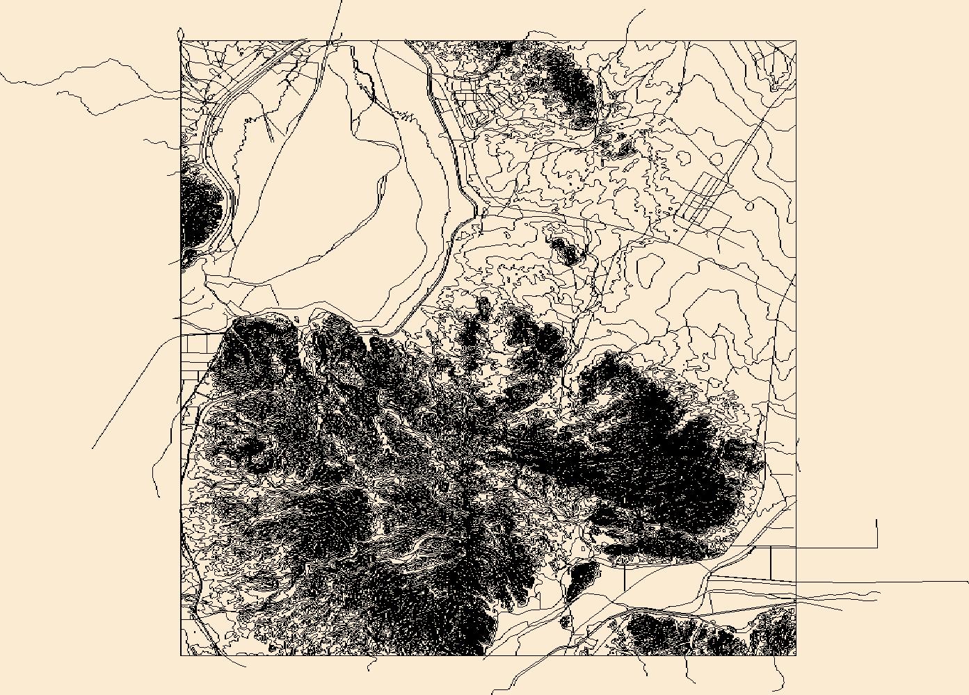
USGS Topo Map Vector Data (Vector) 70612 Laguna Dam, Arizona 20180807 for 7.5 x 7.5 minute Shapefile
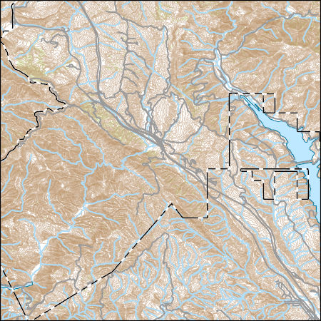
Layers of geospatial data include contours, boundaries, land cover, hydrography, roads, transportation, geographic names, structures, and other selected map features.
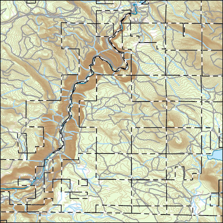
Layers of geospatial data include contours, boundaries, land cover, hydrography, roads, transportation, geographic names, structures, and other selected map features.
The spring 2017 mainland sea otter count began on April 30, and although the shore-based counts were completed by May 12, 2017, the aerial counts were not completed until July 12, 2017. Overall viewing conditions this year were good, although not as good as conditions experienced during the 2016 spring census (View Score 2.4 versus 3.1, where 0=poor, 1=fair, 2=good, 3=very good, and 4=excellent). The surface canopies of kelp (Macrocystis sp.) were considered by most participants to be considerably below normal for this time of year in most areas of the mainland range. Sea otters along the mainland coast were surveyed from Pillar Point in San Mateo County in the north to Rincon Point in the south at the Santa Barbara/Ventura...
Future climates are simulated by general circulation models (GCM) using climate change scenarios (IPCC 2014). To project climate change for the sagebrush biome, we used 11 GCMs and two climate change scenarios from the IPCC Fifth Assessment, representative concentration pathways (RCPs) 4.5 and 8.5 (Moss et al. 2010, Van Vuuren et al. 2011). RCP4.5 scenario represents a future where climate policies limit and achieve stabilization of greenhouse gas concentrations to 4.5 W m-2 by 2100. RCP8.5 scenario might be called a business-as-usual scenario, where high emissions of greenhouse gases continue in the absence of climate change policies. The two selected time frames allow comparison of near-term (2020-2050) and longer-term...
Categories: Data;
Types: Citation,
Downloadable,
GeoTIFF,
Map Service,
Raster;
Tags: Arizona,
CRS,
California,
Climate,
Colorado,
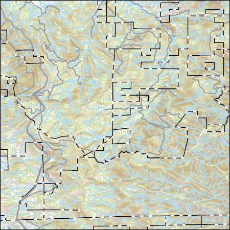
Layers of geospatial data include contours, boundaries, land cover, hydrography, roads, transportation, geographic names, structures, and other selected map features.
The U.S. Geological Survey, Western Ecological Research Center (USGS-WERC) was requested by the Bureau of Ocean Energy Management (BOEM) to create a database for marine birds of the California Current System (CCS) that would allow quantification and species ranking regarding vulnerability to offshore wind energy infrastructure (OWEI). This was needed so that resource managers could evaluate potential impacts associated with siting and construction of OWEI within the California Current System section of the Pacific Offshore Continental Shelf, including California, Oregon, and Washington. Along with its accompanying Open File Report (OFR), this comprehensive database can be used (and modified or updated) to quantify...
Categories: Data Release - Revised;
Types: Citation,
Map Service,
OGC WFS Layer,
OGC WMS Layer,
OGC WMS Service;
Tags: Biota,
California,
California Current System,
Environment,
Ocean wind energy,
Future climates are simulated by general circulation models (GCM) using climate change scenarios (IPCC 2014). To project climate change for the sagebrush biome, we used 11 GCMs and two climate change scenarios from the IPCC Fifth Assessment, representative concentration pathways (RCPs) 4.5 and 8.5 (Moss et al. 2010, Van Vuuren et al. 2011). RCP4.5 scenario represents a future where climate policies limit and achieve stabilization of greenhouse gas concentrations to 4.5 W m-2 by 2100. RCP8.5 scenario might be called a business-as-usual scenario, where high emissions of greenhouse gases continue in the absence of climate change policies. The two selected time frames allow comparison of near-term (2020-2050) and longer-term...
Categories: Data;
Types: Citation,
Downloadable,
GeoTIFF,
Map Service,
Raster;
Tags: Arizona,
CRS,
California,
Climate,
Colorado,
Layers of geospatial data include contours, boundaries, land cover, hydrography, roads, transportation, geographic names, structures, and other selected map features.
Hillshade of lidar-derived, bare earth digital elevation model, with 235-degree azimuth and 20-degree sun angle, 0.25m resolution, depicting earthquake effects following the August 24, 2014 South Napa Earthquake.
Categories: Data;
Types: Citation,
Downloadable,
GeoTIFF,
Map Service,
Raster;
Tags: California,
Napa,
Napa County,
San Francisco Bay,
earthquake occurrences,
Future climates are simulated by general circulation models (GCM) using climate change scenarios (IPCC 2014). To project climate change for the sagebrush biome, we used 11 GCMs and two climate change scenarios from the IPCC Fifth Assessment, representative concentration pathways (RCPs) 4.5 and 8.5 (Moss et al. 2010, Van Vuuren et al. 2011). RCP4.5 scenario represents a future where climate policies limit and achieve stabilization of greenhouse gas concentrations to 4.5 W m-2 by 2100. RCP8.5 scenario might be called a business-as-usual scenario, where high emissions of greenhouse gases continue in the absence of climate change policies. The two selected time frames allow comparison of near-term (2020-2050) and longer-term...
Categories: Data;
Types: Citation,
Downloadable,
GeoTIFF,
Map Service,
Raster;
Tags: Arizona,
CRS,
California,
Climate,
Colorado,
The ecosystems of the San Francisco Bay estuary are influenced by the salinity of its waters, which in turn depends on flushing by freshwater inflows from the western slopes of the Sierra Nevada. Estimates of full-natural flows in eight major rivers that flush the Bay are analyzed here by extended empirical-orthogonal-function analyses to characterize distinct ‘modes’ of seasonal flow and runoff variability. These modes provide a clear identification of the seasons in which the various rivers respond to hydroclimatic forcings and the seasons during which the rivers most strongly affect San Francisco Bay salinities. About 60 percent of the runoff variability is shared by the rivers over the course of a year but season-to-season...
Categories: Publication;
Types: Citation;
Tags: California,
Climate,
Estuarine salinity,
San Francisc
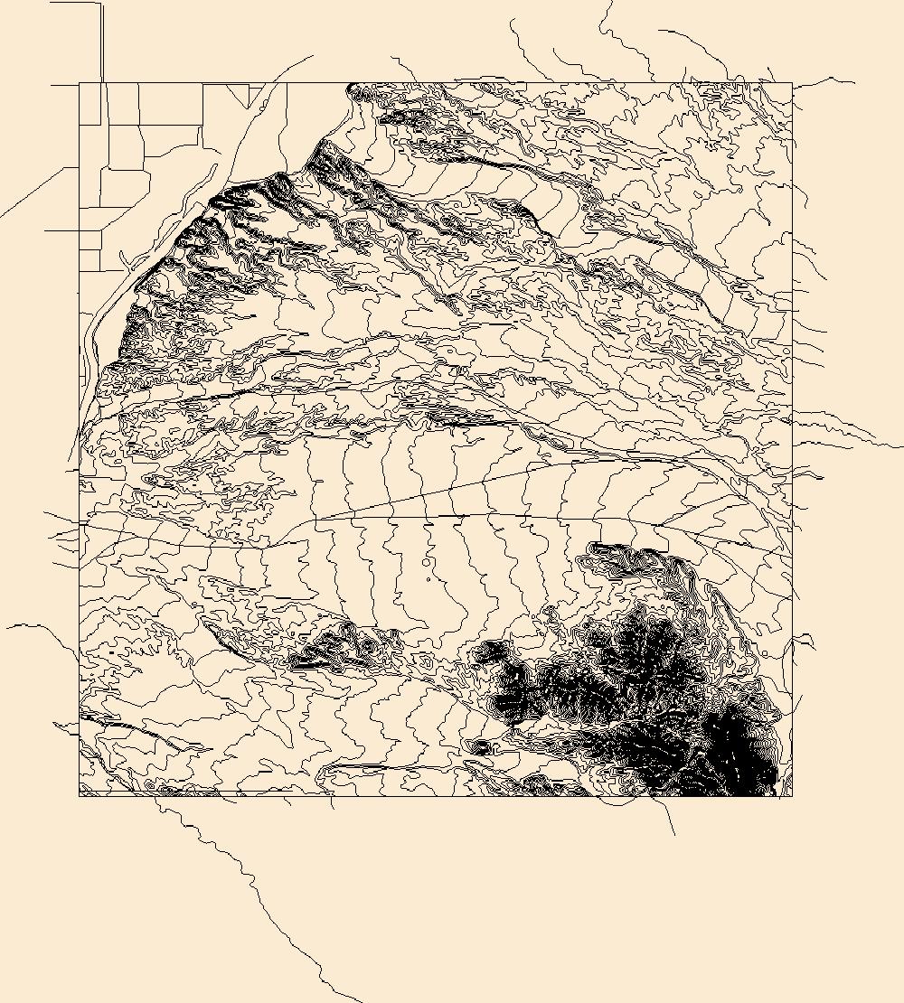
Layers of geospatial data include contours, boundaries, land cover, hydrography, roads, transportation, geographic names, structures, and other selected map features.
|

|
