Filters: Tags: California (X)
22,162 results (92ms)|
Filters
Date Range
Extensions (Less)
Types (Less)
Contacts (Less)
Categories (Less)
Tag Types
|
The U.S. Geological Survey's (USGS) SPAtially Referenced Regression On Watershed attributes (SPARROW) model was used to aid in the interpretation of monitoring data and simulate streamflow and water-quality conditions in streams across the Pacific Region of the Unites States. SPARROW is a hybrid empirical/process-based mass balance model that can be used to estimate the major sources and environmental factors that affect the long-term supply, transport, and fate of contaminants in streams. The spatially explicit model structure is defined by a river reach network coupled with contributing catchments. The model is calibrated by statistically relating watershed sources and transport-related properties to monitoring-based...
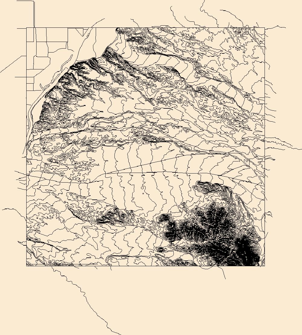
Layers of geospatial data include contours, boundaries, land cover, hydrography, roads, transportation, geographic names, structures, and other selected map features.
Inside the mill at the Silver King mine, showing the tube mills.

This map layer consists of federally owned or administered lands of the United States, Puerto Rico, and the U.S. Virgin Islands. For the most part, only areas of 320 acres or more are included; some smaller areas deemed to be important or significant are also included. There may be private inholdings within the boundaries of Federal lands in this map layer. Some established Federal lands which are larger than 320 acres are not included in this map layer, because their boundaries were not available from the owning or administering agency.
These data were compiled to evaluate the reproductive ecology of Agassiz's desert tortoises (Gopherus agassizzi) in the Sonoran Desert of California using two populations within Joshua Tree National Park, including five reproductive seasons that spanned 20 years (1997-1999, 2015-2016). Compared to their conspecifics inhabiting the Mojave Desert, the reproductive ecology of G. agassizii in the Sonoran Desert is understudied. Climatic variation between the two deserts can affect reproductive ecology, including fecundity and clutch phenology. Mature female tortoises (straight-line carapace length ≥ 20 cm) outfitted with radiotransmitters were located and X-radiographed approximately every 10-14 days during the reproductive...
Categories: Data;
Tags: Agassiz's desert tortoise,
California,
Ecology,
Geography,
Gopherus agassizii,
We collected detailed spatial data on the density and size distribution of intertidal snails as part of a broader effort to understand food webs in California estuaries. The survey area was Carpinteria Salt Marsh, California USA, which comprises 9 Ha tidal channels, 2 Ha salt flats, 17 Ha upland habitat, 6 Ha tidal pans, 52 Ha vegetated marsh, 2 Ha tidal flats. Using nearly 4,000 transects in potential snail habitat, we mapped snails throughout the estuary. Specifically, we systematically placed transects at intervals stratified within targeted habitat types: channels, pans, or marsh (or planar habitat that was mixed marsh and pan). At a quarter of the quadrats, we also estimated snail size-frequency distributions....
Categories: Data;
Tags: California,
Carpinteria,
Carpinteria Salt Marsh Reserve,
Santa Barbara County,
USGS Science Data Catalog (SDC),
A one-year seismic hazard forecast for the Central and Eastern United States, based on induced and natural earthquakes, has been produced by the U.S. Geological Survey. The model assumes that earthquake rates calculated from several different time windows will remain relatively stationary and can be used to forecast earthquake hazard and damage intensity for the year 2016. This assessment is the first step in developing an operational earthquake forecast for the CEUS, and the analysis could be revised with updated seismicity and model parameters. Consensus input models consider alternative earthquake catalog durations, smoothing parameters, maximum magnitudes, and ground motion estimates, and represent uncertainties...
Categories: Data;
Types: Downloadable,
GeoTIFF,
Map Service,
Raster;
Tags: Arizona,
California,
Colorado,
Earthquake,
Hazard,
This dataset represents an archived record of annual California sea otter surveys from 1985-2014. Survey procedures involve counting animals during the "spring survey" -- generally beginning in late April or early May and usually ending in late May early June but may extend into early July, depending on weather conditions. Annual surveys are organized by survey year and within each year, three shapefiles are included: census summary of southern sea otter, extra limit counts of southern sea otter, and range extent of southern sea otter. The surveys, conducted cooperatively by scientists of the U.S. Geological Survey, California Department of Fish and Wildlife, U.S. Fish and Wildlife Service and Monterey Bay Aquarium...
Categories: Data;
Tags: California,
Central California Coastal,
Coast,
Southern California Coastal,
USGS Science Data Catalog (SDC),
All roads in the western United States from the 2000 US Census Bureau 1:100,000 scale TIGER/line files.
Categories: Data;
Types: Downloadable,
Map Service,
OGC WFS Layer,
OGC WMS Layer,
Shapefile;
Tags: Arizona,
California,
Census 2000,
Colorado,
Idaho,
The 'Copperhead Enterprises (Imperial County)' file is part of the Grover Heinrichs mining collection. Grover was the Vice President of Heinrichs GEOEXploration, located in Tucson, Arizona. The collection contains over 1,400 folders including economic geology reports, maps, photos, correspondence, drill logs and other related materials. The focus of much of the information is on the western United States, particularly Arizona, but the collection also includes files on mining activity throughout the United States, foreign countries, and 82 mineral commodities.
Categories: Data;
Tags: California,
Dataset,
Imperial County,
United States,
geoscientificInformation,
The 'Vanderbilt Mine, California' file is part of the Grover Heinrichs mining collection. Grover was the Vice President of Heinrichs GEOEXploration, located in Tucson, Arizona. The collection contains over 1,400 folders including economic geology reports, maps, photos, correspondence, drill logs and other related materials. The focus of much of the information is on the western United States, particularly Arizona, but the collection also includes files on mining activity throughout the United States, foreign countries, and 82 mineral commodities.
Categories: Data;
Tags: California,
Dataset,
United States,
geoscientificInformation,
mineral resources,
The 'Thum Bum San Bernardino County' file is part of the Grover Heinrichs mining collection. Grover was the Vice President of Heinrichs GEOEXploration, located in Tucson, Arizona. The collection contains over 1,400 folders including economic geology reports, maps, photos, correspondence, drill logs and other related materials. The focus of much of the information is on the western United States, particularly Arizona, but the collection also includes files on mining activity throughout the United States, foreign countries, and 82 mineral commodities.
Categories: Data;
Tags: California,
Dataset,
San Bernardino County,
United States,
geoscientificInformation,
The 'Calico Mining District' file is part of the Grover Heinrichs mining collection. Grover was the Vice President of Heinrichs GEOEXploration, located in Tucson, Arizona. The collection contains over 1,400 folders including economic geology reports, maps, photos, correspondence, drill logs and other related materials. The focus of much of the information is on the western United States, particularly Arizona, but the collection also includes files on mining activity throughout the United States, foreign countries, and 82 mineral commodities.
Categories: Data;
Tags: California,
Dataset,
San Bernardino County,
United States,
geoscientificInformation,
The 'Randsburg Quadrangle, Yellow Aster Mine' file is part of the Grover Heinrichs mining collection. Grover was the Vice President of Heinrichs GEOEXploration, located in Tucson, Arizona. The collection contains over 1,400 folders including economic geology reports, maps, photos, correspondence, drill logs and other related materials. The focus of much of the information is on the western United States, particularly Arizona, but the collection also includes files on mining activity throughout the United States, foreign countries, and 82 mineral commodities.
Categories: Data;
Tags: California,
Dataset,
San Bernardino County,
United States,
geoscientificInformation,
The 'New Almaden Mine' file is part of the Grover Heinrichs mining collection. Grover was the Vice President of Heinrichs GEOEXploration, located in Tucson, Arizona. The collection contains over 1,400 folders including economic geology reports, maps, photos, correspondence, drill logs and other related materials. The focus of much of the information is on the western United States, particularly Arizona, but the collection also includes files on mining activity throughout the United States, foreign countries, and 82 mineral commodities.
Categories: Data;
Tags: California,
Dataset,
Santa Clara County,
United States,
geoscientificInformation,
The 'Map - Geologic, San Bernardino Sheet' file is part of the Grover Heinrichs mining collection. Grover was the Vice President of Heinrichs GEOEXploration, located in Tucson, Arizona. The collection contains over 1,400 folders including economic geology reports, maps, photos, correspondence, drill logs and other related materials. The focus of much of the information is on the western United States, particularly Arizona, but the collection also includes files on mining activity throughout the United States, foreign countries, and 82 mineral commodities.
Categories: Data;
Tags: California,
Dataset,
United States,
geoscientificInformation,
mineral resources,
The 'Dakin Ranch' file is part of the Grover Heinrichs mining collection. Grover was the Vice President of Heinrichs GEOEXploration, located in Tucson, Arizona. The collection contains over 1,400 folders including economic geology reports, maps, photos, correspondence, drill logs and other related materials. The focus of much of the information is on the western United States, particularly Arizona, but the collection also includes files on mining activity throughout the United States, foreign countries, and 82 mineral commodities.
Categories: Data;
Tags: California,
Dataset,
Mendocino County,
United States,
geoscientificInformation,
Hillshade of lidar-derived, bare earth digital elevation model, with 235-degree azimuth and 20-degree sun angle, 0.25m resolution, depicting earthquake effects following the August 24, 2014 South Napa Earthquake.
Categories: Data;
Types: Citation,
Downloadable,
GeoTIFF,
Map Service,
Raster;
Tags: California,
Napa,
Napa County,
San Francisco Bay,
earthquake occurrences,

The Nature Conservancy (TNC) has derived climate suitability forecasts for most species of trees and shrubs considered to be ecological dominants of terrestrial Californian habitat types. Our plant projections are compiled as decision support tools to help Conservancy project staff, as well as our external partners, develop the necessary plans, priorities and strategies to successfully adapt to uncertain changes in future climate. In the recently completed Southern Sierra Partnership's 2010 Climate-Adapted Conservation Plan for the Southern Sierra Nevada and Tehachapi Mountains, species and habitat forecasts shown here informed the development of a regional conservation design that explicitly incorporates long-term...
The Nature Conservancy (TNC) has derived climate suitability forecasts for most species of trees and shrubs considered to be ecological dominants of terrestrial Californian habitat types. Our plant projections are compiled as decision support tools to help Conservancy project staff, as well as our external partners, develop the necessary plans, priorities and strategies to successfully adapt to uncertain changes in future climate. In the recently completed Southern Sierra Partnership's 2010 Climate-Adapted Conservation Plan for the Southern Sierra Nevada and Tehachapi Mountains, species and habitat forecasts shown here informed the development of a regional conservation design that explicitly incorporates long-term...
|

|
