Filters: Tags: Caribou (X)
632 results (50ms)|
Filters
Date Range
Extensions Types Contacts
Categories Tag Types
|
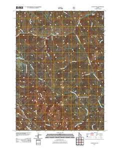
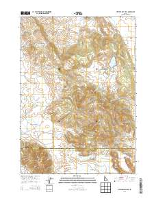
Layered GeoPDF 7.5 Minute Quadrangle Map. Layers of geospatial data include orthoimagery, roads, grids, geographic names, elevation contours, hydrography, and other selected map features.
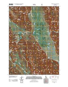
Layered GeoPDF 7.5 Minute Quadrangle Map. Layers of geospatial data include orthoimagery, roads, grids, geographic names, elevation contours, hydrography, and other selected map features.
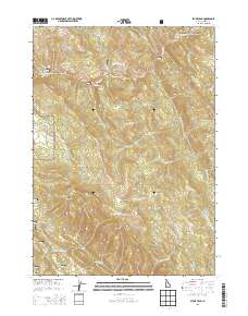
Layered GeoPDF 7.5 Minute Quadrangle Map. Layers of geospatial data include orthoimagery, roads, grids, geographic names, elevation contours, hydrography, and other selected map features.
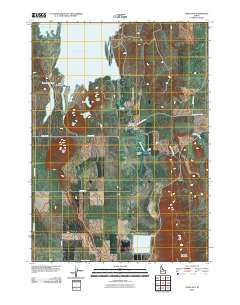
Layered GeoPDF 7.5 Minute Quadrangle Map. Layers of geospatial data include orthoimagery, roads, grids, geographic names, elevation contours, hydrography, and other selected map features.
Layered GeoPDF 7.5 Minute Quadrangle Map. Layers of geospatial data include orthoimagery, roads, grids, geographic names, elevation contours, hydrography, and other selected map features.
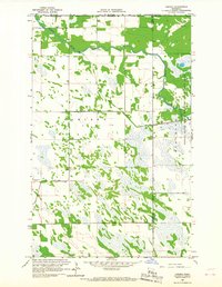
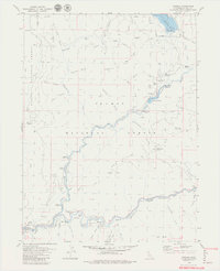
USGS Historical Quadrangle in GeoPDF.
USGS Historical Quadrangle in GeoPDF.
at publisher's site. Also available at FWS site.
Categories: Publication;
Types: Citation;
Tags: Baseline 5-Data,
Caribou,
Mammals,
Monitoring 1-Changes in Plant and Animal Distribution: Fauna,
Species of Concern: Mammals,
Full text at University of British Columbia site.
Categories: Publication;
Types: Citation;
Tags: Baseline 5-Data,
Caribou,
Species of Concern: Mammals,
Woodland Herd
The caribou (Rangifer tarandus ) has been the most valuable game species throughout circumpolar regions since ancient times. They have remained an important economic and cultural resource for northern communities. However, caribou are not always a dependable resource, due to marked population declines and range shifts that occur at unpredictable intervals. These fluctuations are often caused by harsh environmental conditions. In addition, since the early 19 th century, many caribou herds have experienced various levels of stress due to human encroachment on caribou ranges. Consequently, a number of populations and subspecies have recently been listed as threatened or endangered . As herd range conditions change...
Categories: Data,
Publication;
Types: Citation,
Downloadable,
Map Service,
OGC WFS Layer,
OGC WMS Layer,
Shapefile;
Tags: Baseline 5-Data,
Caribou,
Denali Herd,
Mammals,
Monitoring 1-Changes in Plant and Animal Distribution: Fauna,
Categories: Data,
Publication;
Types: Citation,
Downloadable,
Map Service,
OGC WFS Layer,
OGC WMS Layer,
Shapefile;
Tags: Baseline 5-Data,
Caribou,
Mammals,
Monitoring 1-Changes in Plant and Animal Distribution: Fauna,
Species of Concern: Mammals,
Porcupine Caribou Management Board's Resources web page. Lists all documents available by general subject matter. Categories are: Hunters; Researchers; Teachers' Annual Harvest Meeting; PCMB Operations; Additional Resources;
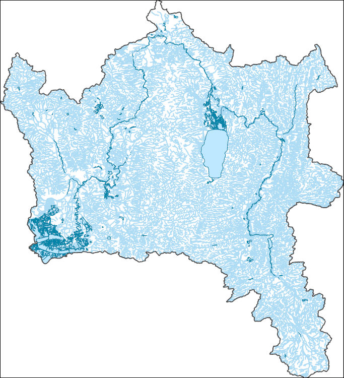
The National Hydrography Dataset (NHD) is a feature-based database that interconnects and uniquely identifies the stream segments or reaches that make up the nation's surface water drainage system. NHD data was originally developed at 1:100,000-scale and exists at that scale for the whole country. This high-resolution NHD, generally developed at 1:24,000/1:12,000 scale, adds detail to the original 1:100,000-scale NHD. (Data for Alaska, Puerto Rico and the Virgin Islands was developed at high-resolution, not 1:100,000 scale.) Local resolution NHD is being developed where partners and data exist. The NHD contains reach codes for networked features, flow direction, names, and centerline representations for areal water...
Geospatial data includes structures and other selected map features.
The Watershed Boundary Dataset (WBD) is a comprehensive aggregated collection of hydrologic unit data consistent with the national criteria for delineation and resolution. It defines the areal extent of surface water drainage to a point except in coastal or lake front areas where there could be multiple outlets as stated by the "Federal Standards and Procedures for the National Watershed Boundary Dataset (WBD)" "Standard" (https://pubs.usgs.gov/tm/11/a3/). Watershed boundaries are determined solely upon science-based hydrologic principles, not favoring any administrative boundaries or special projects, nor particular program or agency. This dataset represents the hydrologic unit boundaries to the 12-digit (6th level)...
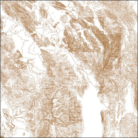
These vector contour lines are derived from the 3D Elevation Program using automated and semi-automated processes. They were created to support 1:24,000-scale CONUS and Hawaii, 1:25,000-scale Alaska, and 1:20,000-scale Puerto Rico / US Virgin Island topographic map products, but are also published in this GIS vector format. Contour intervals are assigned by 7.5-minute quadrangle, so this vector dataset is not visually seamless across quadrangle boundaries. The vector lines have elevation attributes (in feet above mean sea level on NAVD88), but this dataset does not carry line symbols or annotation.
Categories: Publication;
Types: Citation;
Tags: Baseline 5-Data,
Caribou,
Species of Concern: Mammals,
Western Herd
Categories: Publication;
Types: Citation;
Tags: Baseline 5-Data,
Caribou,
Species of Concern: Mammals
North American caribou (Rangifer tarandus) herds commonly exhibit little nuclear genetic differentiation among adjacent herds, although available evidence supports strong demographic separation, even for herds with seasonal range overlap. During 1997–2003, we studied the Mentasta and Nelchina caribou herds in south-central Alaska using radiotelemetry to determine individual movements and range overlap during the breeding season, and nuclear and mitochondrial DNA (mtDNA) markers to assess levels of genetic differentiation. Although the herds were considered discrete because females calved in separate regions, individual movements and breeding-range overlap in some years provided opportunity for male-mediated gene...
Categories: Publication;
Types: Citation;
Tags: Baseline 5-Data,
Caribou,
Species of Concern: Mammals
|

|
