Filters: Tags: Charleston County (X) > Date Range: {"choice":"year"} (X)
6 results (10ms)|
Filters
Date Types (for Date Range)
Tag Types Tag Schemes |

The U.S. Geological Survey in cooperation with Mount Pleasant Water Works updated an existing three-dimensional model (MODFLOW-2000) by Fine, Petkewich, and Campbell (2017) (https://doi.org/10.3133/sir20175128) to evaluate two water-management scenarios and predict the effects of increased pumpage on the groundwater flow and groundwater-level conditions in the Mount Pleasant, South Carolina area. This model was originally developed in 2007, by Petkewich and Campbell (https://pubs.er.usgs.gov/publication/sir20075126), then updated and recalibrated to conditions from 1900 to 2015. The updated model was used to simulate six scenario simulations (scenarios 1-6) for the Mount Pleasant Water Works which are published...

An existing three-dimensional model (MODFLOW-2000) by Petkewich and Campbell was modified to simulate potential changes in groundwater-level conditions caused by withdrawals from a proposed well in the Middendorf aquifer near Monocks, South Carolina. A single well was added to the existing model in the cell at row 67 and column 119 in layer 7 (the Middendorf aquifer). Two scenarios were created by modifying the Base Case simulation which is documented in the model documentation report (https://pubs.usgs.gov/sir/2009/5185/) and data release (https://doi.org/10.5066/F7JW8C1K). The proposed well was pumped at 0.5 million gallons per day for the 'proposed well 1.5 MGD' scenario and 1.5 million gallons per day for the...

An existing three-dimensional model (MODFLOW-2000) by Petkewich and Campbell (2007) (https://pubs.usgs.gov/sir/2007/5126/) was updated to simulate six predictive water-management scenarios that were created to simulate potential changes in groundwater flow and groundwater-level conditions in the Mount Pleasant, South Carolina area. The model was recalibrated to conditions from 1900 to 2015. Simulations included six scenarios: (1) maximize Mount Pleasant Waterworks reverse-osmosis plant capacity by increasing groundwater withdrawals from 3.9 million gallons per day (Mgal/d) in 2015 to 8.6 Mgal/d from the Middendorf aquifer; (2) same as Scenario 1, but with the addition of a 0.5 Mgal/d supply well in the Middendorf...

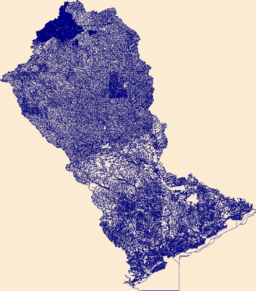
The High Resolution National Hydrography Dataset Plus (NHDPlus HR) is an integrated set of geospatial data layers, including the best available National Hydrography Dataset (NHD), the 10-meter 3D Elevation Program Digital Elevation Model (3DEP DEM), and the National Watershed Boundary Dataset (WBD). The NHDPlus HR combines the NHD, 3DEP DEMs, and WBD to create a stream network with linear referencing, feature naming, "value added attributes" (VAAs), elevation-derived catchments, and other features for hydrologic data analysis. The stream network with linear referencing is a system of data relationships applied to hydrographic systems so that one stream reach "flows" into another and "events" can be tied to and traced...

An existing three-dimensional model (MODFLOW-2000) by Petkewich and Campbell (2007) was updated to simulate potential changes in groundwater flow and groundwater-level conditions caused by injecting reclaimed water into the Middendorf aquifer in Mount Pleasant, South Carolina. The model was recalibrated to conditions from 1900 to 2008. Simulations included a Base Case and two injection scenarios. Maximum pumping rates were simulated as 6.65, 8.50, and 10.5 million gallons per day for the Base Case, Scenario 1, and Scenario 2, respectively. The Base Case simulation represents a non-injection estimate of the year 2050 groundwater levels for comparison purposes for the two injection scenarios. For Scenarios 1 and 2,...

An existing three-dimensional model (MODFLOW-2000) by Fine, Petkewich, and Campbell (2017) (https://doi.org/10.3133/sir20175128) was used to evaluate 7 water-management scenarios and predict the effects on the groundwater flow and groundwater-level conditions in the Mount Pleasant, South Carolina area. This model was originally developed in 2007, by Petkewich and Campbell (https://pubs.er.usgs.gov/publication/sir20075126), then updated and recalibrated to conditions from 1900 to 2015. Results of six previous scenario simulations (scenarios 1-6) for the Mount Pleasant Water Works are published in a U.S. Geological Survey (USGS) Scientific Investigations Report (https://doi.org/10.3133/sir20175128). The archived model...
|

|