Filters: Tags: Chihuahua (X)
314 results (15ms)|
Filters
Date Range
Extensions Types
Contacts
Categories Tag Types
|
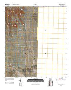
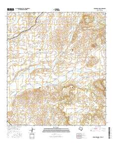
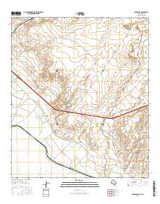
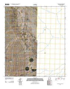
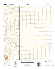
Layered GeoPDF 7.5 Minute Quadrangle Map. Layers of geospatial data include orthoimagery, roads, grids, geographic names, elevation contours, hydrography, and other selected map features.
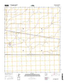
Layered geospatial PDF Map. Layers of geospatial data include orthoimagery, roads, grids, geographic names, elevation contours, hydrography, and other selected map features.
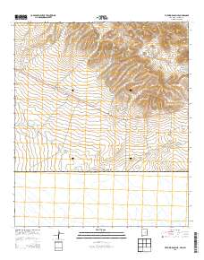
Layered GeoPDF 7.5 Minute Quadrangle Map. Layers of geospatial data include orthoimagery, roads, grids, geographic names, elevation contours, hydrography, and other selected map features.
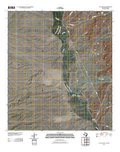
Layered GeoPDF 7.5 Minute Quadrangle Map. Layers of geospatial data include orthoimagery, roads, grids, geographic names, elevation contours, hydrography, and other selected map features.
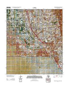
Layered GeoPDF 7.5 Minute Quadrangle Map. Layers of geospatial data include orthoimagery, roads, grids, geographic names, elevation contours, hydrography, and other selected map features.
Layered GeoPDF 7.5 Minute Quadrangle Map. Layers of geospatial data include orthoimagery, roads, grids, geographic names, elevation contours, hydrography, and other selected map features.
The National Hydrography Dataset (NHD) is a feature-based database that interconnects and uniquely identifies the stream segments or reaches that make up the nation's surface water drainage system. NHD data was originally developed at 1:100,000-scale and exists at that scale for the whole country. This high-resolution NHD, generally developed at 1:24,000/1:12,000 scale, adds detail to the original 1:100,000-scale NHD. (Data for Alaska, Puerto Rico and the Virgin Islands was developed at high-resolution, not 1:100,000 scale.) Local resolution NHD is being developed where partners and data exist. The NHD contains reach codes for networked features, flow direction, names, and centerline representations for areal water...
Projected water deficits mean that land and water managers must be proactive in their management of rivers and shallow aquifers, if they want to maintain the ecosystems dependent upon them. To do this, managers and decision makers need easy access to the best techniques available for determining how much water ecosystems need. This project will result in a Desert LCC-wide database of environmental flow needs and responses (environmental water demands) to help water and land managers make management decisions. This project will identify critical data gaps in flow need and flow response data in the Desert LCC (especially related to baseflow dependent streams) and result in a user-friendly, one-stop-shop for managers...
Categories: Data,
Project;
Types: Map Service,
OGC WFS Layer,
OGC WMS Layer,
OGC WMS Service;
Tags: 2014,
AZ-01,
AZ-02,
AZ-03,
AZ-04,
Understanding the physiological impacts of climate change on arid lands species is a critical step towards ensuring the resilience and persistence of such species under changing temperature and moisture regimes. Varying degrees of vulnerability among different species will largely determine their future distributions in the face of climate change. Studies have indicated that Northern Mexico and the Southwestern United States are likely to become climate change hotspots, experiencing significantly drier and warmer average conditions by the end of the 21st century. However, relatively few studies have examined specifically the physiological effects of climate change on species inhabiting this region. This manuscript...
Categories: Data,
Project;
Types: Map Service,
OGC WFS Layer,
OGC WMS Layer,
OGC WMS Service;
Tags: 2014,
AZ-01,
AZ-02,
AZ-03,
AZ-04,
Executive SummaryIn 2015 the Desert Landscape Conservation Cooperative (Desert LCC) made significant progress toward developing a climate smart Landscape Conservation Design for their geography. They developed a methodology for engaging interested partners in conservation planning, hosted two Landscape Conservation Design workshops (one in the U.S. and one in Mexico), developed an understanding of the highest impact pressures and stressors affecting focal ecosystems (springs, including aquatic and riparian resources, streams, including aquatic and riparian resources, and grasslands and shrublands), conducted outreach across the Desert LCC geography to familiarize partners with the Landscape Conservation Design approach...
Categories: Data;
Types: Map Service,
OGC WFS Layer,
OGC WMS Layer,
OGC WMS Service;
Tags: 2014,
AZ-01,
AZ-02,
AZ-03,
AZ-04,
The Desert LCC's primary goal for landscape conservation planning and design is to "add value to, and further our partner’s ongoing work to build resource resilience in the face of climate change and other ecosystem stressors."
Categories: Data;
Types: Map Service,
OGC WFS Layer,
OGC WMS Layer,
OGC WMS Service;
Tags: AZ-01,
AZ-02,
AZ-03,
AZ-04,
AZ-05,
This part of the Data Release contains the raster representation of the water-level altitude and water-level change maps developed every 5 years from 1980-2015 for the upper Rio Grande Focus Area Study. The input point data used to generate the water-level altitude maps can be found in the "Groundwater level measurement data used to develop water-level altitude maps in the upper Rio Grande Alluvial Basins" child item of this data release. These digital data accompany Houston, N.A., Thomas, J.V., Foster, L.K., Pedraza, D.E., and Welborn, T.L., 2020, Hydrogeologic framework, groundwater-level altitudes, groundwater-level changes, and groundwater-storage changes in selected alluvial basins of the upper Rio Grande...
Types: Map Service,
OGC WFS Layer,
OGC WMS Layer,
OGC WMS Service;
Tags: Abiquiu Reservoir,
Ahumada,
Alamosa,
Alamosa County,
Alamosa Creek,
This line vector dataset represents the faults and dikes used as input data for the Rio Grande transboundary integrated hydrologic model and water-availability analysis, New Mexico and Texas, United States, and Northern Chihuahua, Mexico.
This dataset contains monthly crop irrigation requirement (CIR) values from 1938 through 2014 for six canal service units used in the Lower Rio Grande Basin groundwater flow model (SSPA, 2007). CIR values from 1938 through 2010 were extracted from the New Mexico Office of the State Engineer’s (NMOSE’s) Canal spreadsheet, version 11.2 (Barroll, P., NMOSE, written commun., 2011). CIR values from 2011 through 2014 were copied from a year within the 1938 through 2010 dataset with a similar total annual precipitation as recorded at the State University, NM US station, part of the National Oceanic and Atmospheric Administration (NOAA) National Climatic Data Center (NCDC) Global Historical Climatology Network (GHCND) (NCDC,...
Categories: Data;
Tags: Caballo Reservoir,
Chihuahua,
El Paso,
Elephant Butte Reservoir,
Las Cruces,
This dataset contains the source information for pumping rates for municipal and industrial (MnI) wells in Texas within the Rio Grande Transboundary Integrated Hydrologic Model (RGTIHM). In RGTIHM, these wells are considered the Other Texas (OTX) group.
Categories: Data;
Tags: Caballo Reservoir,
Chihuahua,
El Paso,
Elephant Butte Reservoir,
Las Cruces,
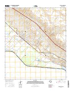
Layered GeoPDF 7.5 Minute Quadrangle Map. Layers of geospatial data include orthoimagery, roads, grids, geographic names, elevation contours, hydrography, and other selected map features.
Layered GeoPDF 7.5 Minute Quadrangle Map. Layers of geospatial data include orthoimagery, roads, grids, geographic names, elevation contours, hydrography, and other selected map features.
Layered GeoPDF 7.5 Minute Quadrangle Map. Layers of geospatial data include orthoimagery, roads, grids, geographic names, elevation contours, hydrography, and other selected map features.
Layered GeoPDF 7.5 Minute Quadrangle Map. Layers of geospatial data include orthoimagery, roads, grids, geographic names, elevation contours, hydrography, and other selected map features.
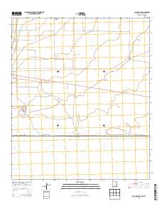
Layered GeoPDF 7.5 Minute Quadrangle Map. Layers of geospatial data include orthoimagery, roads, grids, geographic names, elevation contours, hydrography, and other selected map features.
|

|
