Filters: Tags: Chihuahua (X)
263 results (54ms)|
Filters
Date Range
Extensions Types
Contacts
Categories Tag Types
|
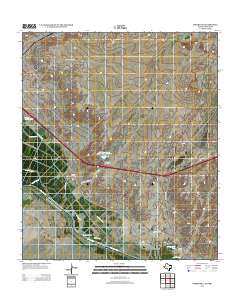
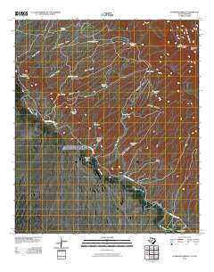
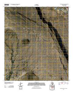
Layered GeoPDF 7.5 Minute Quadrangle Map. Layers of geospatial data include orthoimagery, roads, grids, geographic names, elevation contours, hydrography, and other selected map features.
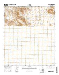
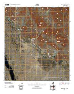
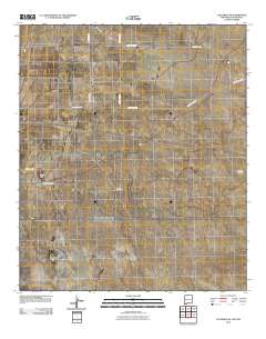
Layered GeoPDF 7.5 Minute Quadrangle Map. Layers of geospatial data include orthoimagery, roads, grids, geographic names, elevation contours, hydrography, and other selected map features.
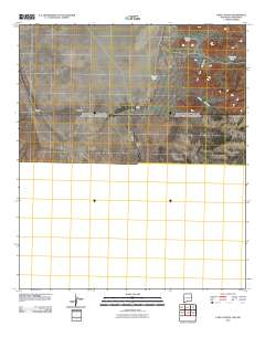
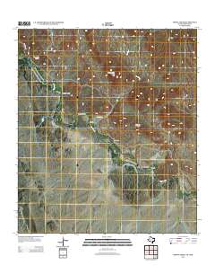
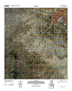
Layered GeoPDF 7.5 Minute Quadrangle Map. Layers of geospatial data include orthoimagery, roads, grids, geographic names, elevation contours, hydrography, and other selected map features.
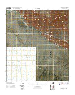
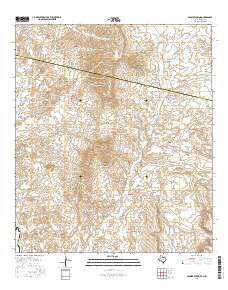
Layered GeoPDF 7.5 Minute Quadrangle Map. Layers of geospatial data include orthoimagery, roads, grids, geographic names, elevation contours, hydrography, and other selected map features.
Layered GeoPDF 7.5 Minute Quadrangle Map. Layers of geospatial data include orthoimagery, roads, grids, geographic names, elevation contours, hydrography, and other selected map features.
Layered GeoPDF 7.5 Minute Quadrangle Map. Layers of geospatial data include orthoimagery, roads, grids, geographic names, elevation contours, hydrography, and other selected map features.
Layered GeoPDF 7.5 Minute Quadrangle Map. Layers of geospatial data include orthoimagery, roads, grids, geographic names, elevation contours, hydrography, and other selected map features.
Layered GeoPDF 7.5 Minute Quadrangle Map. Layers of geospatial data include orthoimagery, roads, grids, geographic names, elevation contours, hydrography, and other selected map features.
Explore climate change impacts on vegetation across the Desert and Southern Rockies LCCs using historical monitoring data collected from 23 sites across the Sonoran, Chihuahuan, Mojave and Colorado Plateau deserts for 30-50 years. This data will then be combined with ecosystem water balance model simulations to establish features of water availability critical for plant species response. Results will allow managers to identify species and communities at risk under future climate scenarios based on predicted changes in plant water availability. Due to the high variability in soils, incorporating a detailed understanding of soil water availability beyond bioclimatic envelope approaches in the desert Southwest is essential...
Categories: Data,
Project;
Types: Map Service,
OGC WFS Layer,
OGC WMS Layer,
OGC WMS Service;
Tags: 2012,
AZ-02,
AZ-03,
AZ-04,
Academics & scientific researchers,
This project will be focused on hosting 2-3 workshops in 2013 to train people to conduct the Springs Stewardship Institute’s spring assessment protocol and promote it as a standardized method. This will facilitate standardized data collection across the landscape that can contribute to a broad-scale inventory and assessment of springs, seeps, and aquatic resources throughout the Desert LCC.
Categories: Data,
Project;
Types: Downloadable,
Map Service,
OGC WFS Layer,
OGC WMS Layer,
OGC WMS Service,
Shapefile;
Tags: 2012,
AZ-01,
AZ-02,
AZ-03,
AZ-04,
The Bird Conservancy of the Rockies will use, combine and optimize an array of remote sensing techniques to identify the most efficient process that characterizes grasslands and level of shrub component in those grasslands. The project will classify a pilot area, the Janos Grassland Priority Conservation Area, which contains the majority of the Janos Biosphere Reserve, using a variety of remote sensing approaches. In the process they will identify the best techniques for decomposing grass-shrub intermix at low densities and identify the best approaches for large scale application of remote sensing to classify the desert grasslands and shrublands.
Categories: Data,
Project;
Types: Downloadable,
Map Service,
OGC WFS Layer,
OGC WMS Layer,
OGC WMS Service,
Shapefile;
Tags: 2013,
Chihuahua,
Conservation NGOs,
Data Acquisition and Development,
Datasets/Database,
In the desert southwest biodiversity is facing a changing landscape due to human population growth, expansion of energy development, and from the persistent effects of climate change among other threats. The 2012 Desert LCC science needs document recognized the importance of modeling and predicting habitat area, fragmentation and corridor network connectivity for a broad range of wildlife taxa. Tools and methods from conservation planning are available to address some of these issues, but tools to evaluate the expected benefits of corridors in mitigating climate change effects are only in their infancy. This USGS project will use quantitative spatial analysis and principles from landscape ecology to determine where...
Categories: Data,
Project;
Types: Downloadable,
Map Service,
OGC WFS Layer,
OGC WMS Layer,
OGC WMS Service,
Shapefile;
Tags: 2012,
AZ-01,
AZ-02,
AZ-03,
AZ-04,
Successful implementation of environmental flow projects depends on land and water managers having clear objectives and access to reliable data. This guidebook provides information on a variety of methods that can be utilized under different fiscal or temporal constraints to determine and implement appropriate environmental flow targets. Based on evidence from cases focused in the Southwestern United States and Northern Mexico, steps are suggested to help ensure maintenance of flows under uncertain future natural and socioeconomic conditions. The importance of education and engagement to increase acceptance of environmental flows based projects and gain key player and community buy in is described. Limitations on...
Categories: Data,
Publication;
Types: Citation,
Map Service,
OGC WFS Layer,
OGC WMS Layer,
OGC WMS Service;
Tags: Aquascalientes,
Arizona,
Baja California,
California,
Chihuahua,
This tabular dataset represents groundwater-level elevation measurements used as head and drawdown observations for the Rio Grande Transboundary Integrated Hydrologic Model (RGTIHM).
Categories: Data;
Tags: Caballo Reservoir,
Chihuahua,
El Paso,
Elephant Butte Reservoir,
Las Cruces,
This dataset contains the source information for pumping rates for municipal and industrial (MnI) wells in the Santa Teresa, New Mexico network within the Rio Grande Transboundary Integrated Hydrologic Model (RGTIHM). In RGTIHM, these wells are considered the Santa Teresa, New Mexico (NMST) group.
Categories: Data;
Tags: Caballo Reservoir,
Chihuahua,
El Paso,
Elephant Butte Reservoir,
Las Cruces,
This dataset contains annual agricultural groundwater pumping values in 1975 for Doña Ana County; in 1980, 1985, 1990, 1994, 1995, 2000, 2005, and 2010 for Doña Ana and Sierra Counties; and in 2009, 2011, 2012, 2013, and 2014 for the Lower Rio Grande Water Master District in New Mexico. Groundwater pumping values were extracted from Sorensen (1977), Sorensen (1982), Wilson (1986), Wilson (1992), Wilson and Lucero (1998), Wilson and others (2003), Longworth and others (2008), Stangl (2010), Longworth and others (2013), Serrano (2014), and Serrano (2015). Groundwater pumping values are presented in units of acre-feet.
Categories: Data;
Tags: Caballo Reservoir,
Chihuahua,
El Paso,
Elephant Butte Reservoir,
Las Cruces,
This dataset contains annual Rio Grande Project surface-water allotments and diversion allocations from 1940 through 2014 to lands within New Mexico, Texas, and Mexico. Allotment and allocation values were extracted from the Allocation spreadsheet (Ferguson, I., Bureau of Reclamation, written commun., 2016). Allotment values are presented in units of acre-feet per acre. Allocation values are presented in units of acre-feet.
Categories: Data;
Tags: Caballo Reservoir,
Chihuahua,
El Paso,
Elephant Butte Reservoir,
Las Cruces,
Layered GeoPDF 7.5 Minute Quadrangle Map. Layers of geospatial data include orthoimagery, roads, grids, geographic names, elevation contours, hydrography, and other selected map features.
Layered GeoPDF 7.5 Minute Quadrangle Map. Layers of geospatial data include orthoimagery, roads, grids, geographic names, elevation contours, hydrography, and other selected map features.
Layered GeoPDF 7.5 Minute Quadrangle Map. Layers of geospatial data include orthoimagery, roads, grids, geographic names, elevation contours, hydrography, and other selected map features.
|

|
