Filters: Tags: Clallam County (X)
211 results (62ms)|
Filters
Date Range
Extensions Types
Contacts
Categories Tag Types Tag Schemes |
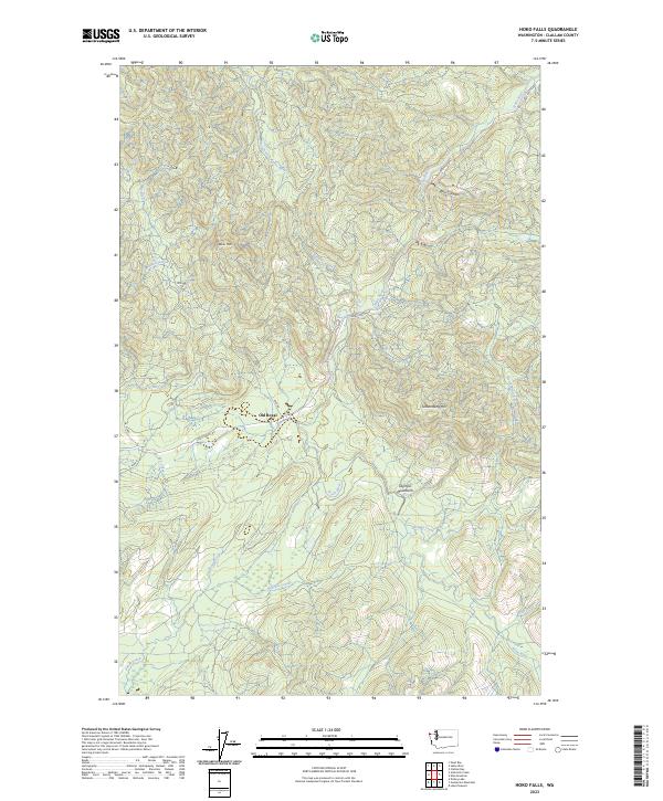
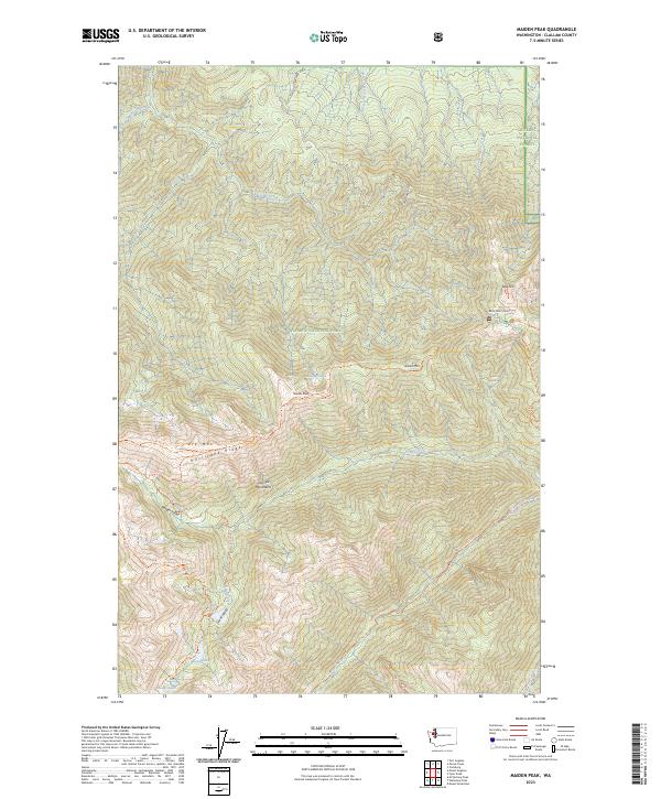
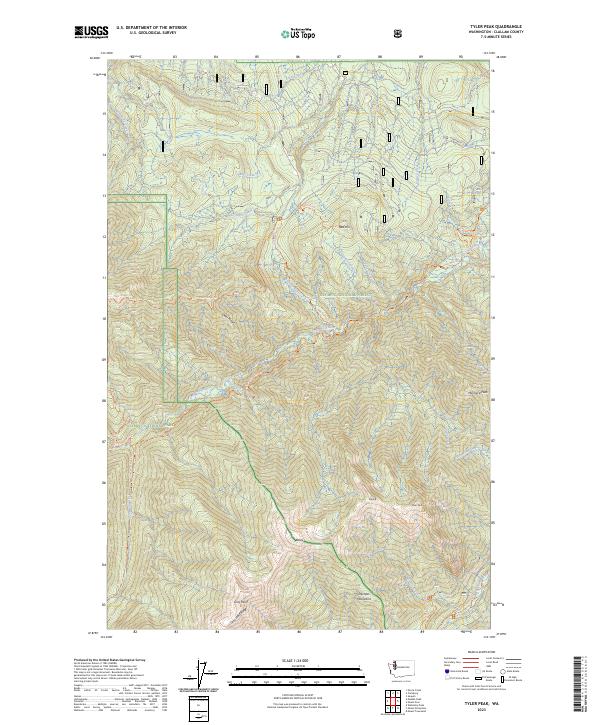
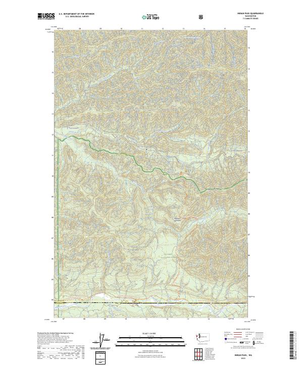
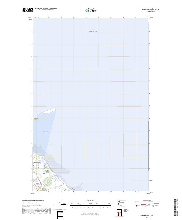
Layered geospatial PDF 7.5 Minute Quadrangle Map. Layers of geospatial data include orthoimagery, roads, grids, geographic names, elevation contours, hydrography, and other selected map features. This map is derived from GIS (geospatial information system) data. It represents a repackaging of GIS data in traditional map form, not creation of new information. The geospatial data in this map are from selected National Map data holdings and other government sources.
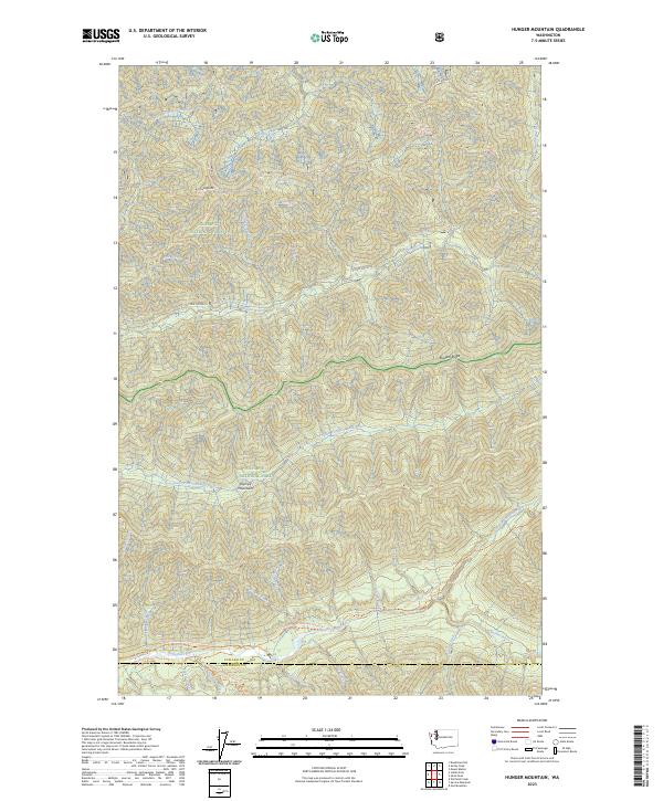
Layered geospatial PDF 7.5 Minute Quadrangle Map. Layers of geospatial data include orthoimagery, roads, grids, geographic names, elevation contours, hydrography, and other selected map features. This map is derived from GIS (geospatial information system) data. It represents a repackaging of GIS data in traditional map form, not creation of new information. The geospatial data in this map are from selected National Map data holdings and other government sources.
To support the modeling of storm-induced flooding, the USGS Coastal National Elevation Database (CoNED) Applications Project has created an integrated 1-meter topobathymetric digital elevation model (TBDEM) for Puget Sound. Puget Sound is located along the northwestern coast of Washington and is part of the Salish Sea. Puget Sound is the third largest estuary in the United States. High-resolution coastal elevation data is required to identify flood, storm, and sea-level rise inundation hazard zones and other earth science applications, such as the development of sediment transport and storm surge models. The new TBDEM consists of the best available multi-source topographic and bathymetric elevation data for Puget...
Layered geospatial PDF 7.5 Minute Quadrangle Map. Layers of geospatial data include orthoimagery, roads, grids, geographic names, elevation contours, hydrography, and other selected map features. This map is derived from GIS (geospatial information system) data. It represents a repackaging of GIS data in traditional map form, not creation of new information. The geospatial data in this map are from selected National Map data holdings and other government sources.
This portion of the USGS data release presents sediment grain-size data from samples collected on the Elwha River delta, Washington, in July 2017 (USGS Field Activity Number 2017-638-FA). Surface sediment was collected on July 20, 2017 at a total of 80 locations using a small ponar, or 'grab', sampler from the R/V Frontier in water depths between about 1 and 17 m around the delta. An additional 31 samples were collected by hand at low tide. A handheld global satellite navigation system (GNSS) receiver was used to determine the locations of sediment samples. Grab samples that yielded less than 50 g of sediment were omitted from analysis. The grain-size distributions of samples that yielded more than 50 g of sediment...
Categories: Data;
Types: Map Service,
OGC WFS Layer,
OGC WMS Layer,
OGC WMS Service;
Tags: CMHRP,
Clallam County,
Coastal and Marine Hazards and Resources Program,
Elwha River,
GPS (Global Positioning System),
This portion of the data release presents riparian plant species abundance (percent cover) data from plots sampled in the Elwha River estuary, Washington, in 2007 and 2014. In August 2007, we established 21 vegetation plots within the study area in a stratified random fashion, with three to five plots in five of the vegetation cover types denoted in the habitat classification maps: mixed riparian forest, willow-alder forest, riparian shrub, emergent marsh/marsh-shrub transition, and dunegrass. Each plot was 100 square meter, usually 10 m x 10 m, but in areas where the vegetation patch was narrow, plots were either 4 m x 25 m or 5 m x 20 m. We visually estimated percent cover by species of all vascular plants within...
Categories: Data;
Types: Citation;
Tags: Clallam County,
Elwha River,
Olympic Peninsula,
Port Angeles,
State of Washington,
This portion of the USGS data release presents bathymetric data collected during surveys performed on the Elwha River delta, Washington in 2018 (USGS Field Activity Number 2018-648-FA). Bathymetric data were collected using personal watercraft (PWCs) equipped with single-beam sonar systems and global navigation satellite system (GNSS) receivers.
Categories: Data;
Types: Map Service,
OGC WFS Layer,
OGC WMS Layer,
OGC WMS Service;
Tags: Bathymetry and Elevation,
CMHRP,
Clallam County,
Coastal and Marine Hazards and Resources Program,
Elwha River,
Estuary vegetation cover delineated from 11 September 2009 1-meter-resolution NAIP aerial imagery at a scale of 1:1500.
Categories: Data;
Types: Citation,
Downloadable,
Map Service,
OGC WFS Layer,
OGC WMS Layer,
Shapefile;
Tags: Clallam County,
Elwha River,
Olympic Peninsula,
Port Angeles,
United States of America,
Estuary vegetation cover delineated from 26 August 2013 0.15-meter-resolution NPS Elwha PlaneCam aerial imagery at a scale of 1:1500.
Categories: Data;
Types: Citation,
Downloadable,
Map Service,
OGC WFS Layer,
OGC WMS Layer,
Shapefile;
Tags: Clallam County,
Elwha River,
Olympic Peninsula,
Port Angeles,
United States of America,
Estuary geomorphic units delineated at a scale of 1:1500 using a combination of (a) 28 August 2014 0.15 meter resolution NPS Elwha PlaneCam aerial imagery; and (b) elevation-colored and hillshaded digital elevation models from USGS backpack/jetski topobathy surveys (5-8 September 2014) for areas < MHHW and aerial lidar surveys (7 November 2014) supplemented with NPS Elwha PlaneCam SfM photogrammetry data (30 September 2014) for elevations > MHHW.
Categories: Data;
Types: Citation,
Downloadable,
Map Service,
OGC WFS Layer,
OGC WMS Layer,
Shapefile;
Tags: Clallam County,
Elwha River,
Olympic Peninsula,
Port Angeles,
United States of America,
Estuary geomorphic units delineated at a scale of 1:1500 using a combination of (a) 11 September 2009 1 meter resolution NAIP aerial imagery; and (b) elevation-colored and hillshaded digital elevation models from USGS backpack/jetski topobathy surveys (17 September 2009) for areas < MHHW and aerial lidar surveys (4-6 April 2009) for elevations > MHHW.
Categories: Data;
Types: Citation,
Downloadable,
Map Service,
OGC WFS Layer,
OGC WMS Layer,
Shapefile;
Tags: Clallam County,
Elwha River,
Olympic Peninsula,
Port Angeles,
United States of America,
Layered geospatial PDF 7.5 Minute Quadrangle Map. Layers of geospatial data include orthoimagery, roads, grids, geographic names, elevation contours, hydrography, and other selected map features. This map is derived from GIS (geospatial information system) data. It represents a repackaging of GIS data in traditional map form, not creation of new information. The geospatial data in this map are from selected National Map data holdings and other government sources.
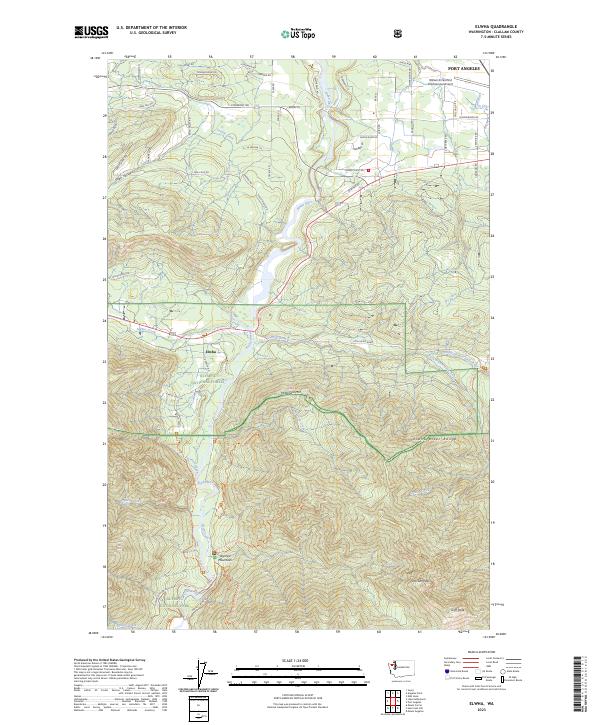
Layered geospatial PDF 7.5 Minute Quadrangle Map. Layers of geospatial data include orthoimagery, roads, grids, geographic names, elevation contours, hydrography, and other selected map features. This map is derived from GIS (geospatial information system) data. It represents a repackaging of GIS data in traditional map form, not creation of new information. The geospatial data in this map are from selected National Map data holdings and other government sources.
Layered geospatial PDF 7.5 Minute Quadrangle Map. Layers of geospatial data include orthoimagery, roads, grids, geographic names, elevation contours, hydrography, and other selected map features. This map is derived from GIS (geospatial information system) data. It represents a repackaging of GIS data in traditional map form, not creation of new information. The geospatial data in this map are from selected National Map data holdings and other government sources.
Layered geospatial PDF 7.5 Minute Quadrangle Map. Layers of geospatial data include orthoimagery, roads, grids, geographic names, elevation contours, hydrography, and other selected map features. This map is derived from GIS (geospatial information system) data. It represents a repackaging of GIS data in traditional map form, not creation of new information. The geospatial data in this map are from selected National Map data holdings and other government sources.
Estuary geomorphic units delineated at a scale of 1:1500 using a combination of (a) 26 August 2013 0.15 meter resolution NPS Elwha PlaneCam aerial imagery; and (b) elevation-colored and hillshaded digital elevation models from USGS backpack/jetski topobathy surveys (16 September 2013) for areas < MHHW and aerial lidar surveys (17 October 2012) supplemented with NPS Elwha PlaneCam SfM photogrammetry data (19 September 2013) for elevations > MHHW.
Categories: Data;
Types: Citation,
Downloadable,
Map Service,
OGC WFS Layer,
OGC WMS Layer,
Shapefile;
Tags: Clallam County,
Elwha River,
Olympic Peninsula,
Port Angeles,
United States of America,
This portion of the USGS data release presents bathymetric data collected during surveys performed on the Elwha River delta, Washington in 2022 (USGS Field Activity Number 2022-638-FA). Bathymetric data were collected using personal watercraft (PWCs) and a kayak equipped with single-beam sonar systems and global navigation satellite system (GNSS) receivers.
Categories: Data;
Types: Map Service,
OGC WFS Layer,
OGC WMS Layer,
OGC WMS Service;
Tags: Bathymetry and Elevation,
CMHRP,
Clallam County,
Coastal and Marine Hazards and Resources Program,
Elwha River,
This portion of the data release presents riparian plant species richness (number of unique taxa) data from plots sampled in the Elwha River estuary, Washington, in 2007 and 2014. In August 2007, we established 21 vegetation plots within the study area in a stratified random fashion, with three to five plots in five of the vegetation cover types denoted in the habitat classification maps: mixed riparian forest, willow-alder forest, riparian shrub, emergent marsh/marsh-shrub transition, and dunegrass. Each plot was 100 square meters, usually 10 m x 10 m, but in areas where the vegetation patch was narrow, plots were either 4 m x 25 m or 5 m x 20 m. We visually estimated percent cover by species of all vascular plants...
Categories: Data;
Types: Citation;
Tags: Clallam County,
Elwha River,
Olympic Peninsula,
Port Angeles,
State of Washington,
Layered geospatial PDF 7.5 Minute Quadrangle Map. Layers of geospatial data include orthoimagery, roads, grids, geographic names, elevation contours, hydrography, and other selected map features. This map is derived from GIS (geospatial information system) data. It represents a repackaging of GIS data in traditional map form, not creation of new information. The geospatial data in this map are from selected National Map data holdings and other government sources.
Layered geospatial PDF 7.5 Minute Quadrangle Map. Layers of geospatial data include orthoimagery, roads, grids, geographic names, elevation contours, hydrography, and other selected map features. This map is derived from GIS (geospatial information system) data. It represents a repackaging of GIS data in traditional map form, not creation of new information. The geospatial data in this map are from selected National Map data holdings and other government sources.
|

|
