Filters: Tags: Cochise County (X)
1,340 results (54ms)|
Filters
Date Range
Contacts
Categories Tag Types
|
ADMMR map collection: Toughnut Mine Second Level Assay Map; 1 in. to 50 feet; 37 x 24 in.
ADMMR map collection: Elma Fourth Level; 1 in. to 50 feet; 28 x 20 in.
Categories: Data;
Tags: Arizona,
Central Copper Co. Group,
Cochise County,
Copper, Sulfide,
Dataset,
ADMMR map collection: Junction Mine Superior & Pittsburgh Co. Copper Co. Section 6 Level 1300; 1 in. to 50 feet; 51 x 30 in.
ADMMR map collection: Hilltop Mine Kasper Adit Level; 1 in. to 50 feet; 55 x 22 in.
Categories: Data;
Tags: 1950s,
Arizona,
Cadmium, Deleterious,
California metallic mineral dist.,
Chiricahua Mts. physiographic area,
ADMMR map collection: Buckeye Wash Topographic Map; 1 in. to 4 miles; 10 x 13 in.
Categories: Data;
Tags: Arizona,
Buckeye Wash Area Uranium,
Cochise County,
Dataset,
Martin Well 7.5 - Min,
ADMMR map collection: Junction Mine Superior & Pittsburgh Copper Co. Section 6 Level 1400; 1 in. to 50 feet; 50 x 32 in.
ADMMR map collection: Lucky Cuss Workings; 1 in. to 200 feet; 12 x 12 in.
Heinrichs Geoexploration Co. Maps: Charleston, Magnetic Profile No. 4; 13 x 11 in.
The 'Greenhouse Project - Bisbee' file is part of the Grover Heinrichs mining collection. Grover was the Vice President of Heinrichs GEOEXploration, located in Tucson, Arizona. The collection contains over 1,400 folders including economic geology reports, maps, photos, correspondence, drill logs and other related materials. The focus of much of the information is on the western United States, particularly Arizona, but the collection also includes files on mining activity throughout the United States, foreign countries, and 82 mineral commodities.
ADMMR map collection: Gallagher Vanadium Area Geology and Assay Map Sheet 1; 1 in. to 100 feet; 21 x 18 in.
ADMMR map collection: Sample between Comet 100 Level and Surface; 1 in. to 50 feet; 10 x 8 in.
ADMMR map collection: Toughnut Mine Underground Workings 2nd Level; 1 in. to 50 feet; 22 x 18 in.
ADMMR map collection: Tombstone Underground Workings Showing Silver Thread, Empire, and Tranquility Shafts; 1 in. to 20 feet; 34 x 28 in.
Heinrichs Geoexploration Co. Maps: Courtland-Gleeson, USGS Professional Paper 281 Plate 11; 1 in. to 2640 feet; 14 x 16 in.
Heinrichs Geoexploration Co. Maps: Tombstone Topographic Map Showing Southern Tombstone; 1 in. to 200 feet; 38 x 33 in.
ADMMR map collection: Superior & Pittsburgh Co. Junction Geologic Map Level 1500 Floor 4 Sec 2; 1 in. to 50 feet; 48 x 32 in.
ADMMR map collection: Sketch of Workings between Silver Thread 400 and Empire 300; 1 in. to 50 feet; 11 x 11 in.
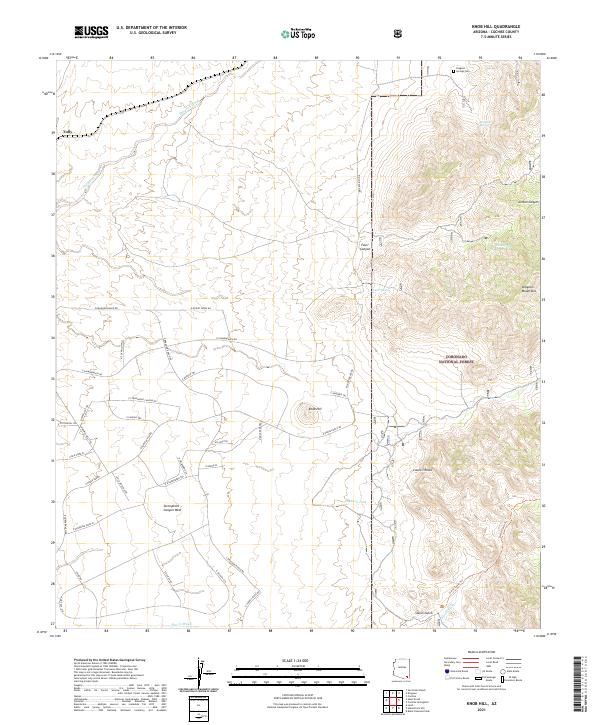
Layered geospatial PDF 7.5 Minute Quadrangle Map. Layers of geospatial data include orthoimagery, roads, grids, geographic names, elevation contours, hydrography, and other selected map features. This map is derived from GIS (geospatial information system) data. It represents a repackaging of GIS data in traditional map form, not creation of new information. The geospatial data in this map are from selected National Map data holdings and other government sources.
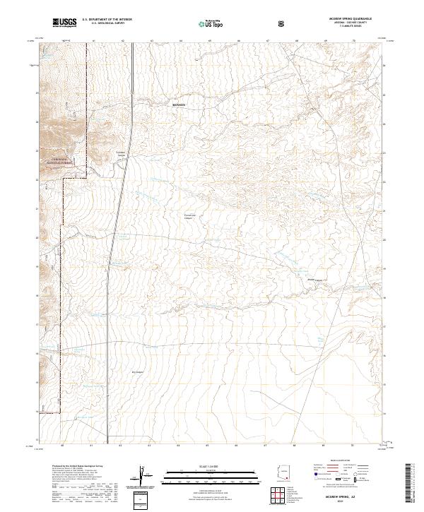
Layered geospatial PDF 7.5 Minute Quadrangle Map. Layers of geospatial data include orthoimagery, roads, grids, geographic names, elevation contours, hydrography, and other selected map features. This map is derived from GIS (geospatial information system) data. It represents a repackaging of GIS data in traditional map form, not creation of new information. The geospatial data in this map are from selected National Map data holdings and other government sources.
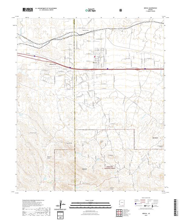
Layered geospatial PDF 7.5 Minute Quadrangle Map. Layers of geospatial data include orthoimagery, roads, grids, geographic names, elevation contours, hydrography, and other selected map features. This map is derived from GIS (geospatial information system) data. It represents a repackaging of GIS data in traditional map form, not creation of new information. The geospatial data in this map are from selected National Map data holdings and other government sources.
|

|
