Filters: Tags: Columbus (X) > partyWithName: U.S. Geological Survey (X)
208 results (12ms)|
Filters
Date Range
Types Contacts
Categories Tag Types Tag Schemes |
These data are bathymetry (river bottom elevation) in XYZ format, generated from the March 29-30, 2017 and April 13, 2017, bathymetric survey of the East Fork White River at Columbus, Indiana. The bathymetry was collected from approximately the confluence of Driftwood and Flatrock rivers, downstream to the confluence of Haw Creek. Hydrographic data were collected using an acoustic Doppler current profiler (ADCP) with integrated Differential Global Positioning System (DGPS). Data were collected as the surveying vessel traversed the river, approximately perpendicular to the velocity vectors at 55 cross sections which were spaced 200 feet apart along the river. Additional cross sections were collected upstream and...
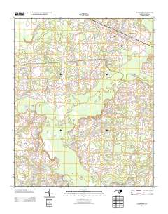
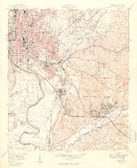
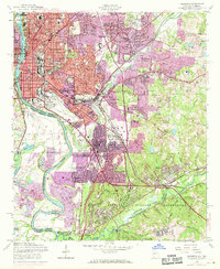
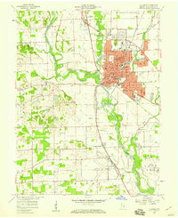
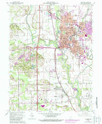
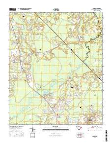
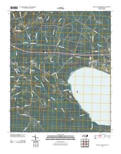
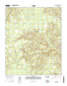
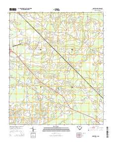
Layered GeoPDF 7.5 Minute Quadrangle Map. Layers of geospatial data include orthoimagery, roads, grids, geographic names, elevation contours, hydrography, and other selected map features.
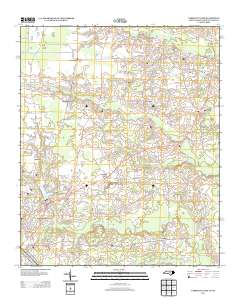
Layered GeoPDF 7.5 Minute Quadrangle Map. Layers of geospatial data include orthoimagery, roads, grids, geographic names, elevation contours, hydrography, and other selected map features.
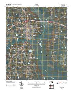
Layered GeoPDF 7.5 Minute Quadrangle Map. Layers of geospatial data include orthoimagery, roads, grids, geographic names, elevation contours, hydrography, and other selected map features.
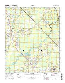
Layered GeoPDF 7.5 Minute Quadrangle Map. Layers of geospatial data include orthoimagery, roads, grids, geographic names, elevation contours, hydrography, and other selected map features.
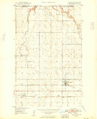
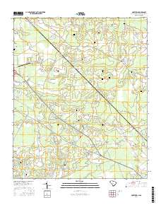
USGS Historical Quadrangle in GeoPDF.
USGS Historical Quadrangle in GeoPDF.
USGS Historical Quadrangle in GeoPDF.
USGS Historical Quadrangle in GeoPDF.
USGS Historical Quadrangle in GeoPDF.
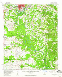
USGS Historical Quadrangle in GeoPDF.
USGS Historical Quadrangle in GeoPDF.
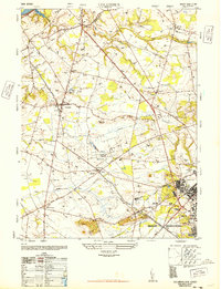
USGS Historical Quadrangle in GeoPDF.
Survey of velocity and bathymetry in Hoover Reservoir, ADCP source data, Columbus, OH (August, 2015)
These data were collected using a 600 kHz Rio Grande ADCP (acoustic Doppler current profiler) in mode 12 from a moving boat. The data were georeferenced with a Hemisphere A101 Smart Antenna differential GPS. These data were processed with Teledyne RD Instruments' software, WinRiver II. These data were collected concurrently with several water quality parameters that were collected by an autonomous underwater vehicle (AUV) in the same reach. This data release supports the following publication: VonIns, B.L., and Jackson, P.R., 2017, Response of currents and water quality to changes in dam operations in Hoover Reservoir, Columbus, Ohio, August 24–28, 2015: U.S. Geological Survey Scientific Investigations Report 2017–5027,...
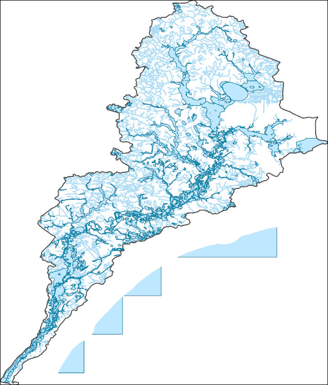
The National Hydrography Dataset (NHD) is a feature-based database that interconnects and uniquely identifies the stream segments or reaches that make up the nation's surface water drainage system. NHD data was originally developed at 1:100,000-scale and exists at that scale for the whole country. This high-resolution NHD, generally developed at 1:24,000/1:12,000 scale, adds detail to the original 1:100,000-scale NHD. (Data for Alaska, Puerto Rico and the Virgin Islands was developed at high-resolution, not 1:100,000 scale.) Local resolution NHD is being developed where partners and data exist. The NHD contains reach codes for networked features, flow direction, names, and centerline representations for areal water...
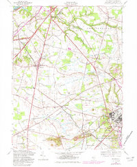
Layered geospatial PDF Map. Layers of geospatial data include orthoimagery, roads, grids, geographic names, elevation contours, hydrography, and other selected map features.
Layered GeoPDF 7.5 Minute Quadrangle Map. Layers of geospatial data include orthoimagery, roads, grids, geographic names, elevation contours, hydrography, and other selected map features.
Layered geospatial PDF Map. Layers of geospatial data include orthoimagery, roads, grids, geographic names, elevation contours, hydrography, and other selected map features.
|

|
