Filters: Tags: Congress (X)
28 results (65ms)|
Filters
Date Range
Extensions Types
Contacts
Categories Tag Types Tag Schemes |
ADMMR map collection: Congress Gold Project; 17 x 11 in.
ADMMR map collection: Underground Workings in the Congress and Niagra Veins, Congress Mine, Part 3; 1 in. to 100 feet; 31 x 14 in.
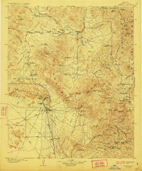
USGS Historical Quadrangle in GeoPDF.

A map service on the fsweb depicting the spatial representation of the United States Congressional Districts of the 113th Congress. It includes common identifiers for these entities so this data set can be used in conjunction with other data sets describing Congressionl Districts. The CongDist feature class describes the location and boundaries of the United States Congressional Districts of the 113th Congress. It includes common identifiers for these entities so this data set can be used in conjunction with other data sets describing Congressionl Districts. This feature class is a US Forest Service Standard Reference Dataset and is the preferred spatial representation of Congressional Districts for use by the US...
ADMMR map collection: Malartic hygrade - Congress Mine escape plan; 1 in. to 100 feet; 18 x 18 in.
ADMMR map collection: Underground Workings in the Congress and Niagra Veins, Congress Mine, Part 1; 1 in. to 100 feet; 54 x 39 in.
ADMMR map collection: Underground Workings in the Congress and Niagra Veins, Congress Mine, Part 2; 1 in. to 100 feet; 54 x 13 in.
ADMMR map collection: Mine workings on Congress Vein; 1 in. to 200 feet; 21 x 23 in.
|

|
