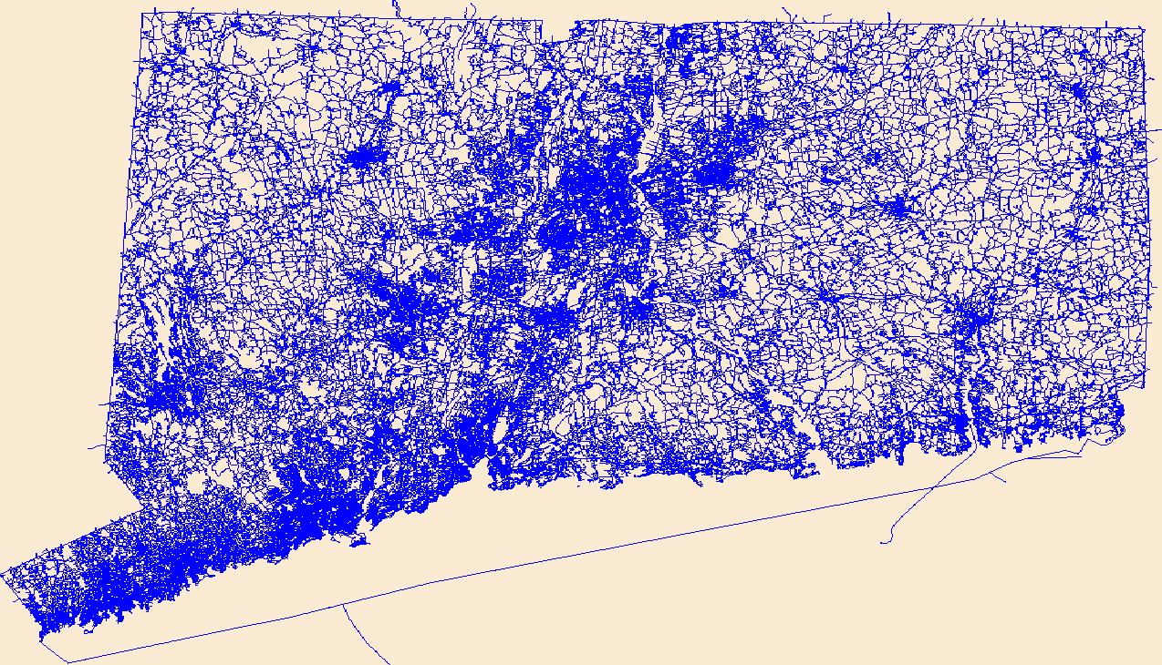
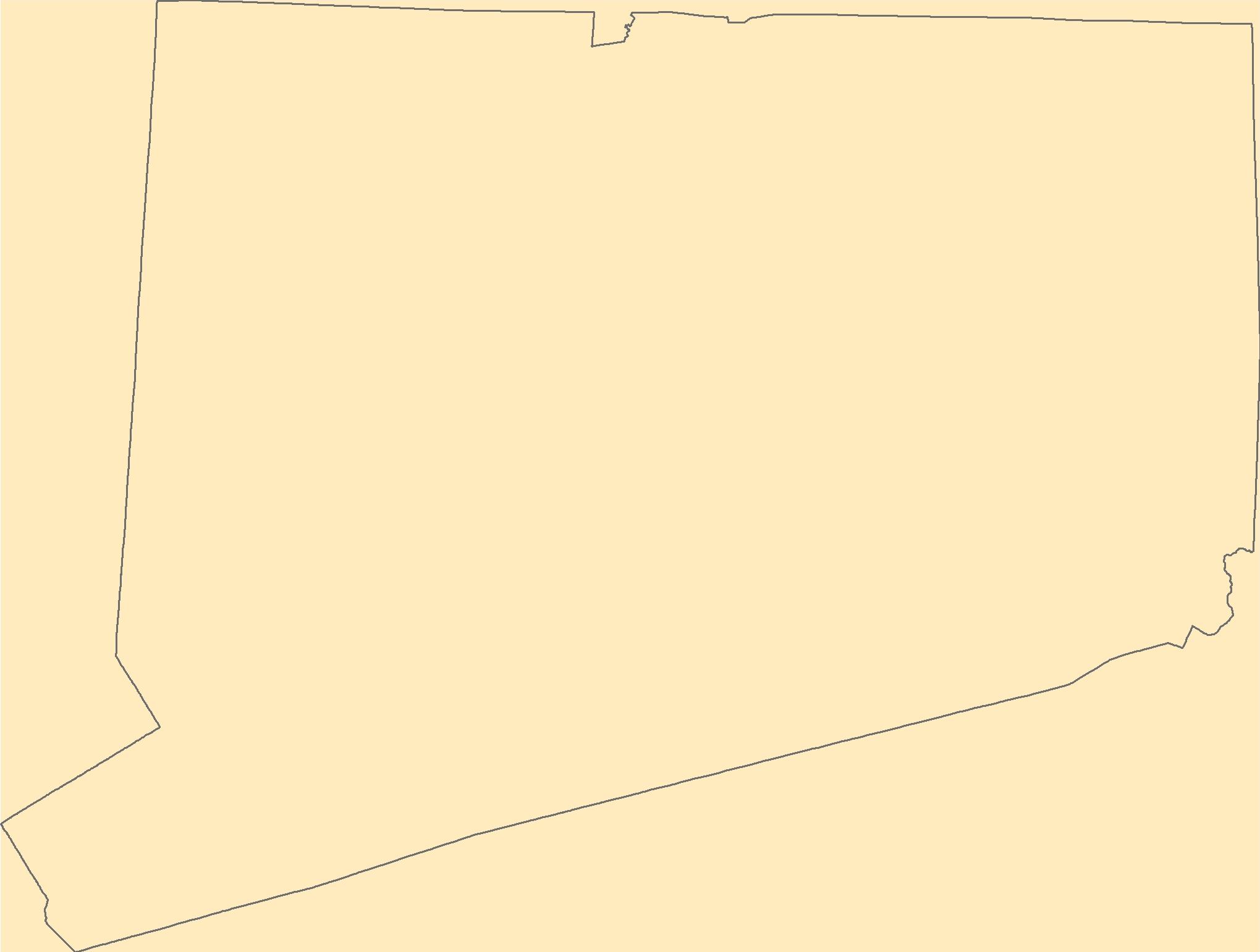
Filters: Tags: Connecticut (X) > Date Range: {"choice":"year"} (X)
376 results (52ms)|
Filters
Date Types (for Date Range)
Types
Contacts
Categories
Tag Types
|
During the spring and summer of 2022, the U.S. Geological Survey collected water-quality samples for nutrient analysis at 45 stations across the state of Connecticut and adjacent areas of New York and Rhode Island to better understand the groundwater discharge component of nitrogen loading to the Long Island Sound. The targeted stations were located in small drainage basins (less than 50 square kilometers) in the southern portion of the Long Island Sound watershed. Sites were selected randomly from groups based on expected drivers or controls on baseflow nitrogen loads. Factors used in the grouping included four metrics calculated for the upstream watershed: percent impervious cover, septic system density, percent...
Categories: Data;
Types: Downloadable,
Map Service,
OGC WFS Layer,
OGC WMS Layer,
Shapefile;
Tags: Connecticut,
Connecticut Coastal,
Hydrology,
Long Island Sound,
New York,
Layers of geospatial data include roads, airports, trails, and railroads.
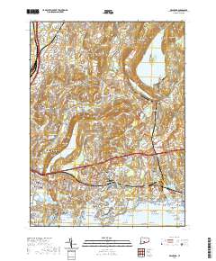
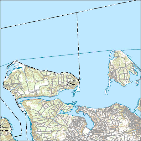
Layered geospatial PDF 7.5 Minute Quadrangle Map. Layers of geospatial data include orthoimagery, roads, grids, geographic names, elevation contours, hydrography, and other selected map features. This map is derived from GIS (geospatial information system) data. It represents a repackaging of GIS data in traditional map form, not creation of new information. The geospatial data in this map are from selected National Map data holdings and other government sources.
Layered geospatial PDF 7.5 Minute Quadrangle Map. Layers of geospatial data include orthoimagery, roads, grids, geographic names, elevation contours, hydrography, and other selected map features. This map is derived from GIS (geospatial information system) data. It represents a repackaging of GIS data in traditional map form, not creation of new information. The geospatial data in this map are from selected National Map data holdings and other government sources.
The dwarf wedgemussel (Alasmidonta heterodon) is a federally endangered freshwater mussel that once ranged from New Brunswick to North Carolina, but now only exists in isolated populations throughout its diminished range. This study aimed to understand links between fish abundance and dwarf wedgemussel abundance and occurrence in the Connecticut and Delaware watersheds. Specifically, my study objectives were to 1) characterize fish assemblages near dwarf wedgemussel locations and unoccupied locations, 2) determine if dwarf wedgemussel occurrence and abundance are related to abundance of the known host fish species, tessellated darter and other potential host fish species per St. John White et. al. (2017). Two fish...

The Geographic Names Information System (GNIS) is the Federal standard for geographic nomenclature. The U.S. Geological Survey developed the GNIS for the U.S. Board on Geographic Names, a Federal inter-agency body chartered by public law to maintain uniform feature name usage throughout the Government and to promulgate standard names to the public. The GNIS is the official repository of domestic geographic names data; the official vehicle for geographic names use by all departments of the Federal Government; and the source for applying geographic names to Federal electronic and printed products of all types.
The Geographic Names Information System (GNIS) is the Federal standard for geographic nomenclature. The U.S. Geological Survey developed the GNIS for the U.S. Board on Geographic Names, a Federal inter-agency body chartered by public law to maintain uniform feature name usage throughout the Government and to promulgate standard names to the public. The GNIS is the official repository of domestic geographic names data; the official vehicle for geographic names use by all departments of the Federal Government; and the source for applying geographic names to Federal electronic and printed products of all types.
Layers of geospatial data include contours, boundaries, land cover, hydrography, roads, transportation, geographic names, structures, and other selected map features.
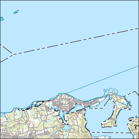
Layers of geospatial data include contours, boundaries, land cover, hydrography, roads, transportation, geographic names, structures, and other selected map features.
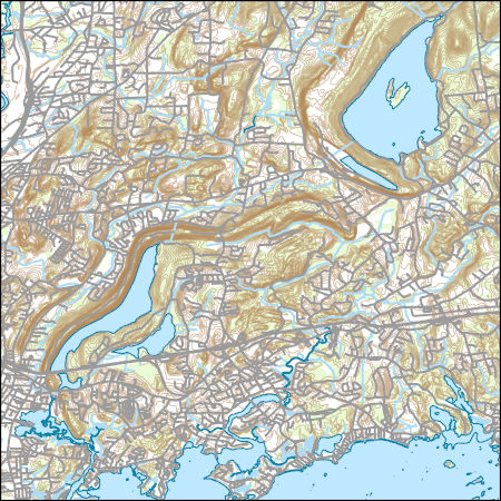
Layers of geospatial data include contours, boundaries, land cover, hydrography, roads, transportation, geographic names, structures, and other selected map features.
This child item describes Python code used to estimate average yearly and monthly tourism per 1000 residents within public-supply water service areas. Increases in population due to tourism may impact amounts of water used by public-supply water systems. This data release contains model input datasets, Python code used to develop the tourism information, and output estimates of tourism. This dataset is part of a larger data release using machine learning to predict public supply water use for 12-digit hydrologic units from 2000-2020. Output from this code was used as an input feature in the public supply delivery and water use machine learning models. This page includes the following files: tourism_input_data.zip...
This child item describes a public supply delivery machine learning model that was developed to estimate public-supply deliveries. Publicly supplied water may be delivered to domestic users or to commercial, industrial, institutional, and irrigation (CII) users. This model predicts total, domestic, and CII per capita rates for public-supply water service areas within the conterminous United States for 2009-2020. This child item contains model input datasets, code used to build the delivery machine learning model, and national predictions. This dataset is part of a larger data release using machine learning to predict public-supply water use for 12-digit hydrologic units from 2000-2020. This page includes the following...
This child item describes Python code used to query census data from the TigerWeb Representational State Transfer (REST) services and the U.S. Census Bureau Application Programming Interface (API). These data were needed as input feature variables for a machine learning model to predict public supply water use for the conterminous United States. Census data were retrieved for public-supply water service areas, but the census data collector could be used to retrieve data for other areas of interest. This dataset is part of a larger data release using machine learning to predict public supply water use for 12-digit hydrologic units from 2000-2020. Data retrieved by the census data collector code were used as input...

The High Resolution National Hydrography Dataset Plus (NHDPlus HR) is an integrated set of geospatial data layers, including the National Hydrography Dataset (NHD), National Watershed Boundary Dataset (WBD), and 3D Elevation Program Digital Elevation Model (3DEP DEM). The NHDPlus HR combines the NHD, 3DEP DEMs, and WBD to a data suite that includes the NHD stream network with linear referencing functionality, the WBD hydrologic units, elevation-derived catchment areas for each stream segment, "value added attributes" (VAAs), and other features that enhance hydrologic data analysis and routing.
This data release contains coastal wetland synthesis products for the state of Connecticut. Metrics for resiliency, including the unvegetated to vegetated ratio (UVVR), marsh elevation, tidal range, wave power, and exposure potential to environmental health stressors are calculated for smaller units delineated from a digital elevation model, providing the spatial variability of physical factors that influence wetland health. The U.S. Geological Survey has been expanding national assessment of coastal change hazards and forecast products to coastal wetlands with the intent of providing federal, state, and local managers with tools to estimate the vulnerability and ecosystem service potential of these wetlands. For...
This map layer shows major ports in the United States, Puerto Rico, and the U.S. Virgin Islands. A port is a city, town, or urban area with a harbor where ships load or unload. This is a revised version of the July 2012 map layer.
Categories: Data;
Types: Downloadable,
Map Service,
OGC WFS Layer,
OGC WMS Layer,
Shapefile;
Tags: Academics & scientific researchers,
Alabama,
Arizona,
Arkansas,
California,
This data set represents the extent, approximate location and type of wetlands and deepwater habitats in the United States and its Territories. These data delineate the areal extent of wetlands and surface waters as defined by Cowardin et al. (1979). Certain wetland habitats are excluded from the National mapping program because of the limitations of aerial imagery as the primary data source used to detect wetlands. These habitats include seagrasses or submerged aquatic vegetation that are found in the intertidal and subtidal zones of estuaries and near shore coastal waters. Some deepwater reef communities (coral or tuberficid worm reefs) have also been excluded from the inventory. These habitats, because of their...
Categories: Data;
Types: Map Service,
OGC WFS Layer,
OGC WMS Layer,
OGC WMS Service;
Tags: Academics & scientific researchers,
Alabama,
Alabama,
Alaska,
Arizona,
Geophysical and Other Data From an Irrigation Monitoring Experiment at Haddam Meadows, CT, July 2019
An irrigation monitoring experiment was performed in Haddam Meadows State Park, Connecticut, on July 16, 2019. Prior to this experiment, ground penetrating radar (GPR), frequency domain electromagnetics (FDEM), and electrical resistivity tomography (ERT) geophysical data were collected over a 20 meter by 10-meter grid to provide baseline information. A vertical soil moisture probe was installed in the center of this area that recorded volumetric water content, temperature, and electrical conductivity at 9 discrete depths down to 1 meter below land surface. Over the next 8 hours, 5,300 liters of irrigation water (with specific conductance of 1,000 microSiemens per centimeter) was sprayed as evenly as practical over...
Using the horizontal-to-vertical spectral-ratio (HVSR) method, we infer regolith thickness (i.e., depth to bedrock) throughout the Farmington River Watershed, CT, USA. Between Nov. 2019 and Nov. 2020, MOHO Tromino Model TEP-3C (MOHO, S.R.L.) three-component seismometers collected passive seismic recordings along the Farmington River and the upstream West Branch of Salmon Brook. From these recordings, we derived resonance frequencies using the GRILLA software (MOHO, S.R.L.), and then inferred potential regolith thicknesses based on likely shear wave velocities, Vs, intrinsic to the underlying sediment. Three potential shear wave velocities (Vs = 300m/s, 337m/s, 362 m/s) were considered for Farmington River watershed...
Categories: Data;
Types: Downloadable,
Map Service,
OGC WFS Layer,
OGC WMS Layer,
Shapefile;
Tags: Connecticut,
Farmington River,
Hydrology,
USGS Science Data Catalog (SDC),
groundwater,
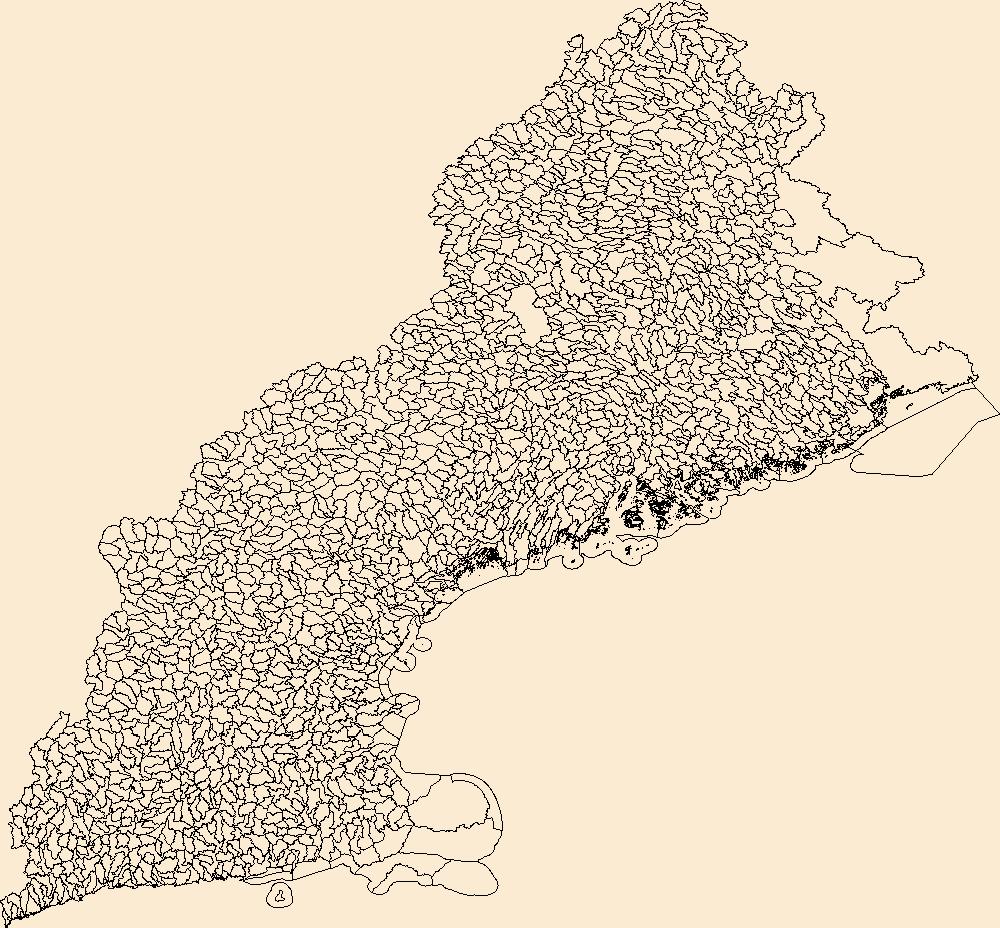
The Watershed Boundary Dataset (WBD) is a comprehensive aggregated collection of hydrologic unit data consistent with the national criteria for delineation and resolution. It defines the areal extent of surface water drainage to a point except in coastal or lake front areas where there could be multiple outlets as stated by the "Federal Standards and Procedures for the National Watershed Boundary Dataset (WBD)" "Standard" (https://pubs.usgs.gov/tm/11/a3/). Watershed boundaries are determined solely upon science-based hydrologic principles, not favoring any administrative boundaries or special projects, nor particular program or agency. This dataset represents the hydrologic unit boundaries to the 12-digit (6th level)...
|

|
