Filters: Tags: Counties (X) > partyWithName: National Atlas of the United States (X)
3 results (9ms)|
Filters
Date Range
Types Contacts Tag Types Tag Schemes
|
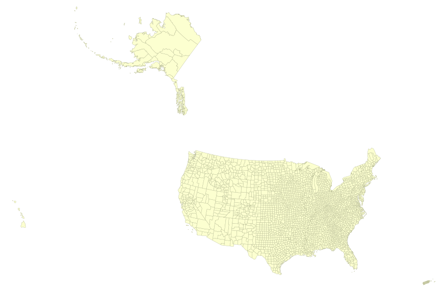
USGS Small-scale Dataset - 1:1,000,000-Scale County Boundaries of the United States 201403 Shapefile
This map layer portrays the county boundaries of the United States, Puerto Rico, and the U.S. Virgin Islands, by showing the counties as areas. The map layer was created by extracting county polygon features from the CENSUS 2006 TIGER/Line files produced by the U.S. Census Bureau. These files were then merged into a single file. This is a revised version of the July 2012 map layer.

This map layer portrays the county boundaries of the United States, Puerto Rico, and the U.S. Virgin Islands, by showing the counties as areas. The map layer was created by extracting county polygon features from the CENSUS 2006 TIGER/Line files produced by the U.S. Census Bureau. These files were then merged into a single file. This is a revised version of the July 2012 map layer.
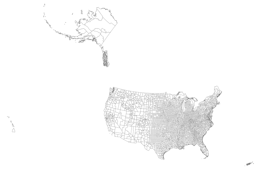
This map layer portrays the county boundaries of the United States, Puerto Rico, and the U.S. Virgin Islands as linework. The map layer was derived from the 1:1,000,000-Scale County Boundaries of the United States polygon data set by applying the Arc/Info Clean function. The Clean function eliminates the duplicate arcs present in polygon shapefiles, leaving one copy of each line.
|

|
