Filters: Tags: Currituck County (X) > Date Range: {"choice":"year"} (X)
5 results (8ms)|
Filters
Date Types (for Date Range)
Contacts
Categories Tag Types Tag Schemes |
This data release contains environmental and quality control results for chemical, biological, and physical sampling of water and bed sediment from Albemarle Sound and associated tributaries between 2012 and 2014 referenced in USGS OFR 2016-1171. Appendix 1 contains all quality control results to characterize the bias and variability of sampling, handling, and analysis of water, phytoplankton, and bed sediment samples. Appendix 2 contains all the chemical, biological, and physical results for water samples collected in July and August of 2012. Appendix 3 contains all the chemical, biological, and physical results for water samples collected from March 2013 to February 2014. Data are included for discrete samples...
These data contain located day-roosts for the northern long-eared bat (Myotis septentrionalis) at the North River Game Land, North Carolina in May and June of 2019. Data contained include individual bat tracked, date day-roost was found, day-roost unique ID, geographic coordinates of day-roost, tree species of day-roost, diameter breast height (cm) of day-roost, day-roost decay-stage, bat roost height, percent of exfoliating bark on day-roost, surrounding canopy closure and day-roost type (live tree or snag).
Categories: Data;
Tags: Camden County,
Coastal Plain,
Currituck County,
North River Game Land,
USGS Science Data Catalog (SDC),
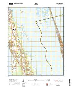
Layered geospatial PDF 7.5 Minute Quadrangle Map. Layers of geospatial data include orthoimagery, roads, grids, geographic names, elevation contours, hydrography, and other selected map features. This map is derived from GIS (geospatial information system) data. It represents a repackaging of GIS data in traditional map form, not creation of new information. The geospatial data in this map are from selected National Map data holdings and other government sources.
The U.S. Geological Survey, in cooperation with the North Carolina Turnpike Authority, conducted a study to establish baseline water-quality conditions and bed-sediment chemistry in Currituck Sound, North Carolina, prior to construction of the Mid-Currituck Bridge. This Data Release contains the associated data described in the Open-File Report, “Characterization of Water-Quality and Bed-Sediment Conditions in Currituck Sound, North Carolina, Prior to the Mid-Currituck Bridge Construction, 2011-18”. These datasets contain information on analytical constituents measured in samples, surface-water environmental and quality-assurance sample results, bed-sediment environmental and quality-assurance sample results, phytoplankton...
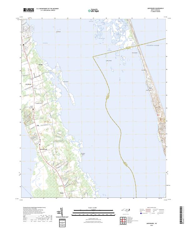
Layered geospatial PDF 7.5 Minute Quadrangle Map. Layers of geospatial data include orthoimagery, roads, grids, geographic names, elevation contours, hydrography, and other selected map features. This map is derived from GIS (geospatial information system) data. It represents a repackaging of GIS data in traditional map form, not creation of new information. The geospatial data in this map are from selected National Map data holdings and other government sources.
|

|
