Filters: Tags: Delaware (X) > Date Range: {"choice":"month"} (X)
20 results (35ms)|
Filters
Date Types (for Date Range)
Types
Contacts
Categories Tag Types
|
Background The North Atlantic Coastal Plain (NACP) covers a land area of approximately 34,000 mi 2 along the eastern seaboard of the United States from Long Island, N.Y., southward to the northern portion of North Carolina. This area is underlain by a thick wedge of sedimentary deposits that form a complex groundwater system in which the sands and gravels function as confined aquifers, and the silts and clays function as confining units. These confined aquifers of the NACP constitute a major source of water for public and domestic supply for the nearly 27 million people living in the region, as well as being important source of water for industrial and agricultural purposes. Increases in population and changes...
Categories: Data,
Project;
Types: Downloadable,
Map Service,
OGC WFS Layer,
OGC WMS Layer,
Shapefile;
Tags: Cooperative Water Program,
Delaware,
Focused Assessments,
Focused Assessments,
Focused Assessments,
This data release contains three 10-meter resolution GeoTIFFs representing 10-meter (35-foot), 30-meter (100-foot) and 90-meter (300-foot) riparian buffer zones along shorelines, rivers, streams, and other lotic (flowing) water features. The layers are binary, where the value of each cell represents the presence or absence of the buffer zone. In addition, the data release contains shapefile layers that document the extent of corrections that were made to the data to address errors in the stream network (see processing steps section for more details). The methodology combines various fine-scale input layers, including a 1:24k stream network and Chesapeake Bay 1-meter resolution Land Use/Land Cover to approximate...
Types: Map Service,
OGC WFS Layer,
OGC WMS Layer,
OGC WMS Service;
Tags: Chesapeake,
Delaware,
District of Columbia,
Ecology,
Forestry,
As part of a larger study examining stream conditions and the effect of Best Management Practices in the Chesapeake Bay watershed, thirty small streams on the Delmarva Peninsula were instrumented and monitored for gage height (water level), water temperature, and air temperature using Onset HOBO sensors from March to September 2022. In addition, two discrete discharge measurements were made at baseflow at each site. This data release contains four .csv files with time-series for gage height, water temperature, and air temperature for all thirty monitoring locations and a table of discrete discharge measurements and associated field measurement metadata: Delmarva_2022_Continuous_Air_Temperature.csv Delmarva_2022_Continuous_Gage_Height.csv...

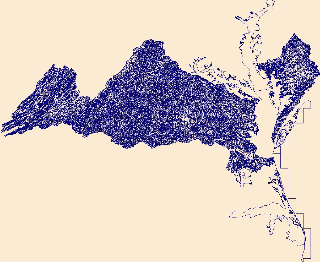
The High Resolution National Hydrography Dataset Plus (NHDPlus HR) is an integrated set of geospatial data layers, including the National Hydrography Dataset (NHD), National Watershed Boundary Dataset (WBD), and 3D Elevation Program Digital Elevation Model (3DEP DEM). The NHDPlus HR combines the NHD, 3DEP DEMs, and WBD to a data suite that includes the NHD stream network with linear referencing functionality, the WBD hydrologic units, elevation-derived catchment areas for each stream segment, "value added attributes" (VAAs), and other features that enhance hydrologic data analysis and routing.
Note: this data release is currently being revised and is temporarily unavailable. This data release is a compilation of the locations of airborne geophysical surveys in the United States. The inventory documents public airborne geophysical surveys primarily flown by or contracted by the USGS from 1943 to present. In addition, surveys from the State of Alaska, Department of Natural Resources, Division of Geological and Geophysical Surveys (DGGS): Airborne GeophysWeb, the Bureau of Land Management, the Department of Energy and other state agencies have also been included. The surveys have contributed to studies under USGS programs including Water, Geologic Mapping, Minerals, Energy, Environmental Health, Ecosystems,...
Categories: Data,
Data Release - Under Revision;
Types: ArcGIS REST Map Service,
ArcGIS Service Definition,
Downloadable,
Map Service;
Tags: Alabama,
Alaska,
Arizona,
Arkansas,
California,
U. S. Geological Survey (USGS) scientists completed a data collection campaign from the 25th of April to the 10th of June in 2022, using various methods to record geomorphic and habitat indicators throughout 30 streams on the Delmarva Peninsula. Field methods included GNSS surveys, gravelometer-based pebble count readings, visual assessments, and riparian analyses. This metadata record contains all raw observations from the campaign as well as numerous summary metrics to be used in model development. Those "model-ready" data can be found in Delmarva_Model_Deliverable.csv in the parent item, while the two child items containing raw in-channel observations and raw survey data. Attached to this release is a data dictionary...
Categories: Data;
Tags: Chesapeake Bay,
Chesapeake Bay,
Delaware,
Delmarva Peninsula,
GPS measurement,
U. S. Geological Survey (USGS) scientists completed a data collection campaign from the 25th of April to the 10th of June in 2022, using various methods to record geomorphic and habitat indicators throughout 30 streams on the Delmarva Peninsula. Field methods included GNSS surveys, gravelometer-based pebble count readings, visual assessments, and riparian analyses. These data contain all raw field metrics from the in-channel habitat assessment as well as the rapid riparian assessment. Any use of trade, firm, or product names is for descriptive purposes only and does not imply endorsement by the U.S. Government.
This model archive provides all data, code, and modeling results used in Barclay and others (2023) to assess the ability of process-guided deep learning stream temperature models to accurately incorporate groundwater-discharge processes. We assessed the performance of an existing process-guided deep learning stream temperature model of the Delaware River Basin (USA) and explored four approaches for improving groundwater process representation: 1) a custom loss function that leverages the unique patterns of air and water temperature coupling resulting from different temperature drivers, 2) inclusion of additional groundwater-relevant catchment attributes, 3) incorporation of additional process model outputs, and...

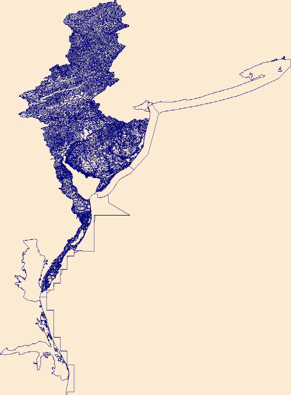
The High Resolution National Hydrography Dataset Plus (NHDPlus HR) is an integrated set of geospatial data layers, including the National Hydrography Dataset (NHD), National Watershed Boundary Dataset (WBD), and 3D Elevation Program Digital Elevation Model (3DEP DEM). The NHDPlus HR combines the NHD, 3DEP DEMs, and WBD to a data suite that includes the NHD stream network with linear referencing functionality, the WBD hydrologic units, elevation-derived catchment areas for each stream segment, "value added attributes" (VAAs), and other features that enhance hydrologic data analysis and routing.
Airborne electromagnetic (AEM) and magnetic survey data were collected during July and August 2022 over a distance of 3,588.5 line kilometers covering Delaware Bay and surrounding regipons in New Jersey and Delaware. Data were collected as part of the USGS Delaware River Basin Next Generation Water Observing Systems (NGWOS) project to improve understanding of groundwater salinity distributions near Delaware Bay. The survey was primarily funded by the USGS, with partial support through collaboration with the University of Delaware to extend data collection to parts of Rehoboth Bay and Indian River Bay. Data were acquired by SkyTEM Canada Inc. with the SkyTEM 304M time-domain helicopter-borne electromagnetic system...
Categories: Data;
Types: Citation,
Downloadable,
Map Service,
OGC WFS Layer,
OGC WMS Layer,
Shapefile;
Tags: "Hydrology"],
"Water Quality",
Cape May County,
Cumberland County,
Delaware,
U. S. Geological Survey (USGS) scientists completed a stream surveying campaign from the 25th of April to the 10th of June in 2022 at 100m reaches throughout 30 streams on the Delmarva Peninsula. The goal was to collect three cross sections, water surface elevation at the top and bottom of each reach, and thalweg point data at each study location to use the geomorphological surveys alongside habitat information. Together, these two sources of data can be used to create a habitat assessment of Delmarva Peninsula streams. Any use of trade, firm, or product names is for descriptive purposes only and does not imply endorsement by the U.S. Government.
Categories: Data;
Tags: Chesapeake Bay,
Chesapeake Bay,
Delaware,
Delmarva Peninsula,
GPS measurement,
This service definition contains landscape factors representing human disturbances summarized to local and network catchments of river reaches for the state of Arizona. This dataset is the result of clipping the feature class 'NFHAP 2010 HCI Scores and Human Disturbance Data for the Conterminous United States linked to NHDPLUSV1.gdb' to the state boundary of Arizona. Landscape factors include land uses, population density, roads, dams, mines, and point-source pollution sites. The source datasets that were compiled and attributed to catchments were identified as being: (1) meaningful for assessing fish habitat; (2) consistent across the entire study area in the way that they were assembled; (3) representative of...
Categories: Data;
Types: ArcGIS REST Map Service,
ArcGIS Service Definition,
Downloadable,
Map Service;
Tags: Anthropogenic factors,
Anthropogenic factors,
Aquatic habitats,
Aquatic habitats,
Atlantic Coast FHP,
This service definition contains landscape factors representing human disturbances summarized to local and network catchments of river reaches for the state of Connecticut. This dataset is the result of clipping the feature class 'NFHAP 2010 HCI Scores and Human Disturbance Data for the Conterminous United States linked to NHDPLUSV1.gdb' to the state boundary of Connecticut. Landscape factors include land uses, population density, roads, dams, mines, and point-source pollution sites. The source datasets that were compiled and attributed to catchments were identified as being: (1) meaningful for assessing fish habitat; (2) consistent across the entire study area in the way that they were assembled; (3) representative...
Categories: Data;
Types: ArcGIS REST Map Service,
ArcGIS Service Definition,
Downloadable,
Map Service;
Tags: Anthropogenic factors,
Aquatic habitats,
Atlantic Coast FHP,
Catchment areas,
Connecticut,
This map layer contains the shallowest principal aquifers of the conterminous United States, Hawaii, Puerto Rico, and the U.S. Virgin Islands, portrayed as polygons. The map layer was developed as part of the effort to produce the maps published at 1:2,500,000 in the printed series "Ground Water Atlas of the United States". The published maps contain base and cultural features not included in these data. This is a replacement for the July 1998 map layer called Principal Aquifers of the 48 Conterminous United States.
This service definition contains landscape factors representing human disturbances summarized to local and network catchments of river reaches for the state of Colorado. This dataset is the result of clipping the feature class 'NFHAP 2010 HCI Scores and Human Disturbance Data for the Conterminous United States linked to NHDPLUSV1.gdb' to the state boundary of Colorado. Landscape factors include land uses, population density, roads, dams, mines, and point-source pollution sites. The source datasets that were compiled and attributed to catchments were identified as being: (1) meaningful for assessing fish habitat; (2) consistent across the entire study area in the way that they were assembled; (3) representative of...
Categories: Data;
Types: ArcGIS REST Map Service,
ArcGIS Service Definition,
Downloadable,
Map Service;
Tags: Anthropogenic factors,
Aquatic habitats,
Atlantic Coast FHP,
Catchment areas,
Connecticut,
This service definition contains landscape factors representing human disturbances summarized to local and network catchments of river reaches for the state of Arkansas. This dataset is the result of clipping the feature class 'NFHAP 2010 HCI Scores and Human Disturbance Data for the Conterminous United States linked to NHDPLUSV1.gdb' to the state boundary of Arkansas. Landscape factors include land uses, population density, roads, dams, mines, and point-source pollution sites. The source datasets that were compiled and attributed to catchments were identified as being: (1) meaningful for assessing fish habitat; (2) consistent across the entire study area in the way that they were assembled; (3) representative of...
Categories: Data;
Types: ArcGIS REST Map Service,
ArcGIS Service Definition,
Downloadable,
Map Service;
Tags: Anthropogenic factors,
Anthropogenic factors,
Aquatic habitats,
Aquatic habitats,
Atlantic Coast FHP,
The release of elements of concern (EoC) to surface water can involve both natural and anthropogenic sources. Elevated EoC concentrations can pose a risk to human health, wildlife, and ecosystem health, with the modes of toxicity and extent of risk varying as a function of the specific element, its chemical form and the matrix with which it is associated (for example, dissolved versus particulate). As part of the U.S. Geological Survey (USGS) Water Mission Area (WMA) Water Quality Processes Program, the Proxies (Surrogate) Project was created, in part, to develop models that can be used to estimate the concentration of EoC in riverine surface water at spatial scales ranging from (sub)basin to multi-basin. Three...
Categories: Data;
Tags: Delaware,
Illinois,
Integrated Water Science,
USGS Science Data Catalog (SDC),
Upper Colorado,
This service definition contains landscape factors representing human disturbances summarized to local and network catchments of river reaches for the state of Delaware. This dataset is the result of clipping the feature class 'NFHAP 2010 HCI Scores and Human Disturbance Data for the Conterminous United States linked to NHDPLUSV1.gdb' to the state boundary of Delaware. Landscape factors include land uses, population density, roads, dams, mines, and point-source pollution sites. The source datasets that were compiled and attributed to catchments were identified as being: (1) meaningful for assessing fish habitat; (2) consistent across the entire study area in the way that they were assembled; (3) representative of...
Categories: Data;
Types: ArcGIS REST Map Service,
ArcGIS Service Definition,
Downloadable,
Map Service;
Tags: Anthropogenic factors,
Aquatic habitats,
Atlantic Coast FHP,
Catchment areas,
Connecticut,
Following Hurricane Sandy, the USGS began construction of an overland Surge, Wave, and Tide Hydrodynamics (SWaTH) Network along the Northeastern Atlantic Coast from North Carolina to Maine. This network, developed collaboratively with numerous partners, features the integration of long-term tide gage networks, with real-time rapid-deployment gages (RDG) and mobile storm-tide sensors (STS). An element of the comprehensive strategy of SWaTH ensures that locations for most RDGs and STSs have been presurveyed to the North American Vertical Datum of 1988 (NAVD 88) and equipped with receiving brackets. This permits rapid deployment and recovery of instrumentation and data dissemination in the hours and days immediately...
Categories: Data,
Project;
Types: Downloadable,
Map Service,
OGC WFS Layer,
OGC WMS Layer,
Shapefile;
Tags: Coastal Science,
Coastal Science,
Delaware,
Delaware River Basin,
Hydrologic Networks and Analysis,

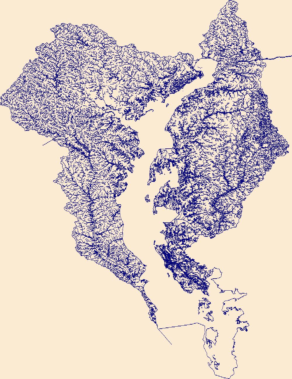
The High Resolution National Hydrography Dataset Plus (NHDPlus HR) is an integrated set of geospatial data layers, including the National Hydrography Dataset (NHD), National Watershed Boundary Dataset (WBD), and 3D Elevation Program Digital Elevation Model (3DEP DEM). The NHDPlus HR combines the NHD, 3DEP DEMs, and WBD to a data suite that includes the NHD stream network with linear referencing functionality, the WBD hydrologic units, elevation-derived catchment areas for each stream segment, "value added attributes" (VAAs), and other features that enhance hydrologic data analysis and routing.
|

|