Filters
Date Range
Extensions
Types
Contacts
Categories
Tag Types
Tag Schemes
|

Assessment Executive Summary: In the past decade there has been increased interest in providing water to meet the needs of riparian and aquatic ecosystems in the western United States and policymakers are using their knowledge of environmental flow needs to advocate for both political and scientific changes. However, there are significant challenges associated with including environmental flows in water management and planning. First, water rights for environmental flows are not universal, and in many cases legal tools used to incorporate the environment into water management and planning only require new users to consider their impact to water in the environment. Second, it can be difficult to include the needs...
Categories: Data;
Types: Map Service,
OGC WFS Layer,
OGC WMS Layer,
OGC WMS Service;
Tags: Aquascalientes,
Arizona,
Baja California,
California,
Chihuahua, All tags...
Coahuila,
Data Acquisition and Development,
Data Management and Integration,
Data.gov Desert LCC,
Desert LCC (all),
Dos Rios Pilot Area,
Durango,
EARTH SCIENCE > BIOSPHERE > ECOSYSTEMS > FRESHWATER ECOSYSTEMS > RIVERS/STREAM,
Eastern Mojave Desert Pilot Area,
Federal resource managers,
Guanajuato,
Jalisco,
LCC Network Science Catalog,
Madrean Watersheds Pilot Area,
Mexico,
Nayarit,
Nevada,
New Mexico,
Nuevo León,
Querétaro,
Report,
Report,
San Luis Potosi,
Sinaloa,
Sonora,
Tamaulipas,
Texas,
United States,
Utah,
Zacatecas,
completed,
inlandWaters,
product, Fewer tags

Riparian ecosystems are among the most productive and diverse ecosystems in desert biomes. In the Sonoran, Chihuahuan, and Mojave deserts of the United States and Mexico, riparian ecosystems support regional biodiversity and provide many ecosystem services to human communities. Due to the dynamic nature of these ecosystems and their abundance of resources, riparian areas have been modified in various ways and to a large extent through human endeavor to manage water and accommodate various land uses, particularly in lowland floodplains and stream channels. Modifications often interfere with multiple and complex ecological processes, resulting in the loss of native riparian vegetation and increasing vulnerability...
Categories: Data,
Project;
Types: Map Service,
OGC WFS Layer,
OGC WMS Layer,
OGC WMS Service;
Tags: 2013,
AZ-01,
AZ-02,
AZ-03,
AZ-04, All tags...
AZ-05,
AZ-06,
AZ-07,
AZ-08,
AZ-09,
Aquascalientes,
Arizona,
Baja California,
Big Bend ‐ Río Bravo & Lower Río Conchos Pilot Area,
CA-08,
CA-23,
CA-25,
CA-27,
CA-36,
CA-50,
CA-51,
California,
Chihuahua,
Coahuila,
Desert LCC (all),
Desert Landscape Conservation Cooperative,
Durango,
EARTH SCIENCE > BIOSPHERE > ECOLOGICAL DYNAMICS > FIRE ECOLOGY,
Federal resource managers,
Guanajuato,
Informing Conservation Delivery,
Jalisco,
LCC,
LCC Network Science Catalog,
Mexico,
Mojave Desert Pilot Area,
NM-02,
NV-01,
NV-03,
NV-04,
Nayarit,
Nevada,
New Mexico,
Northern Mexico,
Nuevo León,
Project,
Querétaro,
Report,
San Luis Potosi,
Sinaloa,
Sonora,
Southwest US,
TX-16,
TX-23,
Tamaulipas,
Texas,
Transboundary Madrean Watersheds Pilot Area,
UT-02,
United States,
Utah,
Zacatecas,
biota,
completed,
fire,
riparian ecosystems, Fewer tags
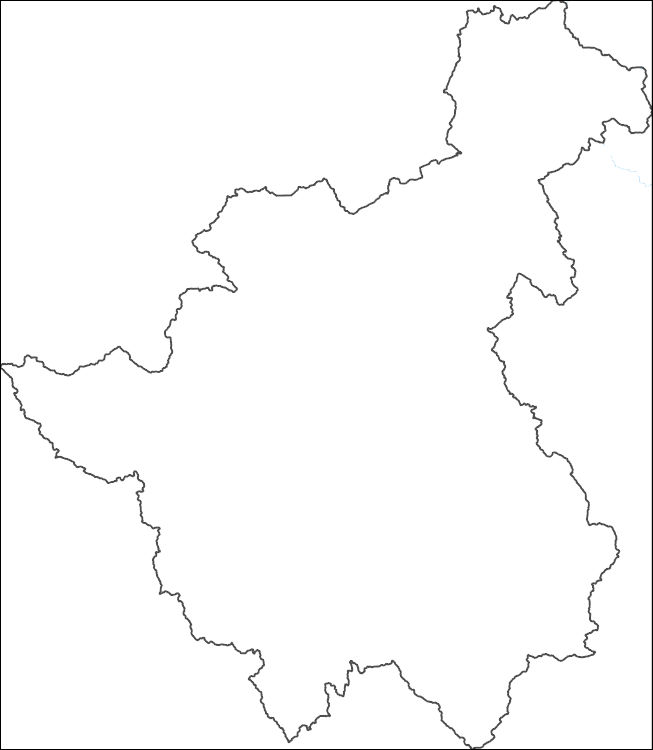
The National Hydrography Dataset (NHD) is a feature-based database that interconnects and uniquely identifies the stream segments or reaches that make up the nation's surface water drainage system. NHD data was originally developed at 1:100,000-scale and exists at that scale for the whole country. This high-resolution NHD, generally developed at 1:24,000/1:12,000 scale, adds detail to the original 1:100,000-scale NHD. (Data for Alaska, Puerto Rico and the Virgin Islands was developed at high-resolution, not 1:100,000 scale.) Local resolution NHD is being developed where partners and data exist. The NHD contains reach codes for networked features, flow direction, names, and centerline representations for areal water...
Tags: Administrative watershed units,
Administrative watershed units,
Area of Complex Channels,
Area to be submerged,
Basin, All tags...
Basin,
Bay/Inlet,
Boundaries,
Boundary,
Bridge,
Canal/Ditch,
Chihuahua,
Coastline,
Connector,
Dam/Weir,
Downloadable Data,
Drainage areas for surface water,
Drainageway,
Durango,
Estuary,
Flow direction network,
Flume,
ForeShore,
Gaging Station,
Gate,
GeoPackage,
HU-8,
HU-8 Subbasin,
HU10,
HU12,
HU14,
HU16,
HU2,
HU4,
HU6,
HU8,
HU8_13100000,
HUC,
Hazard Zone,
Hydrographic,
Hydrography,
Hydrography,
Hydrography,
Hydrologic Unit Code,
Hydrologic Units,
Ice mass,
Inundation Area,
Levee,
Line,
Lock Chamber,
MX,
Marsh,
Mexico,
National Hydrography Dataset (NHD),
National Hydrography Dataset (NHD) Best Resolution,
National Hydrography Dataset (NHD) Best Resolution,
Nonearthen Shore,
Open Geospatial Consortium GeoPackage 1.2,
Orthoimage,
Playa,
Point,
PointEvent,
Pond,
Rapids,
Rapids,
Reach,
Reach code,
Reef,
Region,
Reservoir,
Rock,
Sea/Ocean,
Sink/Rise,
Sounding Datum Line,
Special Use Zone,
Special Use Zone Limit,
Spillway,
Stream,
Stream/River,
Sub-basin,
Sub-region,
Subbasin,
Submerged Stream,
Subregion,
Subwatershed,
Surface water systems,
Swamp,
Topographic,
Tunnel,
Underground Conduit,
WBD,
WBD,
Wall,
Wash,
Water Intake Outflow,
Waterfall,
Watershed,
Watershed Boundaries,
Watershed Boundary Dataset,
Watershed Boundary Dataset,
Well,
artificial path,
boundaries,
dams,
drainage systems and characteristics,
inlandWaters,
lakes,
ngda,
rivers, Fewer tags
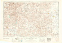
USGS Historical Quadrangle in GeoPDF.
Tags: 1 x 2 degree,
CO,
Downloadable Data,
Durango,
GeoPDF, All tags...
GeoTIFF,
Historical Topographic Maps,
Historical Topographic Maps 1 x 2 Degree Map Series,
Map,
imageryBaseMapsEarthCover, Fewer tags

Cell maps for each oil and gas assessment unit were created by the USGS as a method for illustrating the degree of exploration, type of production, and distribution of production in an assessment unit or province. A cell map was not created for the Menefee Coal-Bed Gas (50220381) assessment unit because it was considered a hypothetical assessment unit. The Mesaverde Updip oil had production wells associated with it but resource totals were below the minimum and wasn't quantitatively assessed. Each cell represents a quarter-mile square of the land surface, and the cells are coded to represent whether the wells included within the cell are predominantly oil-producing, gas-producing, both oil and gas-producing, dry,...
Categories: Data,
pre-SM502.8;
Types: Downloadable,
Map Service,
OGC WFS Layer,
OGC WMS Layer,
Shapefile;
Tags: 22 = San Juan Basin,
502201 = Fruitland,
50220101 = Tertiary Conventional Gas,
50220161 = Pictured Cliffs Continuous Gas,
50220181 = Fruitland Fairway Coalbed Gas, All tags...
50220182 = Basin Fruitland Coalbed Gas,
502202 = Lewis,
50220261 = Lewis Continuous Gas,
502203 = Mancos-Menefee Composite,
50220301 = Mesaverde Updip Conventional Oil,
50220302 = Gallup Sandstone Conventional Oil and Gas,
50220303 = Mancos Sandstone Conventional Oil and Gas,
50220304 = Dakota-Greenhorn Conventional Oil and Gas,
50220361 = Mesaverde Central-Basin Continuous Gas,
50220362 = Mancos Sandstone Continuous Gas,
50220363 = Dakota-Greenhorn Continuous Gas,
50220381 = Menefee Coalbed Gas,
502204 = Todilto,
50220401 = Entrada Sandstone Conventional Oil,
Albuquerque,
Archelleta Arch,
Assessment Unit,
CO,
Cells,
Chaco Slope,
Coalbed methane resources,
Durango,
Earth Science,
Economic geology,
Energy Resources,
Farmington,
Four Corners,
Gas hydrate resources,
Geology,
Hogback Monocline,
NM,
National Assessment of Oil and Gas,
Natural Gas,
Natural Resources,
Natural gas resources,
Oil,
Oil sand resources,
Oil shale resources,
Resource Assessment,
Ridgely, Jennie,
San Juan Basin,
U.S. Geological Survey,
US08 = Colorado,
US35 = New Mexico,
USGS,
USGS Science Data Catalog (SDC),
USGS World Energy Region 5,
USGS World Energy Region 5,
United States,
geoscientificInformation,
noga2000,
nogasanjuan,
oilgas, Fewer tags
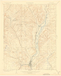
USGS Historical Quadrangle in GeoPDF.
Tags: 15 x 15 minute,
CO,
Downloadable Data,
Durango,
GeoPDF, All tags...
GeoTIFF,
Historical Topographic Maps,
Historical Topographic Maps 15 x 15 Minute Map Series,
Map,
imageryBaseMapsEarthCover, Fewer tags
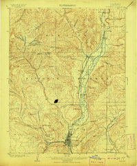
USGS Historical Quadrangle in GeoPDF.
Tags: 15 x 15 minute,
CO,
Downloadable Data,
Durango,
GeoPDF, All tags...
GeoTIFF,
Historical Topographic Maps,
Historical Topographic Maps 15 x 15 Minute Map Series,
Map,
imageryBaseMapsEarthCover, Fewer tags
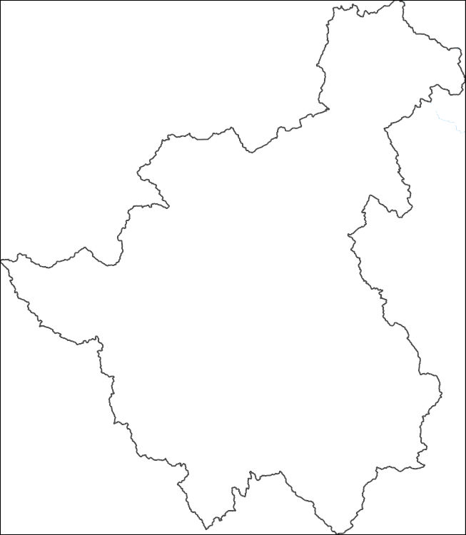
The National Hydrography Dataset (NHD) is a feature-based database that interconnects and uniquely identifies the stream segments or reaches that make up the nation's surface water drainage system. NHD data was originally developed at 1:100,000-scale and exists at that scale for the whole country. This high-resolution NHD, generally developed at 1:24,000/1:12,000 scale, adds detail to the original 1:100,000-scale NHD. (Data for Alaska, Puerto Rico and the Virgin Islands was developed at high-resolution, not 1:100,000 scale.) Local resolution NHD is being developed where partners and data exist. The NHD contains reach codes for networked features, flow direction, names, and centerline representations for areal water...
Tags: Administrative watershed units,
Administrative watershed units,
Area of Complex Channels,
Area to be submerged,
Basin, All tags...
Basin,
Bay/Inlet,
Boundaries,
Boundary,
Bridge,
Canal/Ditch,
Chihuahua,
Coastline,
Connector,
Dam/Weir,
Downloadable Data,
Drainage areas for surface water,
Drainageway,
Durango,
Esri Shapefile nan,
Estuary,
Flow direction network,
Flume,
ForeShore,
Gaging Station,
Gate,
HU-8,
HU-8 Subbasin,
HU10,
HU12,
HU14,
HU16,
HU2,
HU4,
HU6,
HU8,
HU8_13100000,
HUC,
Hazard Zone,
Hydrographic,
Hydrography,
Hydrography,
Hydrography,
Hydrologic Unit Code,
Hydrologic Units,
Ice mass,
Inundation Area,
Levee,
Line,
Lock Chamber,
MX,
Marsh,
Mexico,
National Hydrography Dataset (NHD),
National Hydrography Dataset (NHD) Best Resolution,
National Hydrography Dataset (NHD) Best Resolution,
Nonearthen Shore,
Orthoimage,
Playa,
Point,
PointEvent,
Pond,
Rapids,
Rapids,
Reach,
Reach code,
Reef,
Region,
Reservoir,
Rock,
Sea/Ocean,
Shapefile,
Sink/Rise,
Sounding Datum Line,
Special Use Zone,
Special Use Zone Limit,
Spillway,
Stream,
Stream/River,
Sub-basin,
Sub-region,
Subbasin,
Submerged Stream,
Subregion,
Subwatershed,
Surface water systems,
Swamp,
Topographic,
Tunnel,
Underground Conduit,
WBD,
WBD,
Wall,
Wash,
Water Intake Outflow,
Waterfall,
Watershed,
Watershed Boundaries,
Watershed Boundary Dataset,
Watershed Boundary Dataset,
Well,
artificial path,
boundaries,
dams,
drainage systems and characteristics,
inlandWaters,
lakes,
ngda,
rivers, Fewer tags
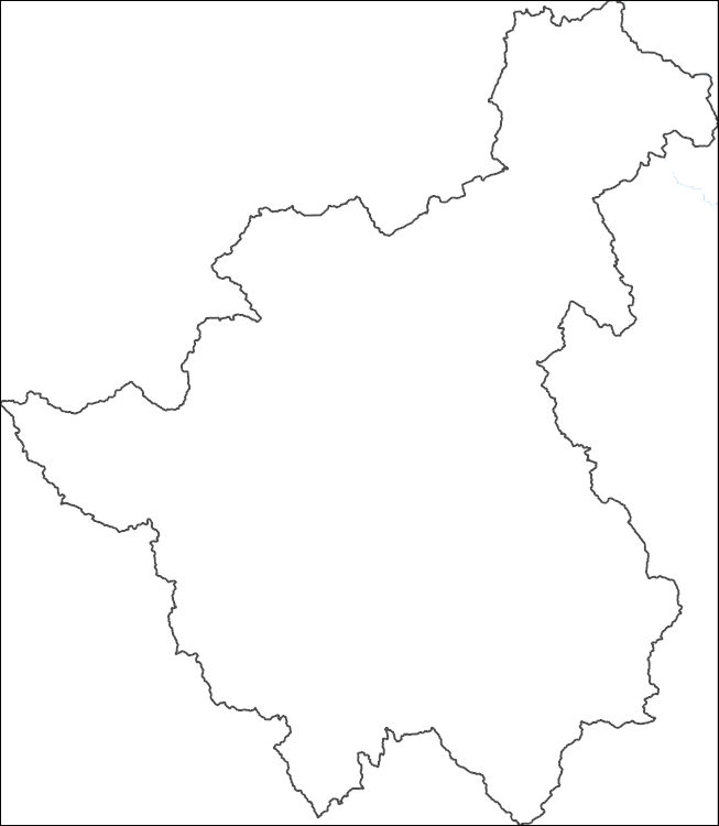
The National Hydrography Dataset (NHD) is a feature-based database that interconnects and uniquely identifies the stream segments or reaches that make up the nation's surface water drainage system. NHD data was originally developed at 1:100,000-scale and exists at that scale for the whole country. This high-resolution NHD, generally developed at 1:24,000/1:12,000 scale, adds detail to the original 1:100,000-scale NHD. (Data for Alaska, Puerto Rico and the Virgin Islands was developed at high-resolution, not 1:100,000 scale.) Local resolution NHD is being developed where partners and data exist. The NHD contains reach codes for networked features, flow direction, names, and centerline representations for areal water...
Tags: Administrative watershed units,
Administrative watershed units,
Area of Complex Channels,
Area to be submerged,
Basin, All tags...
Basin,
Bay/Inlet,
Boundaries,
Boundary,
Bridge,
Canal/Ditch,
Chihuahua,
Coastline,
Connector,
Dam/Weir,
Downloadable Data,
Drainage areas for surface water,
Drainageway,
Durango,
Esri Shapefile nan,
Estuary,
Flow direction network,
Flume,
ForeShore,
Gaging Station,
Gate,
HU-4,
HU-4 Subregion,
HU10,
HU12,
HU14,
HU16,
HU2,
HU4,
HU4_1310,
HU6,
HU8,
HUC,
Hazard Zone,
Hydrographic,
Hydrography,
Hydrography,
Hydrography,
Hydrologic Unit Code,
Hydrologic Units,
Ice mass,
Inundation Area,
Levee,
Line,
Lock Chamber,
MX,
Marsh,
Mexico,
National Hydrography Dataset (NHD),
National Hydrography Dataset (NHD) Best Resolution,
National Hydrography Dataset (NHD) Best Resolution,
Nonearthen Shore,
Orthoimage,
Playa,
Point,
PointEvent,
Pond,
Rapids,
Rapids,
Reach,
Reach code,
Reef,
Region,
Reservoir,
Rock,
Sea/Ocean,
Shapefile,
Sink/Rise,
Sounding Datum Line,
Special Use Zone,
Special Use Zone Limit,
Spillway,
Stream,
Stream/River,
Sub-basin,
Sub-region,
Subbasin,
Submerged Stream,
Subregion,
Subwatershed,
Surface water systems,
Swamp,
Topographic,
Tunnel,
Underground Conduit,
WBD,
WBD,
Wall,
Wash,
Water Intake Outflow,
Waterfall,
Watershed,
Watershed Boundaries,
Watershed Boundary Dataset,
Watershed Boundary Dataset,
Well,
artificial path,
boundaries,
dams,
drainage systems and characteristics,
inlandWaters,
lakes,
ngda,
rivers, Fewer tags
USGS Historical Quadrangle in GeoPDF.
Tags: 1 x 2 degree,
CO,
Downloadable Data,
Durango,
GeoPDF, All tags...
GeoTIFF,
Historical Topographic Maps,
Historical Topographic Maps 1 x 2 Degree Map Series,
Map,
imageryBaseMapsEarthCover, Fewer tags
USGS Historical Quadrangle in GeoPDF.
Tags: 15 x 15 minute,
CO,
Downloadable Data,
Durango,
GeoPDF, All tags...
GeoTIFF,
Historical Topographic Maps,
Historical Topographic Maps 15 x 15 Minute Map Series,
Map,
imageryBaseMapsEarthCover, Fewer tags
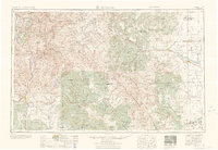
USGS Historical Quadrangle in GeoPDF.
Tags: 1 x 2 degree,
CO,
Downloadable Data,
Durango,
GeoPDF, All tags...
GeoTIFF,
Historical Topographic Maps,
Historical Topographic Maps 1 x 2 Degree Map Series,
Map,
imageryBaseMapsEarthCover, Fewer tags
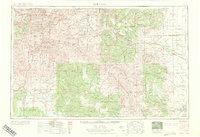
USGS Historical Quadrangle in GeoPDF.
Tags: 1 x 2 degree,
CO,
Downloadable Data,
Durango,
GeoPDF, All tags...
GeoTIFF,
Historical Topographic Maps,
Historical Topographic Maps 1 x 2 Degree Map Series,
Map,
imageryBaseMapsEarthCover, Fewer tags

This data release presents geologic map data for the surficial geology of the Durango 1-degree by 2-degree quadrangle and adjacent areas along the northern boundary of the quadrangle. The map area lies within two physiographic provinces of Fenneman (1928): the Southern Rocky Mountains province, and the Colorado Plateau province, Navajo section. Geologic mapping is mostly compiled from published geologic map data sources ranging from 1:24,000 to 1:250,000 scale, with limited new interpretive contributions. Gaps in map compilation are related to a lack of published geologic mapping, and not necessarily a lack of surficial deposits. Much of the geology incorporated from published geologic maps is adjusted based on...
Categories: Data;
Types: Map Service,
OGC WFS Layer,
OGC WMS Layer,
OGC WMS Service;
Tags: Alluvium,
Animas River,
Colluvium,
Colorado,
Durango, All tags...
Eolian deposits,
Fault,
Geologic map,
Geomorphology,
Glacial deposits,
Groundwater and spring-discharge deposits,
Los Pinos River,
Mass-wasting deposits,
Playa, lake, and wetland deposits,
Rio Grande,
San Juan Mountains,
San Juan River,
San Luis Valley,
Sedimentology,
Stratigraphy,
Structural Geology,
USGS Science Data Catalog (SDC), Fewer tags
|
|


