Filters: Tags: Durham County (X)
91 results (46ms)|
Filters
Date Range
Types Contacts
Categories Tag Types Tag Schemes |
Layers of geospatial data include contours, boundaries, land cover, hydrography, roads, transportation, geographic names, structures, and other selected map features.
Types: Citation;
Tags: 7.5 x 7.5 minute,
7_5_Min,
Combined Vector,
Combined Vector,
Combined Vector,
These datasets contain information used to compile the report (USGS OFR 2019-1077). It contains water-quality data, analytical results of field blanks, and analytical results for environmental and replicate sample sets for surface-water samples collected during water years 2016 and 2017 for the Triangle Area Water Supply Monitoring Program (TAWSMP).
The U.S. Geological Survey and a consortium of local governments in North Carolina have partnered together to track water quality and quantity conditions in several of the area’s water-supply reservoirs and streams, known as the Triangle Area Water Supply Monitoring Project (TAWSMP). This data release contains the associated data described in the Open-File Report, "Triangle Area Water Supply Monitoring Project, North Carolina-Overview of Hydrologic and Water-Quality Monitoring Activities and Data Quality Assurance". These datasets were collected during October 2019 - September 2022 (Water Years 2020-2022). The data release includes nine items: [Triangle_2020_22_Figure_1.pdf]: This figure shows site locations and...
Categories: Data;
Tags: Chatham County,
Durham County,
North Carolina,
Orange County,
USGS Science Data Catalog (SDC),
The U.S. Geological Survey, in cooperation with Wake County Environmental Services, initiated a comprehensive groundwater resource investigation to better understand the quantity and quality of groundwater in Wake County, North Carolina. In 2020, as part of the investigation, groundwater records were compiled electronically from 7,689 wells in and within five miles of Wake County and groundwater yield data was interpolated to estimate maximum well yield across the county. Maximum well yield values estimate the maximum well yield possible at a given location; the maximum well yield is not guaranteed and actual well yield likely falls within the range of 0 and the maximum well yield value. This data release includes...
Categories: Data;
Types: Map Service,
OGC WFS Layer,
OGC WMS Layer,
OGC WMS Service;
Tags: Chatham County,
Durham County,
Franklin County,
Granville County,
Groundwater,

Layers of geospatial data include contours, boundaries, land cover, hydrography, roads, transportation, geographic names, structures, and other selected map features.
Layers of geospatial data include contours, boundaries, land cover, hydrography, roads, transportation, geographic names, structures, and other selected map features.
Layers of geospatial data include contours, boundaries, land cover, hydrography, roads, transportation, geographic names, structures, and other selected map features.
Layers of geospatial data include contours, boundaries, land cover, hydrography, roads, transportation, geographic names, structures, and other selected map features.
Types: Citation;
Tags: 7.5 x 7.5 minute,
7_5_Min,
Combined Vector,
Combined Vector,
Combined Vector,

Layers of geospatial data include contours, boundaries, land cover, hydrography, roads, transportation, geographic names, structures, and other selected map features.
Types: Citation;
Tags: 7.5 x 7.5 minute,
7_5_Min,
Combined Vector,
Combined Vector,
Combined Vector,

These vector contour lines are derived from the 3D Elevation Program using automated and semi-automated processes. They were created to support 1:24,000-scale CONUS and Hawaii, 1:25,000-scale Alaska, and 1:20,000-scale Puerto Rico / US Virgin Island topographic map products, but are also published in this GIS vector format. Contour intervals are assigned by 7.5-minute quadrangle, so this vector dataset is not visually seamless across quadrangle boundaries. The vector lines have elevation attributes (in feet above mean sea level on NAVD88), but this dataset does not carry line symbols or annotation.
As part of the Triangle Area Water Supply Monitoring Program, the U.S. Geological Survey conducted a study to evaluate the occurrence and distribution of mercury in 14 streams and 15 reservoirs in the Triangle area of North Carolina. This Data Release contains the associated data described in the Scientific Investigations Report, "Occurrence and Distribution of Mercury in Streams and Reservoirs in the Triangle Area of North Carolina, July 2007 – June 2009". Water samples were collected seasonally between July 2007 and June 2009 for laboratory analysis of mercury, organic carbon, chlorophyll a, sulfate, and suspended sediment. Field measurements of dissolved oxygen, pH, water temperature, and specific conductance...
Categories: Data;
Tags: Aquatic Biology,
Chatham County,
Durham County,
Environmental Health,
Hydrology,
The dataset contains the environmental data collected for the Triangle Area Water Supply Monitoring Project. The data are from the samples collected during routine and storm-runoff sampling events during October 2015 through September 2017. Several study sites contained in this dataset were sampled for other USGS projects during the same time frame. Unless the samples at these sites were collected in conjunction with the Triangle Area Water Supply Monitoring Project, the data for other projects at these sites are not included in this dataset.
The dataset contains the environmental data collected for the Triangle Area Water Supply Monitoring Project. The data are from the samples collected during routine and storm-runoff sampling events during October 2011 through September 2013. Several study sites contained in this dataset were sampled for other USGS projects during the same time frame. Unless the samples at these sites were collected in conjunction with the Triangle Area Water Supply Monitoring Project, the data for other projects at these sites are not included in this dataset.
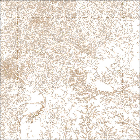
These vector contour lines are derived from the 3D Elevation Program using automated and semi-automated processes. They were created to support 1:24,000-scale CONUS and Hawaii, 1:25,000-scale Alaska, and 1:20,000-scale Puerto Rico / US Virgin Island topographic map products, but are also published in this GIS vector format. Contour intervals are assigned by 7.5-minute quadrangle, so this vector dataset is not visually seamless across quadrangle boundaries. The vector lines have elevation attributes (in feet above mean sea level on NAVD88), but this dataset does not carry line symbols or annotation.
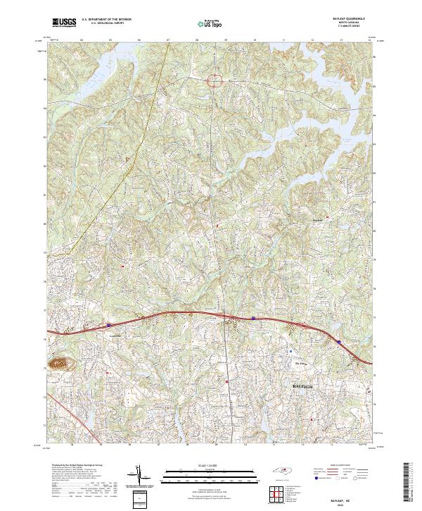
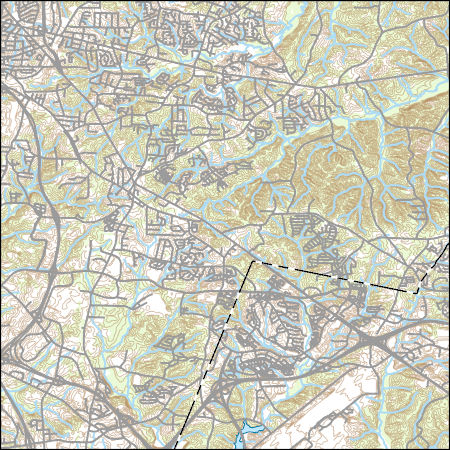
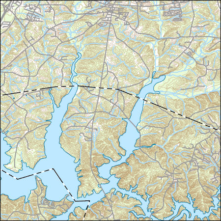
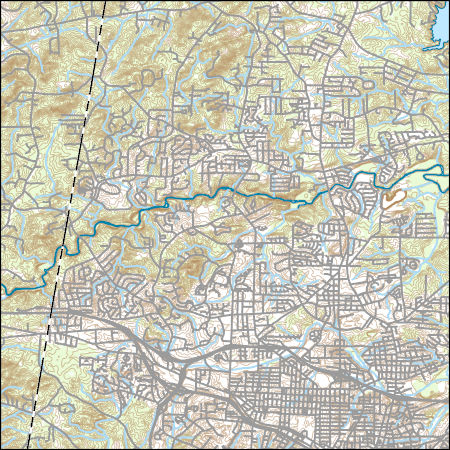
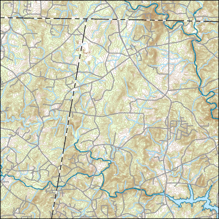
Layered geospatial PDF 7.5 Minute Quadrangle Map. Layers of geospatial data include orthoimagery, roads, grids, geographic names, elevation contours, hydrography, and other selected map features. This map is derived from GIS (geospatial information system) data. It represents a repackaging of GIS data in traditional map form, not creation of new information. The geospatial data in this map are from selected National Map data holdings and other government sources.
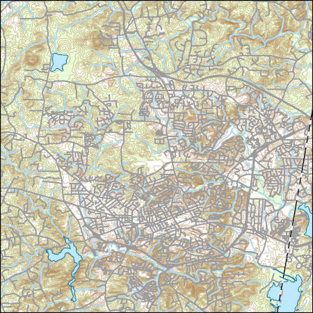
Layers of geospatial data include contours, boundaries, land cover, hydrography, roads, transportation, geographic names, structures, and other selected map features.
Types: Citation;
Tags: 7.5 x 7.5 minute,
7_5_Min,
Combined Vector,
Combined Vector,
Combined Vector,
This U.S. Geological Survey Data Release contains the associated data described in the Scientific Investigations Report, "Trends in water quality of selected streams and reservoirs used for water supply in the Triangle area of North Carolina, 1989-2013". Since 1989, the U.S. Geological Survey and a consortium of local governments have tracked water-quality conditions and trends in the water-supply reservoirs and streams in the Triangle area of North Carolina located within the upper Cape Fear and Neuse River Basins. Temporal trends in water-quality were analyzed for thirteen stream and eight reservoir sites. Seventeen water-quality parameters and constituents were examined at these sites.
The dataset contains the analytical results for quality-control samples collected during the surface-water sampling for the Triangle Area Water Supply Monitoring Project. The data are sampling-equipment blanks, sampling-vehicle (ambient) blanks, and field blanks collected during October 2011 through September 2013. Several study sites contained in this dataset were sampled for other USGS projects during the same time frame. Unless the quality-control samples at these sites were collected in conjunction with the Triangle Area Water Supply Monitoring Project, the data for other projects are not included in the dataset.
The dataset contains the environmental data collected for the Triangle Area Water Supply Monitoring Project. The data are from the samples collected during routine and storm-runoff sampling events during October 2017 through September 2019. Several study sites contained in this dataset were sampled for other USGS projects during the same time frame. Unless the samples at these sites were collected in conjunction with the Triangle Area Water Supply Monitoring Project, the data for other projects at these sites are not included in this dataset.
Temperature data were collected from ~40 portable data (temperature) loggers and two weather stations located in central North Carolina, USA during August 2015. In addition to temperature, solar radiation and wind speed data were recorded at one of the sites to estimate the effects of these climate variables on sensor bias.
Categories: Data;
Types: Citation;
Tags: Climatology,
Durham County,
Ecology,
Land Use Change,
Southeast CASC,
|

|
