Filters: Tags: Edmonson County (X) > Date Range: {"choice":"year"} (X)
2 results (8ms)|
Filters
Date Types (for Date Range)
Categories Tag Types Tag Schemes |
These data are bathymetry (river bottom elevation) in XYZ format (Easting, Northing, Elevation), generated from the July 24–25, 2023, and July 31, 2023, bathymetric survey of the Green River near Brownsville, Kentucky, from approximately 1.5 miles downstream from the Brownsville boat ramp to approximately 0.8 mile upstream from the former Green River Lock and Dam #6 site (3.8 miles total reach length). Hydrographic data were collected using an acoustic Doppler current profiler (ADCP) with an integrated global navigation satellite system (GNSS) smart antenna. The ADCP and GNSS antenna were mounted on a marine survey vessel, and data were collected as the survey vessel traversed the river along planned survey lines....
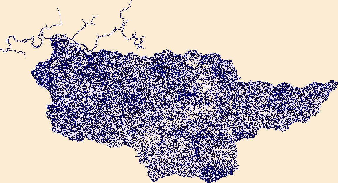
The High Resolution National Hydrography Dataset Plus (NHDPlus HR) is an integrated set of geospatial data layers, including the best available National Hydrography Dataset (NHD), the 10-meter 3D Elevation Program Digital Elevation Model (3DEP DEM), and the National Watershed Boundary Dataset (WBD). The NHDPlus HR combines the NHD, 3DEP DEMs, and WBD to create a stream network with linear referencing, feature naming, "value added attributes" (VAAs), elevation-derived catchments, and other features for hydrologic data analysis. The stream network with linear referencing is a system of data relationships applied to hydrographic systems so that one stream reach "flows" into another and "events" can be tied to and traced...
|

|
