Filters: Tags: Eureka County (X) > Date Range: {"choice":"year"} (X)
17 results (80ms)|
Filters
Date Types (for Date Range)
Categories Tag Types Tag Schemes |

This dataset represents "phreatophyte areas" mapped as part of a groundwater reconnaissance effort in four valleys in central Nevada and published in 1964. The data were digitized for comparison with mapping of groundwater discharge areas done in 2011 as part of a groundwater study in these valleys published in 2016.
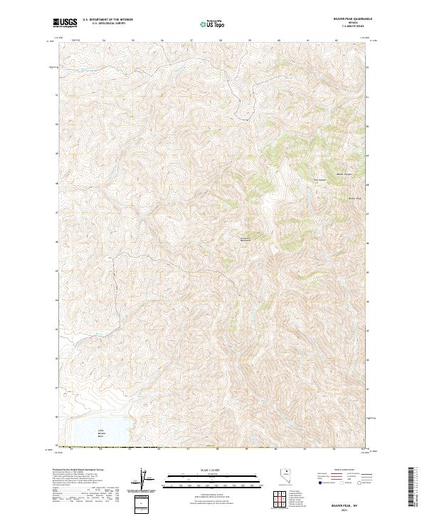
Layered geospatial PDF 7.5 Minute Quadrangle Map. Layers of geospatial data include orthoimagery, roads, grids, geographic names, elevation contours, hydrography, and other selected map features. This map is derived from GIS (geospatial information system) data. It represents a repackaging of GIS data in traditional map form, not creation of new information. The geospatial data in this map are from selected National Map data holdings and other government sources.
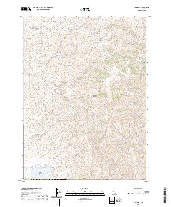
Layered geospatial PDF 7.5 Minute Quadrangle Map. Layers of geospatial data include orthoimagery, roads, grids, geographic names, elevation contours, hydrography, and other selected map features. This map is derived from GIS (geospatial information system) data. It represents a repackaging of GIS data in traditional map form, not creation of new information. The geospatial data in this map are from selected National Map data holdings and other government sources.

The High Resolution National Hydrography Dataset Plus (NHDPlus HR) is an integrated set of geospatial data layers, including the National Hydrography Dataset (NHD), National Watershed Boundary Dataset (WBD), and 3D Elevation Program Digital Elevation Model (3DEP DEM). The NHDPlus HR combines the NHD, 3DEP DEMs, and WBD to a data suite that includes the NHD stream network with linear referencing functionality, the WBD hydrologic units, elevation-derived catchment areas for each stream segment, "value added attributes" (VAAs), and other features that enhance hydrologic data analysis and routing.
The USGS and Newmont Mining Corp. surveyed 51 cross sections to determine hydraulic characteristics throughout 12 model reaches. The accuracy of the surveyed cross sections is believed to be +/- 0.5 ft. Field surveys included measuring the channel cross section up to the approximate altitude of the highest flood and includes auxiliary channels. Surveyed cross sections generally were at representative locations about every 3 miles along the Humboldt River channel. In areas where long overbank sections occurred, supplemental altitudes were determined from topographic maps in order to extend surveyed parts of cross sections so that each section represented the full width of the floodplain. In this dataset there is...

This dataset represents "phreatophyte areas" mapped as part of an analysis of irrigation pumping in Diamond Valley, Nevada published in 1968. The data were digitized for comparison with mapping of groundwater discharge areas done in 2011 as part of a groundwater study in these valleys published in 2016.
These data were created as part of a hydrologic study to characterize groundwater budgets and water quality in the Diamond Valley Flow System (DVFS), central Nevada. This dataset represents evapotranspiration (ET) units derived from the mean Enhanced Vegetation Index (EVI) calculated from two Landsat 5 Thematic Mapper scenes from the summer of 2010. ET units were defined within the DVFS groundwater discharge area (GDA) to group areas characterized by similar phreatophytic vegetation type and cover and to extrapolate site-scale groundwater ET estimates across the study area. This dataset represents three ET units: shrubland, grassland, and playa. The shrubland unit is composed of low to high density phreatophytic...

These data were created as part of a hydrologic study to characterize groundwater budgets and water quality in the Diamond Valley Flow System (DVFS), central Nevada. This dataset represents the groundwater discharge area (GDA) in the DVFS. Vegetated areas within the GDA are composed of phreatophytic shrubs with smaller areas of grassland, marshland, xeric vegetation, bare soil, and agricultural lands where phreatophytic shrubs historically were present. Vegetated areas outside the GDA are primarily composed of xeric vegetation and bare soil although very sparse phreatophytic shrubs may be present on the outer margins of the boundary. The GDA was mapped in the summer of 2011 using field reconnaissance and supporting...

These data were released prior to the October 1, 2016 effective date for the USGS’s policy dictating the review, approval, and release of scientific data as referenced in USGS Survey Manual Chapter 502.8 Fundamental Science Practices: Review and Approval of Scientific Data for Release. This data set consists of depth to ground water contours for hydrographic-area (HA) 153, Diamond Valley, Nevada. These data represent static ground-water levels measured in the HA during March and April of 2001. These data were created as part of an effort to provide statewide information on water table and depth to ground water for Nevada. Digital water-table contours from 38 published reports representing data from 1947 to 2004...

The High Resolution National Hydrography Dataset Plus (NHDPlus HR) is an integrated set of geospatial data layers, including the National Hydrography Dataset (NHD), National Watershed Boundary Dataset (WBD), and 3D Elevation Program Digital Elevation Model (3DEP DEM). The NHDPlus HR combines the NHD, 3DEP DEMs, and WBD to a data suite that includes the NHD stream network with linear referencing functionality, the WBD hydrologic units, elevation-derived catchment areas for each stream segment, "value added attributes" (VAAs), and other features that enhance hydrologic data analysis and routing.
This USGS data release represents data from the following publication: Plume, R.W., and Ponce, S.A., 1999, Hydrogeologic framework and ground-water levels, 1982 and 1996, middle Humboldt River basin, north-central Nevada: U.S. Geological Survey Water-Resources Investigations Report 98-4209, 2 plates, https://doi.org/10.3133/wri984209.

These data were created as part of a hydrologic study to characterize groundwater budgets and water quality in the Diamond Valley Flow System (DVFS), central Nevada. This dataset represents 2011 irrigated agricultural lands and associated land disturbances in the DVFS. The locations of irrigated agricultural lands were interpreted using Landsat imagery from the summer of 2011, National Agricultural Imagery Program imagery from 2010, and well water use information from the U.S. Geological Survey National Water Information System. Some areas classified as agricultural lands may be irrigated using diverted surface water or springs. Associated disturbances are areas that have been or may have been disturbed as a result...
Selected evapotranspiration data were collected between 7/8/2010 and 11/2/2012 at two eddy covariance sites and from 6/8/2011 to 11/2/2012 at two additional eddy covariance sites in Kobeh Valley, central Nevada. The data presented in this data release includes 30-minute and daily evapotranspiration and associated energy-balance fluxes, precipitation, soil water content, air and soil temperature, wind speed and direction, humidity, and photosynthetically active radiation data. Data collection and processing methods follow those described in Berger and others (2016). Berger, D.L., Mayers, C.J., Garcia, C.A., Buto, S.G., and Huntington, J.M., 2016, Budgets and chemical characterization of groundwater for the Diamond...
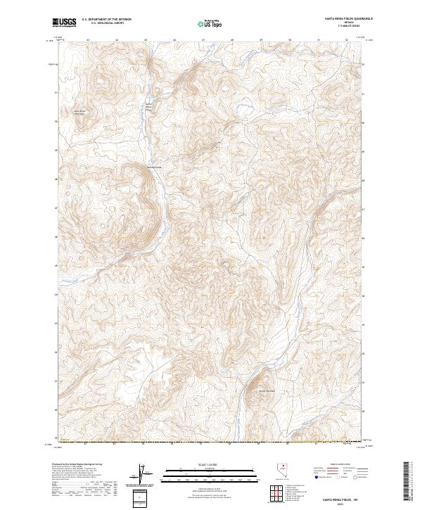
Layered geospatial PDF 7.5 Minute Quadrangle Map. Layers of geospatial data include orthoimagery, roads, grids, geographic names, elevation contours, hydrography, and other selected map features. This map is derived from GIS (geospatial information system) data. It represents a repackaging of GIS data in traditional map form, not creation of new information. The geospatial data in this map are from selected National Map data holdings and other government sources.
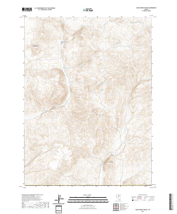
Layered geospatial PDF 7.5 Minute Quadrangle Map. Layers of geospatial data include orthoimagery, roads, grids, geographic names, elevation contours, hydrography, and other selected map features. This map is derived from GIS (geospatial information system) data. It represents a repackaging of GIS data in traditional map form, not creation of new information. The geospatial data in this map are from selected National Map data holdings and other government sources.

These data were created as part of a hydrologic study to characterize groundwater budgets and water quality in the Diamond Valley Flow System (DVFS), central Nevada. This dataset represents 2012 water levels in the DVFS. Water level contours were developed using data from wells primarily measured in 2012 although earlier water level data in select wells were used in cases where no new data were available and water levels were not expected to have changed over time. Detailed information about the sites used to construct these contours is available in the larger work citation listed in this document.

These data were created as part of a hydrologic study to characterize groundwater budgets and water quality in the Diamond Valley Flow System (DVFS), central Nevada. This dataset represents the mean Enhanced Vegetation Index (EVI) of two Landsat 5 Thematic Mapper scenes from the summer of 2010 in the DVFS. The data were used to evaluate and estimate groundwater discharge by evapotranspiration by relating the mean of EVI calculated from July 24 and August 25, 2010 Landsat scenes to evapotranspiration measured at 4 eddy-covariance sites located in phreatophytic vegetation of varying types and densities in Kobeh Valley, Nevada. Evapotranspiration was extrapolated for all valleys in the study area using the relation...
|

|
