Filters: Tags: FileGDB 10.1 (X) > Date Range: {"choice":"year"} (X) > partyWithName: U.S. Geological Survey, National Geospatial Technical Operations Center (X)
4 results (15ms)|
Filters
Date Types (for Date Range)
Tag Types Tag Schemes |
These vector contour lines are derived from the 3D Elevation Program using automated and semi-automated processes. They were created to support 1:24,000-scale CONUS and Hawaii, 1:25,000-scale Alaska, and 1:20,000-scale Puerto Rico / US Virgin Island topographic map products, but are also published in this GIS vector format. Contour intervals are assigned by 7.5-minute quadrangle, so this vector dataset is not visually seamless across quadrangle boundaries. The vector lines have elevation attributes (in feet above mean sea level on NAVD88), but this dataset does not carry line symbols or annotation.

Geospatial data that is a derivative land cover product depicting woodland on topographic maps.
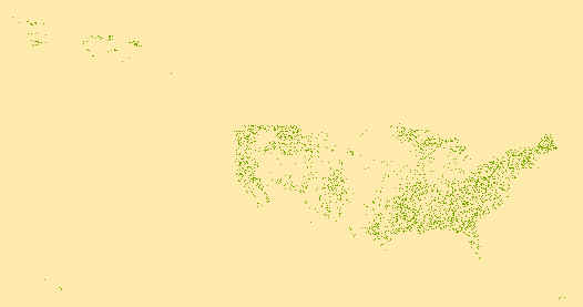
Geospatial data that is a derivative land cover product depicting woodland on topographic maps.
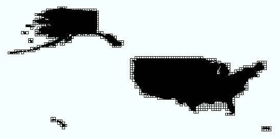
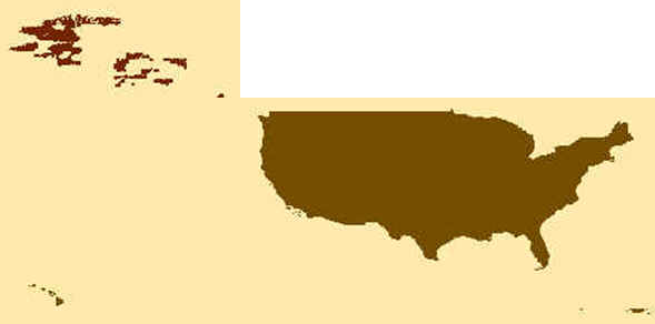
This data consists of data grids for the United States, including 1 X 2 Degree, 1 X 1 Degree, 30 X 60 Minute, 15 X 15 Minute, 7.5 X 7.5 Minute, and 3.75 X 3.75 Minute, along with custom-sized products, where a traditionally-published map exists. The grid was generated using ESRI ArcInfo GIS software. The grids represent the extent of topographic maps published by the USGS.
|

|
