Filters: Tags: Flaming Gorge (X)
13 results (41ms)|
Filters
Contacts
(Less)
|
This data set contains imagery from the National Agriculture Imagery Program (NAIP). The NAIP program is administered by USDA FSA and has been established to support two main FSA strategic goals centered on agricultural production. These are, increase stewardship of America's natural resources while enhancing the environment, and to ensure commodities are procured and distributed effectively and efficiently to increase food security. The NAIP program supports these goals by acquiring and providing ortho imagery that has been collected during the agricultural growing season in the U.S. The NAIP ortho imagery is tailored to meet FSA requirements and is a fundamental tool used to support FSA farm and conservation programs....
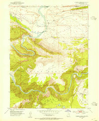
USGS Historical Quadrangle in GeoPDF.

Populations of the endangered razorback sucker (Xyrauchen texanus) in the middle Green River have declined since closure of Flaming Gorge Dam in 1962. The apparent cause for the decline is a lack of successful recruitment. Recruitment failure has been attributed to habitat alteration and competition and predation by exotic fishes on early life stages of razorback sucker. This study was conducted to evaluate two of the potential reproductive bottlenecks that might limit recruitment of razorback sucker in the Green River Drainage; (1) reduced larvae production due to sediment deposition on spawning areas, and (2) reduced survival of larvae or juveniles due to lack of timely access to food-rich backwater and floodplain...
Categories: Publication;
Tags: Flaming Gorge,
Green River,
Upper Colorado River Basin,
Yampa River,
razorback sucker
This data set contains imagery from the National Agriculture Imagery Program (NAIP). The NAIP program is administered by USDA FSA and has been established to support two main FSA strategic goals centered on agricultural production. These are, increase stewardship of America's natural resources while enhancing the environment, and to ensure commodities are procured and distributed effectively and efficiently to increase food security. The NAIP program supports these goals by acquiring and providing ortho imagery that has been collected during the agricultural growing season in the U.S. The NAIP ortho imagery is tailored to meet FSA requirements and is a fundamental tool used to support FSA farm and conservation programs....
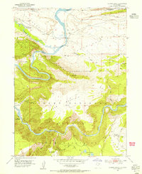
USGS Historical Quadrangle in GeoPDF.
This data set contains imagery from the National Agriculture Imagery Program (NAIP). The NAIP program is administered by USDA FSA and has been established to support two main FSA strategic goals centered on agricultural production. These are, increase stewardship of America's natural resources while enhancing the environment, and to ensure commodities are procured and distributed effectively and efficiently to increase food security. The NAIP program supports these goals by acquiring and providing ortho imagery that has been collected during the agricultural growing season in the U.S. The NAIP ortho imagery is tailored to meet FSA requirements and is a fundamental tool used to support FSA farm and conservation programs....
This data set contains imagery from the National Agriculture Imagery Program (NAIP). The NAIP program is administered by USDA FSA and has been established to support two main FSA strategic goals centered on agricultural production. These are, increase stewardship of America's natural resources while enhancing the environment, and to ensure commodities are procured and distributed effectively and efficiently to increase food security. The NAIP program supports these goals by acquiring and providing ortho imagery that has been collected during the agricultural growing season in the U.S. The NAIP ortho imagery is tailored to meet FSA requirements and is a fundamental tool used to support FSA farm and conservation programs....
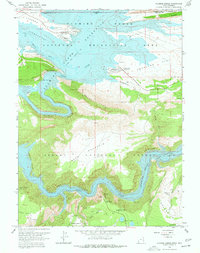
USGS Historical Quadrangle in GeoPDF.
This data set contains imagery from the National Agriculture Imagery Program (NAIP). The NAIP program is administered by USDA FSA and has been established to support two main FSA strategic goals centered on agricultural production. These are, increase stewardship of America's natural resources while enhancing the environment, and to ensure commodities are procured and distributed effectively and efficiently to increase food security. The NAIP program supports these goals by acquiring and providing ortho imagery that has been collected during the agricultural growing season in the U.S. The NAIP ortho imagery is tailored to meet FSA requirements and is a fundamental tool used to support FSA farm and conservation programs....
Populations of the endangered razorback sucker (Xyrauchen texanus) in the middle Green River have declined since closure of Flaming Gorge Dam in 1962. The apparent cause for the decline is a lack of successful recruitment. Recruitment failure has been attributed to habitat alteration and competition and predation by exotic fishes on early life stages of razorback sucker. This study was conducted to evaluate two of the potential reproductive bottlenecks that might limit recruitment of razorback sucker in the Green River Drainage; (1) reduced larvae production due to sediment deposition on spawning areas, and (2) reduced survival of larvae or juveniles due to lack of timely access to food-rich backwater and floodplain...
This layer shows the National Recreation areas found in Wyoming. This layer was created by subsetting a layer showing federally managed data within the state of Wyoming and obtaining all National Recreation Areas; Flaming Gorge and Bighorn Canyon.
Categories: Data;
Types: Downloadable;
Tags: Bighorn Canyon,
Camping,
Fishing,
Flaming Gorge,
National Recreation Area,
This data set contains imagery from the National Agriculture Imagery Program (NAIP). The NAIP program is administered by USDA FSA and has been established to support two main FSA strategic goals centered on agricultural production. These are, increase stewardship of America's natural resources while enhancing the environment, and to ensure commodities are procured and distributed effectively and efficiently to increase food security. The NAIP program supports these goals by acquiring and providing ortho imagery that has been collected during the agricultural growing season in the U.S. The NAIP ortho imagery is tailored to meet FSA requirements and is a fundamental tool used to support FSA farm and conservation programs....
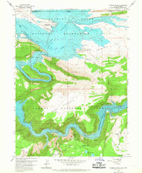
USGS Historical Quadrangle in GeoPDF.
|

|
