Filters: Tags: Forest (X)
1,020 results (57ms)|
Filters
Date Range
Extensions Types Contacts
Categories Tag Types
|
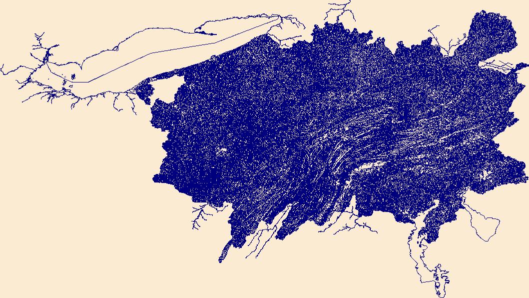
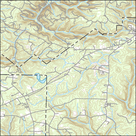
As part of Upper Mississippi River Restoration (UMRR), the U.S. Army Corps of Engineers (USACE) is conducting a study to understand what environmental factors are contributing to the regeneration of floodplain forest. This dataset uses lidar derivatives to identify forest canopy gaps along select portions of the Mississippi River and Illinois River. USACE will use this dataset to select field sites to collect data in forest canopy gaps. This will also serve as the baseline for long-term forest canopy gap study.
Categories: Data;
Types: Downloadable,
Map Service,
OGC WFS Layer,
OGC WMS Layer,
Shapefile;
Tags: Illinois,
Missouri,
Navigational Pool 26,
canopy gap,
canopy height model,

USGS Historical Quadrangle in GeoPDF.
We summarized annual remote sensing land cover classifications from the U.S. Geological Survey Land Cover Monitoring, Assessment, and Projection (LCMAP) annual time series to characterize forest change across the conterminous United States (CONUS) for the years 1985-2020. The raster output includes a map where each pixel is given an integer value based on the number of years in which it was classified as forest across the annual LCMAP time series. Values of 36 indicate the pixel was classified as forest across all years while a value of 0 indicates forests (tree cover) was never detected during the time series.
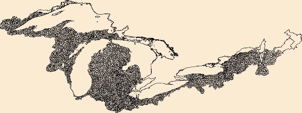
The National Hydrography Dataset (NHD) is a feature-based database that interconnects and uniquely identifies the stream segments or reaches that make up the nation's surface water drainage system. NHD data was originally developed at 1:100,000-scale and exists at that scale for the whole country. This high-resolution NHD, generally developed at 1:24,000/1:12,000 scale, adds detail to the original 1:100,000-scale NHD. (Data for Alaska, Puerto Rico and the Virgin Islands was developed at high-resolution, not 1:100,000 scale.) Local resolution NHD is being developed where partners and data exist. The NHD contains reach codes for networked features, flow direction, names, and centerline representations for areal water...
Geospatial data includes structures and other selected map features.

These data were released prior to the October 1, 2016 effective date for the USGS’s policy dictating the review, approval, and release of scientific data as referenced in USGS Survey Manual Chapter 502.8 Fundamental Science Practices: Review and Approval of Scientific Data for Release. These datasets each consist of a workspace (folder) containing a collection of gridded datasets plus a personal geodatabase containing several vector datasets. These datasets are designed to be used with the ArcHydro Tools, developed by ESRI in partnership with the U.S. Geological Survey, StreamStats Development Team. The datasets, together with the ArcHydro Tools, allow users to delineate watersheds and compute several watershed...
Categories: pre-SM502.8;
Tags: Geoscientific Information,
Hawaii,
Inland Waters,
NORTH AMERICA,
NSDI,

These data were released prior to the October 1, 2016 effective date for the USGS’s policy dictating the review, approval, and release of scientific data as referenced in USGS Survey Manual Chapter 502.8 Fundamental Science Practices: Review and Approval of Scientific Data for Release. These datasets each consist of a folder containing a personal geodatabase of the NHD, and shapefiles used in the HydroDEM process. These files are provided as a means to document exactly which lines were used to develop the HydroDEMs. Each folder contains a line shapefile named for the 8-digit HUC code, containing the NHD flowlines that comprise the coastline for that island. The “hydrolines.shp” shapefile contains the lines that...
Categories: pre-SM502.8;
Tags: Geoscientific Information,
Hawaii,
Inland Waters,
NORTH AMERICA,
NSDI,
The Geographic Names Information System (GNIS) is the Federal standard for geographic nomenclature. The U.S. Geological Survey developed the GNIS for the U.S. Board on Geographic Names, a Federal inter-agency body chartered by public law to maintain uniform feature name usage throughout the Government and to promulgate standard names to the public. The GNIS is the official repository of domestic geographic names data; the official vehicle for geographic names use by all departments of the Federal Government; and the source for applying geographic names to Federal electronic and printed products of all types.
The Watershed Boundary Dataset (WBD) is a comprehensive aggregated collection of hydrologic unit data consistent with the national criteria for delineation and resolution. It defines the areal extent of surface water drainage to a point except in coastal or lake front areas where there could be multiple outlets as stated by the "Federal Standards and Procedures for the National Watershed Boundary Dataset (WBD)" "Standard" (https://pubs.usgs.gov/tm/11/a3/). Watershed boundaries are determined solely upon science-based hydrologic principles, not favoring any administrative boundaries or special projects, nor particular program or agency. This dataset represents the hydrologic unit boundaries to the 12-digit (6th level)...
The Watershed Boundary Dataset (WBD) is a comprehensive aggregated collection of hydrologic unit data consistent with the national criteria for delineation and resolution. It defines the areal extent of surface water drainage to a point except in coastal or lake front areas where there could be multiple outlets as stated by the "Federal Standards and Procedures for the National Watershed Boundary Dataset (WBD)" "Standard" (https://pubs.usgs.gov/tm/11/a3/). Watershed boundaries are determined solely upon science-based hydrologic principles, not favoring any administrative boundaries or special projects, nor particular program or agency. This dataset represents the hydrologic unit boundaries to the 12-digit (6th level)...
Layers of geospatial data include contours, boundaries, land cover, hydrography, roads, transportation, geographic names, structures, and other selected map features.
Types: Citation;
Tags: 7.5 x 7.5 minute,
7_5_Min,
Combined Vector,
Combined Vector,
Combined Vector,
Layers of geospatial data include contours, boundaries, land cover, hydrography, roads, transportation, geographic names, structures, and other selected map features.
Types: Citation;
Tags: 7.5 x 7.5 minute,
7_5_Min,
Combined Vector,
Combined Vector,
Combined Vector,
Layers of geospatial data include contours, boundaries, land cover, hydrography, roads, transportation, geographic names, structures, and other selected map features.
Types: Citation;
Tags: 7.5 x 7.5 minute,
7_5_Min,
Combined Vector,
Combined Vector,
Combined Vector,
Layers of geospatial data include contours, boundaries, land cover, hydrography, roads, transportation, geographic names, structures, and other selected map features.
The National Hydrography Dataset (NHD) is a feature-based database that interconnects and uniquely identifies the stream segments or reaches that make up the nation's surface water drainage system. NHD data was originally developed at 1:100,000-scale and exists at that scale for the whole country. This high-resolution NHD, generally developed at 1:24,000/1:12,000 scale, adds detail to the original 1:100,000-scale NHD. (Data for Alaska, Puerto Rico and the Virgin Islands was developed at high-resolution, not 1:100,000 scale.) Local resolution NHD is being developed where partners and data exist. The NHD contains reach codes for networked features, flow direction, names, and centerline representations for areal water...
The National Hydrography Dataset (NHD) is a feature-based database that interconnects and uniquely identifies the stream segments or reaches that make up the nation's surface water drainage system. NHD data was originally developed at 1:100,000-scale and exists at that scale for the whole country. This high-resolution NHD, generally developed at 1:24,000/1:12,000 scale, adds detail to the original 1:100,000-scale NHD. (Data for Alaska, Puerto Rico and the Virgin Islands was developed at high-resolution, not 1:100,000 scale.) Local resolution NHD is being developed where partners and data exist. The NHD contains reach codes for networked features, flow direction, names, and centerline representations for areal water...
These vector contour lines are derived from the 3D Elevation Program using automated and semi-automated processes. They were created to support 1:24,000-scale CONUS and Hawaii, 1:25,000-scale Alaska, and 1:20,000-scale Puerto Rico / US Virgin Island topographic map products, but are also published in this GIS vector format. Contour intervals are assigned by 7.5-minute quadrangle, so this vector dataset is not visually seamless across quadrangle boundaries. The vector lines have elevation attributes (in feet above mean sea level on NAVD88), but this dataset does not carry line symbols or annotation.
Climate change has altered the environment in which forests grow, and climate change models predict more severe alterations to come. Forests have already responded to these changes, and the future temperature and precipitation scenarios are of foremost concern, especially in the mountainous western United States, where forests occur in the dry environments that interface with grasslands. The objective of this study was to understand the trade-offs between temperature and water controls on these forested sites in the context of available climate projections. Three temperature and precipitation scenarios from IPCC AR4 AOGCMs ranging in precipitation levels were input to the process model Biome-BGC for key forested...
Categories: Publication;
Types: Citation,
Journal Citation;
Tags: Ecological Applications,
Ecological Society of America,
carbon,
climate change,
forest,
These data display national forest and ranger district boundaries for Region 1, 2 and 4. Note that many private and state-owned parcels lie within the national forest boundaries depicted in these data. Note that these data do not conform entirely with official national forest boundaries: (1) the boundaries included here have been expanded to encompass national forest system lands that lie outside of the official forest boundary and (2) many small and discrete polygons that have no national forest ownership but were (and are) included in the officially designated forest boundary are not included in these data. To obtain actual boundaries use most accurate land management data layer.
Categories: Data;
Types: Downloadable;
Tags: Colorado,
Federal Government,
Forest,
Forest Service,
Idaho,
This data set contains imagery from the National Agriculture Imagery Program (NAIP). The NAIP program is administered by USDA FSA and has been established to support two main FSA strategic goals centered on agricultural production. These are, increase stewardship of America's natural resources while enhancing the environment, and to ensure commodities are procured and distributed effectively and efficiently to increase food security. The NAIP program supports these goals by acquiring and providing ortho imagery that has been collected during the agricultural growing season in the U.S. The NAIP ortho imagery is tailored to meet FSA requirements and is a fundamental tool used to support FSA farm and conservation programs....
|

|
