Filters: Tags: Forest County (X) > Date Range: {"choice":"month"} (X)
2 results (53ms)|
Filters
Date Types (for Date Range)
Types Contacts
Categories Tag Types Tag Schemes |

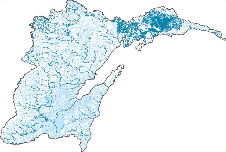
The High Resolution National Hydrography Dataset Plus (NHDPlus HR) is an integrated set of geospatial data layers, including the best available National Hydrography Dataset (NHD), the 10-meter 3D Elevation Program Digital Elevation Model (3DEP DEM), and the National Watershed Boundary Dataset (WBD). The NHDPlus HR combines the NHD, 3DEP DEMs, and WBD to create a stream network with linear referencing, feature naming, "value added attributes" (VAAs), elevation-derived catchments, and other features for hydrologic data analysis. The stream network with linear referencing is a system of data relationships applied to hydrographic systems so that one stream reach "flows" into another and "events" can be tied to and traced...
This dataset contains spatial datasets of topographic and bathymetric survey data in addition to data table the shapefile data collected at the 3 focal areas of research included in the Sustainable Rivers Program (SRP) in the Allegheny River that were collected and processed in collaboration with US Army Corps of Engineers (USACE). The dataset is a combination of terrestrial topographic and bathymetry data measured by Trimble R10 Model 2 GNSS survey equipment or a FlowTracker2 Acoustic Doppler Velocimeter (ADV). The FlowTracker2 was used for flow measurements and water depth and spatial location of each flow measurement point were used to calculate river bottom bathymetry at those locations. Additionally, National...
Categories: Data;
Types: Downloadable,
Map Service,
OGC WFS Layer,
OGC WMS Layer,
Shapefile;
Tags: Allegheny River,
Allegheny River,
Ecology,
Forest County,
GPS measurement,
|

|