Filters: Tags: Geography (X)
1,234 results (86ms)|
Filters
Date Range
Extensions
Types
Contacts
Categories
Tag Types
|
The U.S. Geological Survey (USGS), in cooperation with the Cook County Bureau of Technology (BOT), prioritized waterbodies (lakes, rivers, and canals) of interest within Cook County to survey in 2022. These surveys describe the bathymetry and basic water-quality conditions observed, and could be used by the BOT to assist with resource management decisions and uses, as well as build an inventory that could be shared with other local governmental agencies. Waterbodies surveyed in 2022 and included in this data release are: Arrowhead Lake, Axehead Lake, Baker's Lake, Belly Deep Slough, Bode Lake North, Bode Lake South, Bull Frog Lake, Busse Lake Main Pool, Busse Lake North Pool, Busse Lake South Pool, Busse Woods...
Categories: Data;
Types: Map Service,
OGC WFS Layer,
OGC WMS Layer,
OGC WMS Service;
Tags: Chicago,
Cook County,
Environmental Health,
Geography,
Hydrology,
These data were compiled for/to National Park Service and Upper Colorado River Endangered Fish Recovery Program. Objective(s) of our study were to resurvey previously established cross sections on the Green River, Utah, in, and upstream, from Ouray National Wildlife Refuge to document changes in channel width, depth, and cross-sectional area. These data represent the 2020 resurvey coordinates and elevations of previously established cross sections (1994 - 1996) on the Green River. These data were collected in the Green River between Jensen and Ouray, Utah from October 11-16, 2020. These data were collected by Ronald Griffiths and Joel Unema from the U.S. Geological Survey using real-time kinematic (RTK) GPS positioning....
Rasters of positive openness and positive openness difference in the Greater Raleigh, NC Area based on 1-meter high-resolution lidar-derived digital elevation models (DEMs). This dataset contains positive openness rasters for 2013, 2015, and 2022 and one positive openness difference raster. The positive openness difference raster represents the difference in positive openness values between the years 2015 and 2022. The 2015 and 2022 positive openness rasters were selected for differencing because of the superior quality level (QL2) of base lidar data used to develop the positive openness rasters compared with the poorer quality level (QL3) of base lidar data used to develop the 2013 positive openness raster. Positive...
This part of the data release presents a shapefile that includes a spatial index of orthoimagery and elevation data describing the Alaskan coastline from Icy Cape to Cape Prince of Wales. The data products referenced in this index include orthoimagery, digital surface models, and elevation point clouds which were generated from aerial imagery using structure-from-motion methods. Fairbanks Fodar, a contracted mapping service, collected the aerial imagery in 2016 and created all of the data products referenced here. Due to the enormous extent of this dataset, the products are split into separate files with more manageable sizes. Each polygon in this shapefile index provides a geographic outline of a data file’s coverage,...
Categories: Data;
Types: Downloadable,
Map Service,
OGC WFS Layer,
OGC WMS Layer,
Shapefile;
Tags: CMHRP,
Cape Beaufort,
Cape Espenberg,
Cape Krusenstern,
Cape Lewis,
This data release provides flooding extent polygons based on wave-driven total water levels for the coral lined coast of Florida and the Commonwealth of Puerto Rico. The wave and sea-level conditions were then propagated using the XBeach over 100-m spaced shore-normal transects modified to account for base and post-storm scenarios. In situ observations following hurricanes Irma and Maria were used to create classifications of impact level to reefs where 0 = no impact, 0 - 0.05 = minor impact, 0.05 - 0.15 = moderate impact, and 0.15 - 1.00 = major impact. Categories were converted into numeric values of 0, 1, 2, and 3 that corresponded with the none, minor, moderate, and major damage category, respectively. These...

The Geographic Names Information System (GNIS) is the Federal standard for geographic nomenclature. The U.S. Geological Survey developed the GNIS for the U.S. Board on Geographic Names, a Federal inter-agency body chartered by public law to maintain uniform feature name usage throughout the Government and to promulgate standard names to the public. The GNIS is the official repository of domestic geographic names data; the official vehicle for geographic names use by all departments of the Federal Government; and the source for applying geographic names to Federal electronic and printed products of all types.
The Geographic Names Information System (GNIS) is the Federal standard for geographic nomenclature. The U.S. Geological Survey developed the GNIS for the U.S. Board on Geographic Names, a Federal inter-agency body chartered by public law to maintain uniform feature name usage throughout the Government and to promulgate standard names to the public. The GNIS is the official repository of domestic geographic names data; the official vehicle for geographic names use by all departments of the Federal Government; and the source for applying geographic names to Federal electronic and printed products of all types.
The Geographic Names Information System (GNIS) is the Federal standard for geographic nomenclature. The U.S. Geological Survey developed the GNIS for the U.S. Board on Geographic Names, a Federal inter-agency body chartered by public law to maintain uniform feature name usage throughout the Government and to promulgate standard names to the public. The GNIS is the official repository of domestic geographic names data; the official vehicle for geographic names use by all departments of the Federal Government; and the source for applying geographic names to Federal electronic and printed products of all types.
This dataset includes elevation-based probability and depth statistics for estimating inundation under various sea-level rise and high tide flooding scenarios in and around the National Park Service’s Biscayne National Park. For information on the digital elevation model (DEM) source used to develop these datasets refer to the corresponding spatial metadata file (Danielson and others, 2023). This data release includes results from analyses of two local sea-level rise scenarios for two-time steps — the Intermediate-Low and Intermediate-High for 2040 and 2080 from Sweet and others (2022). Additionally, this data release includes maps of inundation probability under the minor, moderate, and major hight tide flooding...
This dataset includes elevation-based probability and depth statistics for estimating inundation under various sea-level rise and high tide flooding scenarios in and around the National Park Service’s Big Cypress National Preserve. For information on the digital elevation model (DEM) source used to develop these datasets refer to the corresponding spatial metadata file (Danielson and others, 2023). This data release includes results from analyses of two local sea-level rise scenarios for two-time steps — the Intermediate-Low and Intermediate-High for 2050 and 2100 from Sweet and others (2022). Additionally, this data release includes maps of inundation probability under the minor, moderate, and major high tide flooding...
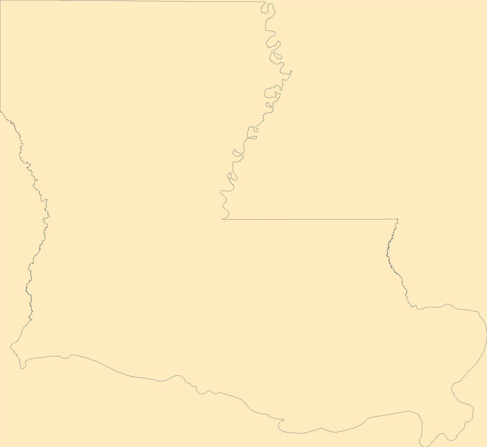
The Louisiana State Legislature created the Coastal Wetlands Planning, Protection and Restoration Act (CWPPRA) in order to conserve, restore, create and enhance Louisiana's coastal wetlands. The wetland restoration plans developed pursuant to these acts specifically require an evaluation of the effectiveness of each coastal wetlands restoration project in achieving long-term solutions to arresting coastal wetlands loss. This data set includes mosaicked aerial photographs for the Bayou Bonfouca Marsh Creation (PO-104) project for 2016 and 2018. This data is used as a basemap land-water classification. It also serves as a visual tool for project managers to help them identify any obvious problems or land loss within...
The Barrier Island Comprehensive Monitoring (BICM) program was developed by Louisiana’s Coastal Protection and Restoration Authority (CPRA) and is implemented as a component of the System Wide Assessment and Monitoring Program (SWAMP). The program uses both historical data and contemporary data collections to assess and monitor changes in the aerial and subaqueous extent of islands, habitat types, sediment texture and geotechnical properties, environmental processes, and vegetation composition. Examples of BICM datasets include still and video aerial photography for documenting shoreline changes, shoreline positions, habitat mapping, land change analyses, light detection and ranging (lidar) surveys for topographic...
A barrier island habitat prediction model was used to forecast barrier island habitats (for example, beach, dune, intertidal marsh, and woody vegetation) for Dauphin Island, Alabama, based on potential island configurations associated with a variety of restoration measures and varying future conditions of storminess and sea-levels. In this study, we loosely coupled a habitat model framework with decadal hydrodynamic geomorphic model outputs to forecast habitats for 2 potential future conditions related to storminess (that is, "medium" storminess and "high" storminess based on storm climatology data) and 4 sea-level scenarios (that is, a "low" increase in sea level 0.3 m by around 2030 and 2050 and 1.0 m by around...
Sand beaches are dynamic, making it difficult to accurately predict habitat loss from sea level rise (SLR). We mapped sand beach habitat based on two datasets - a remotely sensed land cover and hand-digitized aerial imagery collected concurrently with digital elevation data. Data include the predicted area of beach habitat still above water (units = number of pixels) from SLR per decade, for 3 SLR scenarios, based on two mapping methods, for 12 barrier island beaches and 4 control islands off Florida's Gulf Coast.
The Barrier Island Comprehensive Monitoring (BICM) program was developed by Louisiana’s Coastal Protection and Restoration Authority (CPRA) and is implemented as a component of the System Wide Assessment and Monitoring Program (SWAMP). The program uses both historical data and contemporary data collections to assess and monitor changes in the aerial and subaqueous extent of islands, habitat types, sediment texture and geotechnical properties, environmental processes, and vegetation composition. Examples of BICM datasets include still and video aerial photography for documenting shoreline changes, shoreline positions, habitat mapping, land change analyses, light detection and ranging (lidar) surveys for topographic...
This package includes a detailed habitat map, general habitat map, and georeferenced imagery from 2019 for the National Fish and Wildlife Foundation (NFWF) Caminada Headland Beach and Dune Restoration Incr2 project area (BA-0143). The project restored 489 acres of beach and dune habitat along more than seven miles of Caminada Headland in Jefferson and Lafourche Parishes through the direct placement of about 5.4 million cubic yards of sandy substrate from Ship Shoal. The habitat maps are part of a suite of Caminada Headland habitat maps for the years 2012, 2015, and 2017–19, which span the time period before, during, and after the restoration project was conducted. For more information on this restoration project,...
This package includes a detailed habitat map, general habitat map, and georeferenced imagery from 2018 for the National Fish and Wildlife Foundation (NFWF) Caminada Headland Beach and Dune Restoration Incr2 project area (BA-0143). The project restored 489 acres of beach and dune habitat along more than seven miles of Caminada Headland in Jefferson and Lafourche Parishes through the direct placement of about 5.4 million cubic yards of sandy substrate from Ship Shoal. The habitat maps are part of a suite of Caminada Headland habitat maps for the years 2012, 2015, and 2017–19, which span the time period before, during, and after the restoration project was conducted. For more information on this restoration project,...
The Louisiana State Legislature created Coastal Wetlands Planning, Protection, and Restoration Act (CWPPRA) in order to conserve, restore, create and enhance Louisiana's coastal wetlands. The wetland restoration plans developed pursuant to these acts specifically require an evaluation of the effectiveness of each coastal wetlands restoration project in achieving long-term solutions to arresting coastal wetlands loss. This data set includes mosaicked aerial photographs for the GIWW (Gulf Intracoastal Waterway) to Clovelly Hydrologic Restoration (BA-02) project for 2016. This data is used as a basemap land/water classification. It also serves as a visual tool for project managers to help them identify any obvious...
Categories: Data;
Types: Downloadable,
GeoTIFF,
Map Service,
Raster;
Tags: BA-02,
CWPPRA,
Coastal Louisiana,
DEM,
DOQQ,
The Louisiana State Legislature created Coastal Wetlands Planning, Protection and Restoration Act (CWPPRA) in order to conserve, restore, create and enhance Louisiana's coastal wetlands. The wetland restoration plans developed pursuant to these acts specifically require an evaluation of the effectiveness of each coastal wetlands restoration project in achieving long-term solutions to arresting coastal wetlands loss. This data set includes mosaicked aerial photographs for the Marsh Island Hydrologic Restoration (TV-14) project for 2016. This data is used as a basemap land-water classification. It also serves as a visual tool for project managers to help them identify any obvious problems or land loss within their...
Categories: Data;
Types: Downloadable,
GeoTIFF,
Map Service,
Raster;
Tags: CWPPRA,
Coastal Louisiana,
DEM,
DOQQ,
Ecology,
This imagery dataset consists of 3-meter resolution, lidar-derived imagery of the Beckley 30 x 60 minute quadrangle in West Virginia, Virginia and Kentucky. The source data used to construct this imagery consists of 1-meter resolution lidar-derived digital elevation models (DEMs). The lidar source data were compiled from different acquisitions published between 2020 and 2022. The data were processed using geographic information systems (GIS) software. The data is projected in WGS 1984 Web Mercator. This representation illustrates the terrain as a hillshade with contrast adjusted to highlight local relief according to a topographic position index (TPI) calculation.
Categories: Data;
Types: Downloadable,
GeoTIFF,
Map Service,
OGC WFS Layer,
OGC WMS Layer,
OGC WMS Service,
Raster;
Tags: Economic Geology,
Geography,
Geomorphology,
Kentucky,
Land Use Change,
|

|
