Filters: Tags: Gila County (X)
980 results (34ms)|
Filters
Date Range
Contacts
Categories Tag Types
|
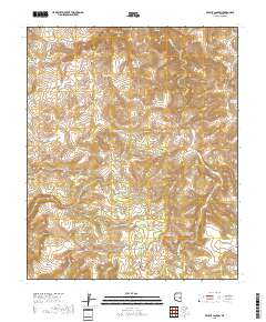
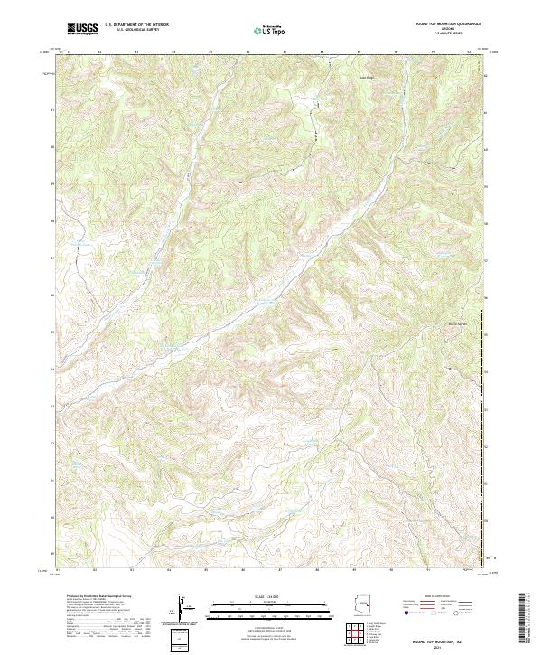
Layered geospatial PDF 7.5 Minute Quadrangle Map. Layers of geospatial data include orthoimagery, roads, grids, geographic names, elevation contours, hydrography, and other selected map features. This map is derived from GIS (geospatial information system) data. It represents a repackaging of GIS data in traditional map form, not creation of new information. The geospatial data in this map are from selected National Map data holdings and other government sources.
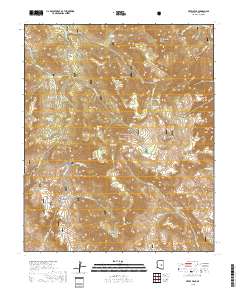
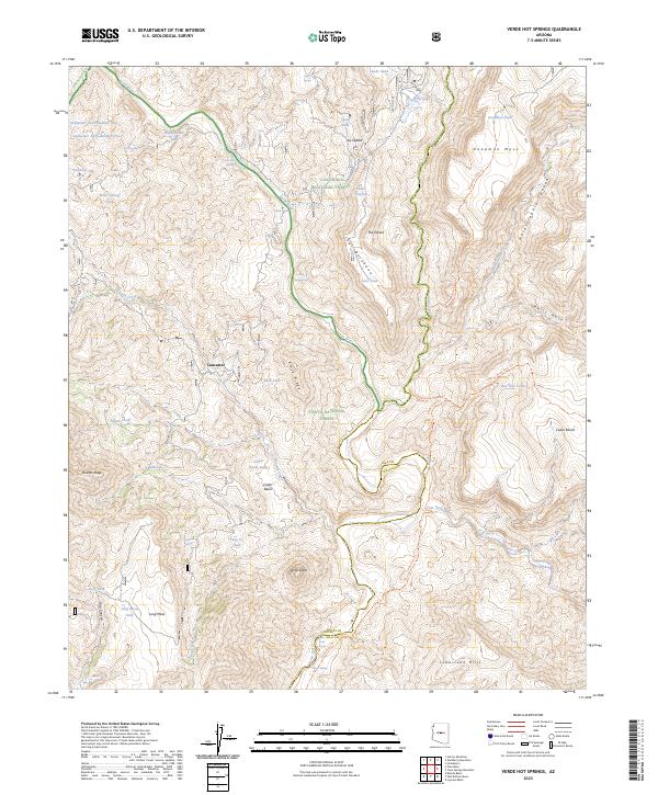
Layered geospatial PDF 7.5 Minute Quadrangle Map. Layers of geospatial data include orthoimagery, roads, grids, geographic names, elevation contours, hydrography, and other selected map features. This map is derived from GIS (geospatial information system) data. It represents a repackaging of GIS data in traditional map form, not creation of new information. The geospatial data in this map are from selected National Map data holdings and other government sources.
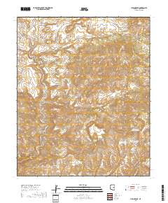
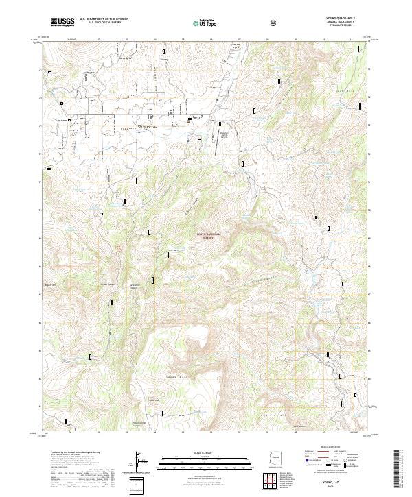
Layered geospatial PDF 7.5 Minute Quadrangle Map. Layers of geospatial data include orthoimagery, roads, grids, geographic names, elevation contours, hydrography, and other selected map features. This map is derived from GIS (geospatial information system) data. It represents a repackaging of GIS data in traditional map form, not creation of new information. The geospatial data in this map are from selected National Map data holdings and other government sources.
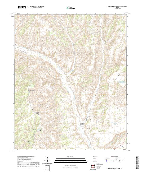
Layered geospatial PDF 7.5 Minute Quadrangle Map. Layers of geospatial data include orthoimagery, roads, grids, geographic names, elevation contours, hydrography, and other selected map features. This map is derived from GIS (geospatial information system) data. It represents a repackaging of GIS data in traditional map form, not creation of new information. The geospatial data in this map are from selected National Map data holdings and other government sources.
These vector contour lines are derived from the 3D Elevation Program using automated and semi-automated processes. They were created to support 1:24,000-scale CONUS and Hawaii, 1:25,000-scale Alaska, and 1:20,000-scale Puerto Rico / US Virgin Island topographic map products, but are also published in this GIS vector format. Contour intervals are assigned by 7.5-minute quadrangle, so this vector dataset is not visually seamless across quadrangle boundaries. The vector lines have elevation attributes (in feet above mean sea level on NAVD88), but this dataset does not carry line symbols or annotation.
Layered geospatial PDF 7.5 Minute Quadrangle Map. Layers of geospatial data include orthoimagery, roads, grids, geographic names, elevation contours, hydrography, and other selected map features. This map is derived from GIS (geospatial information system) data. It represents a repackaging of GIS data in traditional map form, not creation of new information. The geospatial data in this map are from selected National Map data holdings and other government sources.
Layered geospatial PDF 7.5 Minute Quadrangle Map. Layers of geospatial data include orthoimagery, roads, grids, geographic names, elevation contours, hydrography, and other selected map features. This map is derived from GIS (geospatial information system) data. It represents a repackaging of GIS data in traditional map form, not creation of new information. The geospatial data in this map are from selected National Map data holdings and other government sources.
Layered geospatial PDF 7.5 Minute Quadrangle Map. Layers of geospatial data include orthoimagery, roads, grids, geographic names, elevation contours, hydrography, and other selected map features. This map is derived from GIS (geospatial information system) data. It represents a repackaging of GIS data in traditional map form, not creation of new information. The geospatial data in this map are from selected National Map data holdings and other government sources.
ADMMR map collection: Regal Asbestos Mine Proposed Exploration Scheme; 1 in. to 100 feet; 11 x 14 in.
Categories: Data;
Tags: Arizona,
Asbestos, Long Fiber,
Asbestos, Short Fiber,
Blue House Mtn - 15 Min,
Carrizo Embayment physiographic area,
ADMMR map collection: Iron King Area, Churn Drill Hole Number 1; 8 x 18 in.
ADMMR map collection: Gila Copper Sulphide Company, Christmas Geologic Map 300 Level South; 1 in. to 40 feet; 35 x 24 in.
ADMMR map collection: Liz Limestone, Sample Locations; 1 in. to 200 feet; 14 x 20 in.
ADMMR map collection: Christmas Copper Corporation Section Y-Y'; 1 in. to 80 feet; 40 x 24 in.
ADMMR map collection: Christmas Mine 770 Level; 1 in. to 100 feet; 31 x 22 in.
ADMMR map collection: Gowan Calculated Strike of Fault Map; 36 x 19 in.
ADMMR map collection: Christmas Copper Company Geologic Map 400 Level South; 1 in. to 40 feet; 34 x 24 in.
ADMMR map collection: Asbestos Mines and Properties in Gila County; 1 in. to 4 miles; 14 x 19 in.
ADMMR map collection: Bluebird Mine Pit Area Drill Hole Locations; 1 in. to 100 feet; 36 x 42 in.
Categories: Data;
Tags: 1970s,
Arizona,
Bluebird Mine,
Boston Miami Copper Co. Prop.,
Carrow Property,
ADMMR map collection: Christmas Plan and Section Through Diamond Drill Hole 1; 1 in. to 20 feet; 17 x 22 in.
Categories: Data;
Tags: Abrasive,
Arizona,
Christmas - 7.5 Min,
Christmas Mine,
Christmas metallic mineral dist.,
ADMMR map collection: Copper Springs E-W Cross Sections; 1 in. to 400 feet; 27 x 33 in.
|

|
